Near Fox Creek in Conejos County, Colorado — The American Mountains (Southwest)
Osier, Colorado
Clearing the Snow so the Train Can Go
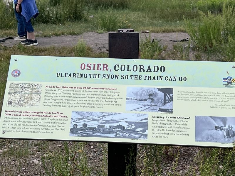
Photographed by Sandra Hughes Tidwell, August 7, 2025
1. Osier, Colorado Marker
At 9,637 feet, Osier was one of the D&RG's most remote stations. As early as 1882, it operated as one of the few open train order telegraph offices along the Cumbres Pass route and was especially busy during stock shipping season and winter snow removal. Section crews assisted rotary snow plows, flangers, and Jordan snow spreaders to clear the line. Each spring, ranchers brought their sheep and cattle to graze on nearby meadows before herding them into Osier stock pens for shipment to market.
Named for the Willows along the Rio de Los Pinos, Osier is about halfway between Antoniot and Chama. The D&RG railroad reached Osier in 1880. They built the small depot, section house, water tank, and coaling platform within sight of the old toll road between Conejos, CO., and Chama, NM. In 1888, they added a covered turntable, and by 1900, thousands of feet of showsheds and snow fences.
Caption:
Dreaming of a White Christmas? No problem! Telegrapher Charles Lively photographed Osier while stationed here with his wife and son, ca 1905-10. Snow fences (above the station) kept snow from drifting across the tracks.
Topics.
this page online
Location. 37° 0.818′ N, 106° 20.173′ W. Marker is near Fox Creek, Colorado, in Conejos County. It is on Fdr 103. Touch for map. Marker is at or near this postal address: 1400 Fdr 103, Antonito CO 81120, United States of America. Touch for directions.

Regionally, this marker is in the San Juan Mountains and in the San Luis Valley. It is also in the American Mountain West. Globally, it is in North America, the Rocky Mountains, the Western Hemisphere, the Western World, and the Anglosphere. Historically, it finds itself in what was once New Spain and also the Republic of Texas.
Other nearby markers. At least 8 other markers are within walking distance of this marker: Turntable Site (a few steps from this marker); Bunkhouse Site (a few steps from this marker); Depot (a few steps from this marker); Coal Platform (a few steps from this marker); Gravity Fed Water Tank (within shouting distance of this marker); Railroad Quarters (within shouting distance of this marker); The Old Toll Road (within shouting distance of this marker); Livestock Loading Pens (about 400 feet away, measured in a direct line). Touch for a list and map of all markers in Fox Creek.
Credits. This page was last revised on August 28, 2025. It was originally submitted on August 27, 2025, by Sandra Hughes Tidwell of Killen, Alabama, USA. This page has been viewed 98 times since then and 30 times this year. Photo 1. submitted on August 27, 2025, by Sandra Hughes Tidwell of Killen, Alabama, USA. • Andrew Ruppenstein was the editor who published this page.
