Cambridge in Waterloo Region, Ontario — Central Canada (North America)
Site of St. Andrews Presbyterian Church
Photographed by Tim Boyd, August 27, 2025
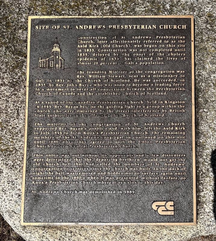
1. Site of St. Andrews Presbyterian Church Marker
Construction of St. Andrews Presbyterian Church, later affectionately referred to as the Auld Kirk (Old Church), was begun on this site in 1833. Construction was not completed until 1835, delayed by the onset of the cholera epidemic of 1834 that claimed the lives of almost 20 percent of Galt's population.
The founding Minister of the congregation was Rev. William Stewart, sent as a missionary to Galt in 1831 by the Church of Scotland. He was succeeded, in 1835, by Rev. John Bayne who was soon to become a leading force in a movement to sever all connections between the Presbyterian Church of Canada and the established Church of Scotland. At a synod of the Canadian Presbyterian Church, held in Kingston in 1844, Rev. Bayne became the guiding light to a group within the church who were disturbed by the direct interference by British State authorities in the affairs of the Church of Scotland.
The majority of the congregation of St. Andrews Church supported Rev. Bayne's position and, with him, left the Auld Kirk in July 1844 to form Knox's Presbyterian Church. The remaining members of the St. Andrews congregation
this page online
This union was not without its opponents and a few dissenters were determined that the “departing brethren” would not get the old church bell that had called the members of St. Andrews' congregation to services since the church was built. In the dark of night the bell was removed and hidden not to surface again until sometime in the 1890's when it was presented without fanfare, to Knox's Presbyterian Church where it remains to this day.
St. Andrews Church was demolished in 1889.
Topics. This historical marker is listed in this topic list: Religion & Religious Structures. A significant historical year for this entry is 1835.
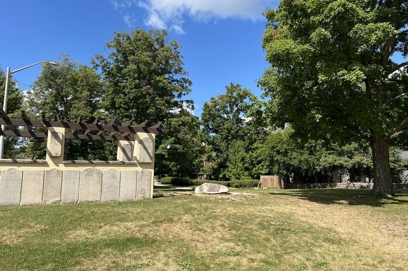
Location. 43° 21.372′ N, 80° 19.253′ W. Marker is in Cambridge, Ontario, in Waterloo Region. It is on St. Andrew’s Street 0.1 kilometers west of George Street, on the right when traveling west. The marker is in St. Andrews Park, affixed to a stone near the Pioneer Pergola. Touch for map. Marker is at or near this postal address: 30 Byng Avenue, Cambridge ON N1S N1S, Canada. Touch for directions.

Regionally,
Photographed by Tim Boyd, August 22, 2025
2. Site of St. Andrews Presbyterian Church Marker
Other nearby markers. At least 8 other markers are within walking distance of this marker: The Pioneer Pergola (here, next to this marker); McDougall Cottage Historic Site (approx. 0.4 kilometers away); Women's Royal Canadian Naval Service Monument (approx. 0.4 kilometers away); Main Street Bridge (approx. half a kilometer away); The Honourable James Young 1835-1913 / L'Honorable James Young, 1835-1913 (approx. half a kilometer away); Former Galt Post Office / L’Ancien Bureau de Poste de Galt (approx. half a kilometer away); Lieutenant Samuel Lewis Honey, VC, DCM, MM (approx. 0.6 kilometers away); Sergeant Frederick Hobson, VC (approx. 0.6 kilometers away). Touch for a list and map of all markers in Cambridge.
Photographed by Tim Boyd, August 27, 2025
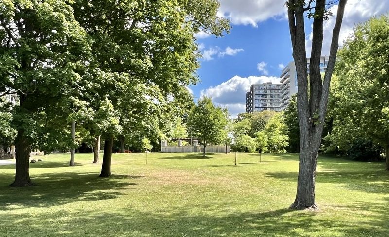
3. St. Andrews Park, 2025
The Pioneer Pergola is at the centre of the photo, the marker is affixed to the stone just to the left of it
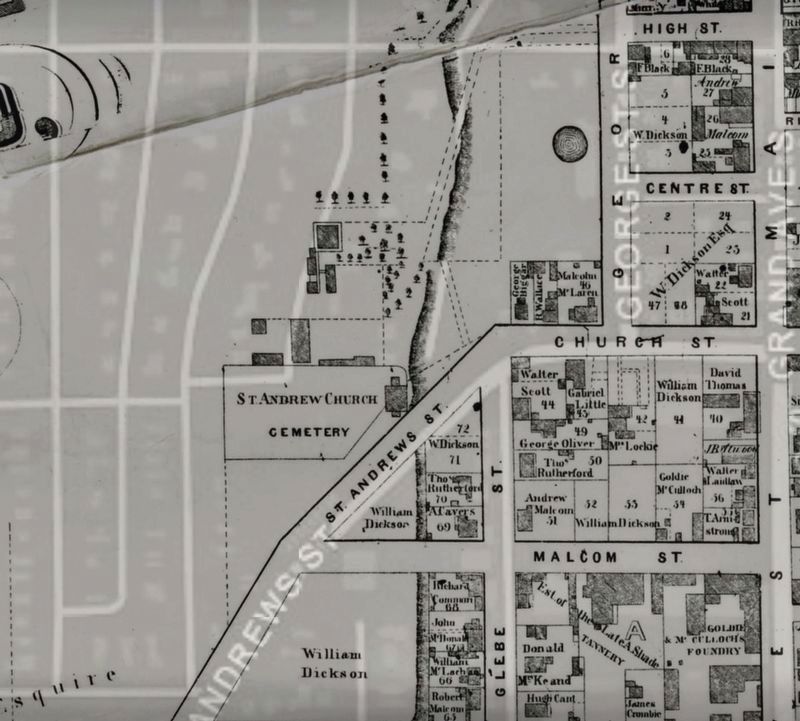
4. St. Andrews Presbyterian Church and Cemetery, 1867
Source: University of Waterloo
Credits. This page was last revised on August 28, 2025. It was originally submitted on August 28, 2025, by Tim Boyd of Hamilton, Ontario. This page has been viewed 87 times since then and 27 times this year. Photos: 1, 2, 3, 4. submitted on August 28, 2025, by Tim Boyd of Hamilton, Ontario. • Andrew Ruppenstein was the editor who published this page.
