Near Terry in Prairie County, Montana — The American West (Mountains)
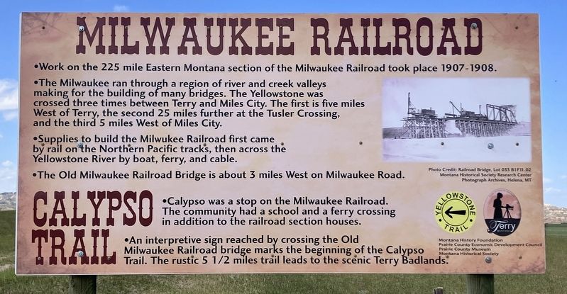
Milwaukee Railroad
Calypso Trail
Photographed by Barry Swackhamer, July 24, 2025
1. Milwaukee Railroad Marker
The Milwaukee ran through a region of river and creek valleys making for the building of many bridges. The Yellowstone was crossed three times between Terry and Miles City. The first is five miles west of Terry, the second 25 miles further at Tusler Creek, and the third 5 miles West of Miles City.
Supplies to build the Milwaukee Railroad first came by rail on the Northern Pacific tracks, then across the Yellowstone River by boat, ferry and cable.
The Old Milwaukee Railroad Bridge is about 3 miles West on Milwaukee Road.
Calypso was a stop on the Milwaukee Railroad. The community had a school and a ferry crossing in addition to the railroad section houses.
An interpretive sign reached by crossing the Old Milwaukee Railroad bridge marks the beginning of the Calypso Trail. The rustic 5 1/2 miles trail leads to the scenic Terry Badlands.
Erected by Montana History Foundation, Prairie County Economic Development Council, Prairie County Museum, Montana Historical Society.
Topics and series. This historical marker
this page online
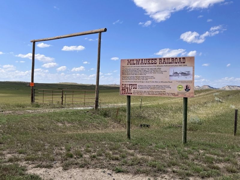
Location. 46° 46.606′ N, 105° 21.279′ W. Marker is near Terry, Montana, in Prairie County. It is at the intersection of West Old Highgway 19 and Milwaukee Road, on the right when traveling south on West Old Highgway 19. Touch for map. Marker is in this post office area: Terry MT 59349, United States of America. Touch for directions.

Regionally, this marker is in andspecifically outheast Montana in Custer Country. It is also in the American Mountain West, in the Lewis & Clark Corridor, on the prairies, on the Great Plains, and specifically on the Northern Plains. Globally, it is in North America, the Western Hemisphere, the Western World, and the Anglosphere. Historically, it finds itself in what was once Rupert’s Land and also the Louisiana Purchase.
Other nearby markers. At least 8 other markers are within 5 miles of this marker, measured as the crow flies: C. W. "Prof" Grandey School (approx. 2.4 miles away); Prairie County
Photographed by Barry Swackhamer, July 24, 2025
2. Milwaukee Railroad Marker
Credits. This page was last revised on August 28, 2025. It was originally submitted on August 28, 2025, by Barry Swackhamer of Brentwood, California. This page has been viewed 153 times since then and 68 times this year. Photos: 1, 2. submitted on August 28, 2025, by Barry Swackhamer of Brentwood, California.
