Hespeler in Cambridge in Waterloo Region, Ontario — Central Canada (North America)
History of the Riverbank
Photographed by Tim Boyd, August 27, 2025
1. History of the Riverbank Marker
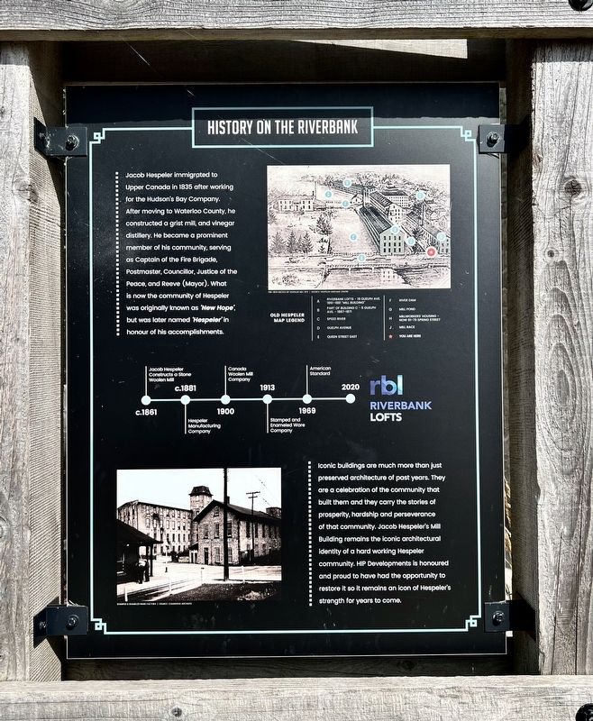
Iconic buildings are much more than just preserved architecture of past years. They are a celebration of the community that built them and they carry the stories of prosperity, hardship and perseverance of that community. Jacob Hespeler's Mill Building remains the iconic architectural identity of a hard working Hespeler community. HIP Developments is honoured and proud to have had the opportunity to restore it so it remains an icon of Hespeler's strength for years to come.
Topics. This historical marker is listed in these topic lists: Industry & Commerce • Settlements & Settlers. A significant historical year for this entry is 1835.
Location. 43° 25.918′ N, 80° 18.661′ W.
this page online

Regionally, this marker is in the Huron-Perth-Waterloo-Wellington Area and in Southwestern Ontario. It is also in Central Canada. Globally, it is in North America, the Western Hemisphere, the Western World, and the Anglosphere. Historically, it finds itself in what was once a British colony, the Viceroyalty of New France, the Haudenosaunee (Iroquois) Confederacy, and Rupert’s Land.
Other nearby markers. At least 8 other markers are within 6 kilometers of this marker, measured as the crow flies: Tannery Street/ Forbes Park Area (about 120 meters away, measured in a direct line); Jacob’s Landing and Hespeler Mill Pond (about 120 meters away); Hespeler Cenotaph (about 120 meters away); First Mennonite Sunday School (approx. 2 kilometers away); Site of the Samuel Bechtel Meeting House and Burial Ground (approx. 2.2 kilometers
Photographed by Tim Boyd, August 27, 2025
2. History of the Riverbank Marker
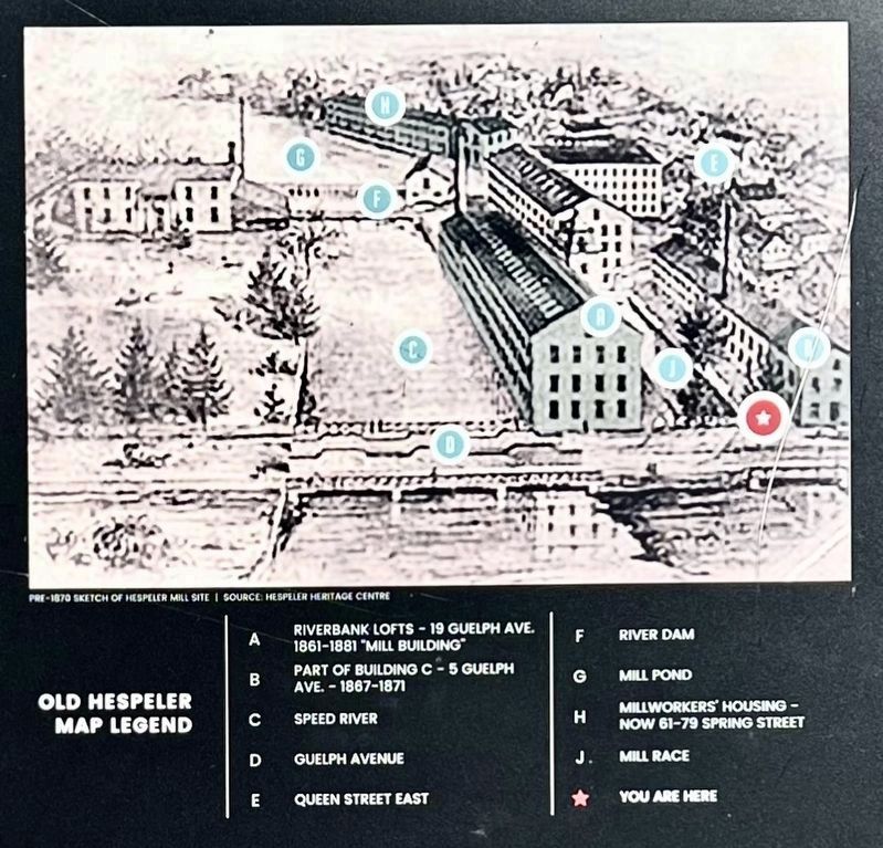
3. History of the Riverbank maker, map and legend detail
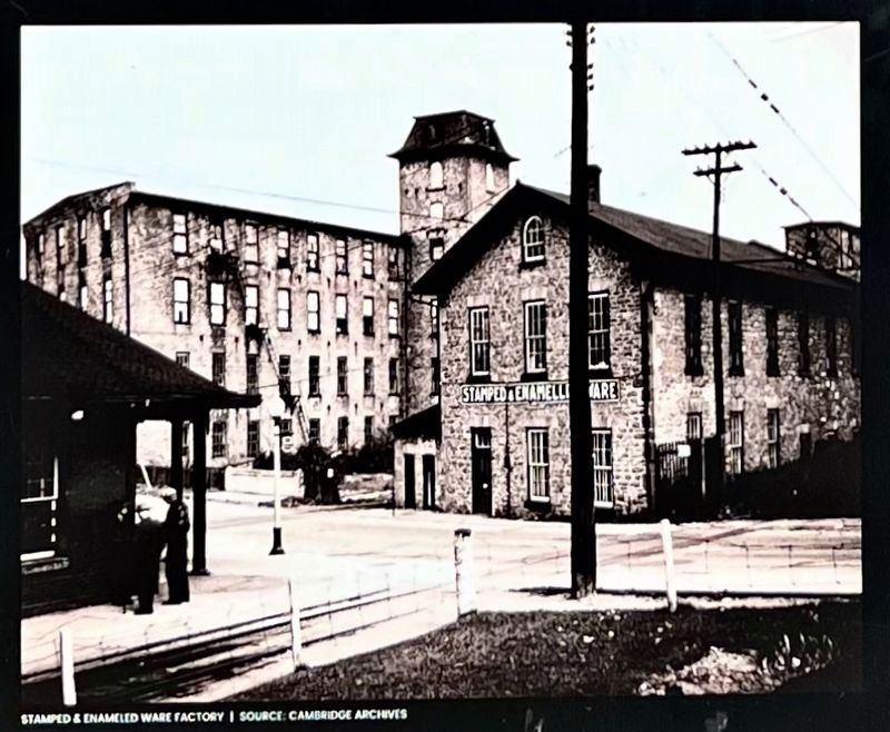
4. History of the Riverbank marker photo and caption detail
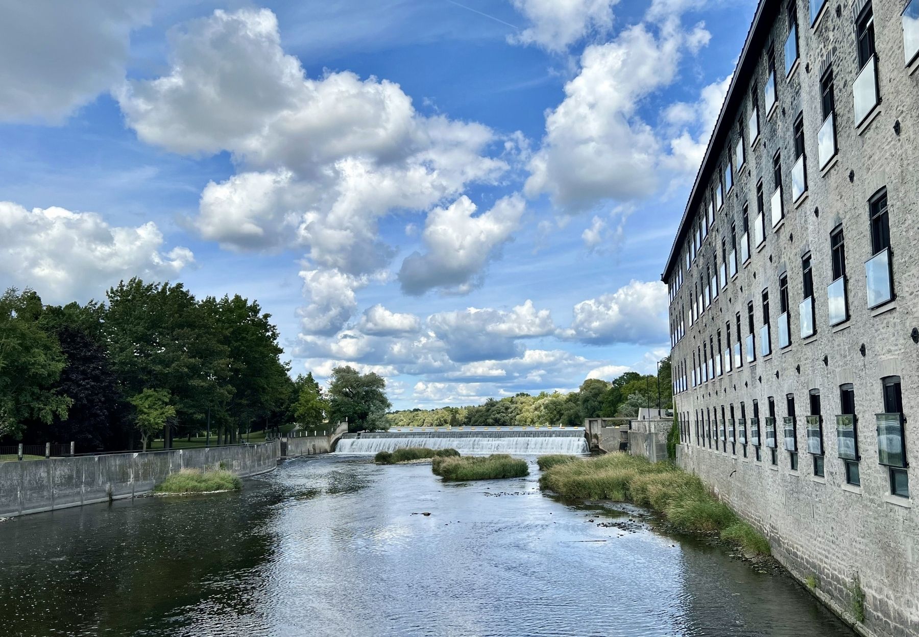
Photographed by Tim Boyd, August 27, 2025
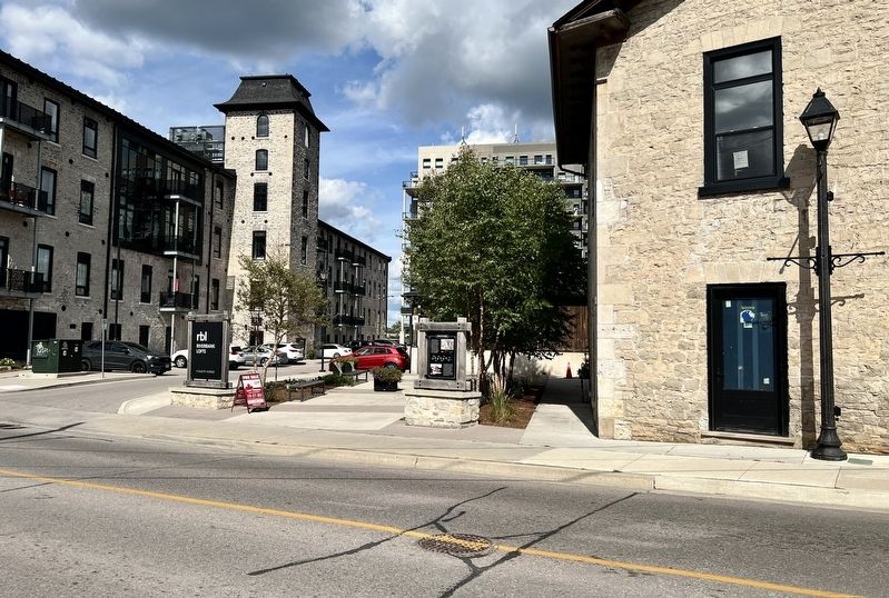
5. The Speed Riverbank in 2025
Credits. This page was last revised on September 8, 2025. It was originally submitted on August 29, 2025, by Tim Boyd of Hamilton, Ontario. This page has been viewed 74 times since then and 23 times this year. Photos: 1, 2, 3, 4, 5. submitted on August 29, 2025, by Tim Boyd of Hamilton, Ontario. • Andrew Ruppenstein was the editor who published this page.
