Near Garrison in McLean County, North Dakota — The American Midwest (Upper Plains)
Buffalo
Photographed by Barry Swackhamer, July 23, 2025
1. Buffalo Marker
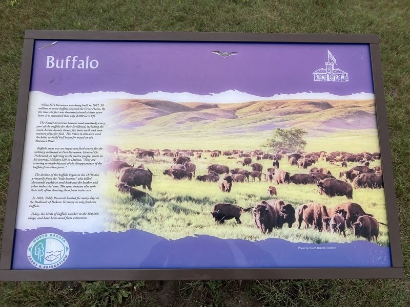
The Native American Indians used essentially every part of the buffalo for their livelihood, including the meat, horns, hooves, bones, fat, hair, teeth and even manure chips for fuel. The tribes in this area used the hides to build bull boats for travel on the Missouri River.
Buffalo meat was an important food source for the military stationed at Fort Stevenson. General De Trobriand, in referring to the native people, wrote in his journal, Military Life in Dakota, "They are starving to death because of the disappearance of the buffalo from these parts."
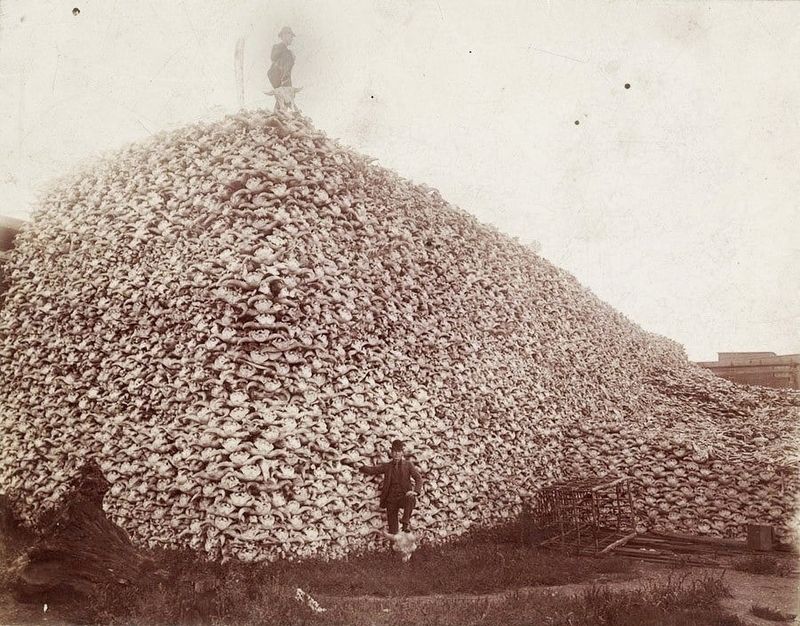
The decline of the buffalo began in the 1870s due primarily from the "hide hunters" who killed thousands weekly to send back east for leather and other industrial uses. The sport hunters also took their toll, often shooting them from train cars.
In 1883, Teddy Roosevelt hunted for many days in the Badlands of Dakota Territory to only find one buffalo.
this page online
Erected by North Dakota Parks & Recreation.
Topics. This historical marker is listed in this topic list: Animals. A significant historical year for this entry is 1883.
Location. 47° 35.255′ N, 101° 25.302′ W. Marker is near Garrison, North Dakota, in McLean County. It can be reached from 41st Avenue NW (County Highway 15) near Scooter Drive. The marker is on a grassy field at the south end of 41st Avenue. Touch for map. Marker is at or near this postal address: 1252A 41st Avenue NW, Garrison ND 58540, United States of America. Touch for directions.

Regionally, this marker is in the Mandan, Hidatsa, and Arikara Nation, in the Standing Rock Sioux Tribe, in the Drift Prairie, and on the Missouri Plateau. It is also in the American Lewis & Clark Corridor, on the prairies, and on the Northern Plains. Globally, it is in North America, the Western Hemisphere, the Western World, and the Anglosphere. Historically, it finds itself in what was once Rupert’s Land and also the Louisiana Purchase.
Other nearby markers. At least 8

Photographed by Barry Swackhamer, July 23, 2025
2. Buffalo Marker

Photographed by Yueru Hao
3. American Bison, Bison bison
Photographed by Unknown
4. The Buffalo Hunters Work
Credits. This page was last revised on August 31, 2025. It was originally submitted on August 31, 2025, by Barry Swackhamer of Brentwood, California. This page has been viewed 84 times since then and 17 times this year. Photos: 1, 2, 3, 4. submitted on August 31, 2025, by Barry Swackhamer of Brentwood, California.
