Benicia in Solano County, California — The American West (Pacific Coastal)
BDES Hall
Photographed by Rover Spotts, August 30, 2025
1. BDES Hall Marker
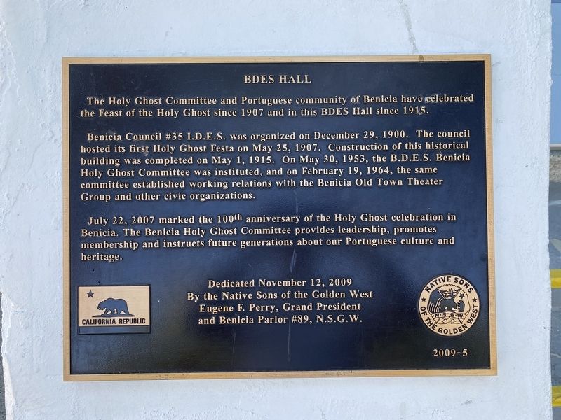
The Holy Ghost Committee and Portuguese community of Benicia have celebrated the Feast of the Holy Ghost since 1907 and in this BDES Hall since 1915.
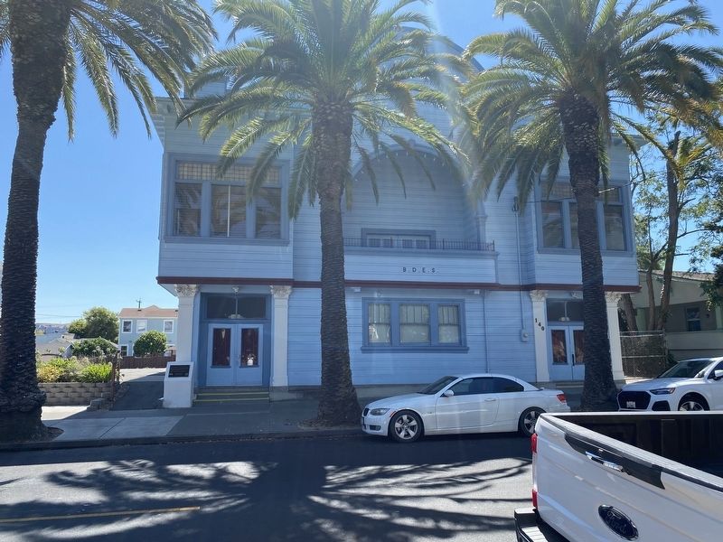
Benicia Council #35 I.D.E.S. was organized on December 29, 1900. The council hosted its first Holy Ghost Festa on May 25, 1907. Construction of this historical building was completed on May 1, 1915. On May 30, 1953, the B.D.E.S. Benicia Holy Ghost Committee was instituted, and on February 19, 1964, the same committee established working relations with the Benicia Old Town Theater Group and other civic organizations.
July 22, 2007 marked the 100th anniversary of the Holy Ghost celebration in Benicia. The Benicia Holy Ghost Committee provides leadership, promotes membership and instructs future generations about our Portuguese culture and heritage.
Dedicated November 12, 2009 by the Native Sons of the Golden West. Eugene F. Perry, Grand President and Benicia Parlor #89, N.S.G.W.
Erected 2009 by Native Sons of the Golden West. (Marker Number 2009-5.)
Topics and series. This historical marker is listed in this topic list: Religion & Religious Structures. In
this page online
Location. 38° 3.146′ N, 122° 9.453′ W. Marker is in Benicia, California, in Solano County. It is on West J Street, on the right when traveling east. Touch for map. Marker is at or near this postal address: 140 W J Street, Benicia CA 94510, United States of America. Touch for directions.

Regionally, this marker is in the San Francisco Bay Area, in the Sacramento Valley, and specifically in the Central Valley. It is also on the American Pacific Coast. Globally, it is in North America, on the Ring of Fire, on the Pacific Rim, in the Western Hemisphere, in the Western World, and in the Anglosphere. Historically, it finds itself in what was once New Spain and also Mexico’s Alta California.
Other nearby markers. At least 8 other markers are within walking distance of this marker: Norman V. Gonsalves, Sr. (here, next to this marker); First Masonic Hall Built in California (a few steps from this marker); 1854 – Saint Paul’s Episcopal Church – 1954 (about 300 feet away, measured in a direct line);
Photographed by Rover Spotts, August 30, 2025
2. BDES Hall
Credits. This page was last revised on September 15, 2025. It was originally submitted on September 1, 2025, by Rover Spotts of San Francisco, California. This page has been viewed 91 times since then and 33 times this year. Photos: 1, 2. submitted on September 1, 2025, by Rover Spotts of San Francisco, California. • Andrew Ruppenstein was the editor who published this page.
