Near Ramsey in Fayette County, Illinois — The American Midwest (Great Lakes)
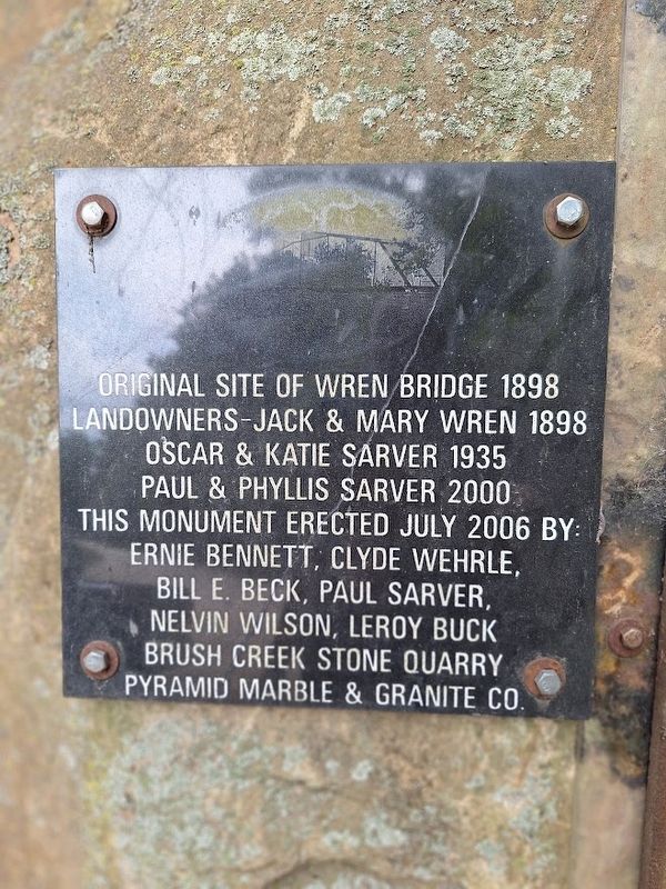
Original Site of Wren Bridge
1898
Photographed by Jason Voigt, August 30, 2025
1. Original Site of Wren Bridge Marker
Landowners - Jack & Mary Wren 1898
Oscar & Katie Sarver 1935
Paul & Phyllis Sarver 2000
Erected 2006.
Topics. This historical marker is listed in this topic list: Bridges & Viaducts. A significant historical year for this entry is 1898.
Location. 39° 7.806′ N, 88° 58.455′ W. Marker is near Ramsey, Illinois, in Fayette County. It is on County Route 1490E south of County Route 2725E, on the right when traveling south. Marker is part of the Wren Bridge monument. Touch for map. Marker is at or near this postal address: 2721 County Rd 1490 E, Ramsey IL 62080, United States of America. Touch for directions.

Regionally, this marker is in Central Illinois. It is also in the American Midwest and in the Corn Belt. Globally, it is in North America, the Western Hemisphere, the Western World, and the Anglosphere. Historically, it finds itself in what was once the territory of the Mississippian Culture and also the Northwest Territory.
Other nearby markers. At least 8 other markers are within 10 miles of this marker, measured as the crow flies: McClanahan Bridge Plaque (here, next to this marker); Veterans Memorial
this page online
Additional commentary.
1. Researching Wren Bridge
Unfortunately I was not able to come up with very much information when researching about the Wren Bridge. I do not know what happened as far as when and why it was torn down, but the Bridge Hunter website pointed out possibly during the late 1970s. When visiting the actual site, you can see old parts of the bridge laying around. The site is a popular hangout, and can be considered a park, even though it is on private property. There are picnic tables, a giant cross that pays tribute to local residents no longer with us, as well as a water wheel that has water from a nearby spring. It is a popular swimming spot as people can go in the Kaskaskia River.
— Submitted September 1, 2025, by Jason Voigt of Glen Carbon, Illinois.
Photographed by Jason Voigt, August 30, 2025
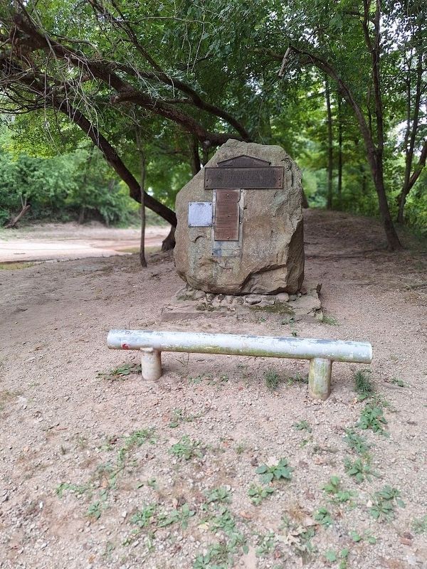
2. Original Site of Wren Bridge Marker
Marker is on a monument, in front of where the bridge formerly was
Photographed by Jason Voigt, August 30, 2025
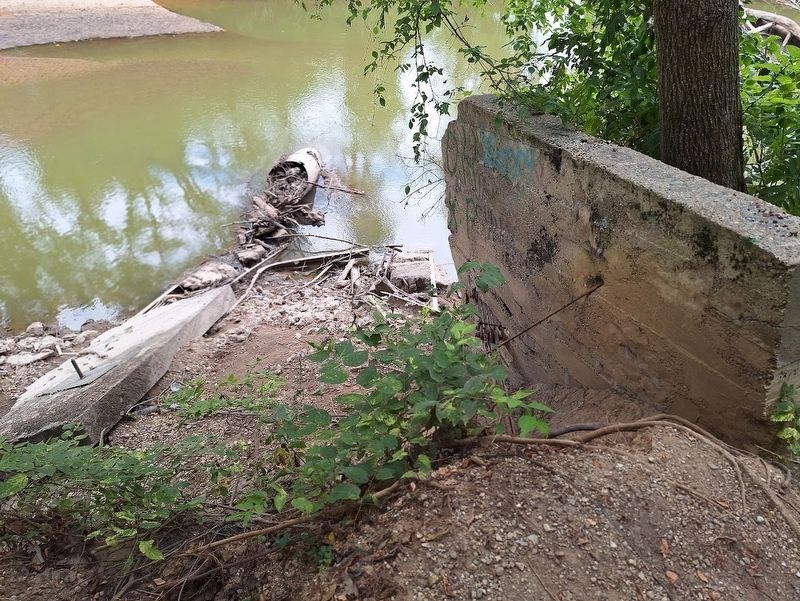
3. Original Site of Wren Bridge Marker
The bridge went over the Kaskaskia River. These are possible parts of the bridge.
Credits. This page was last revised on September 1, 2025. It was originally submitted on September 1, 2025, by Jason Voigt of Glen Carbon, Illinois. This page has been viewed 272 times since then and 163 times this year. Photos: 1, 2, 3. submitted on September 1, 2025, by Jason Voigt of Glen Carbon, Illinois.
