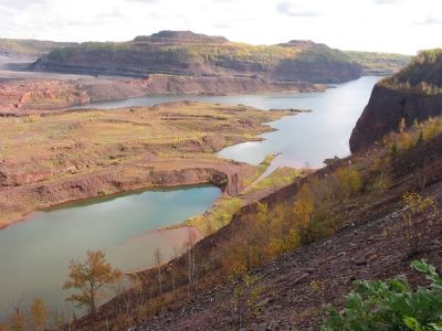
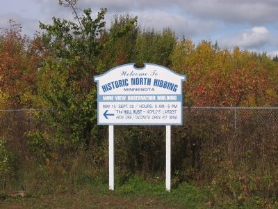
Kelly Lake near Hibbing in Saint Louis County, Minnesota — The American Midwest (Upper Plains)
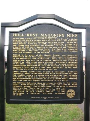
Hull-Rust-Mahoning Mine
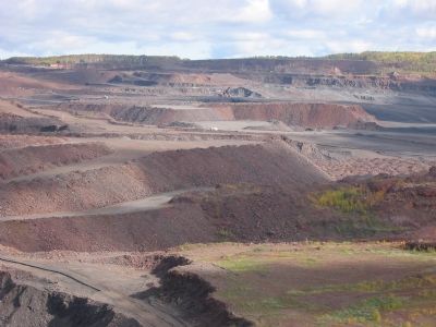
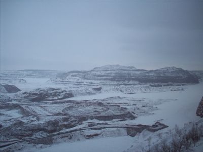
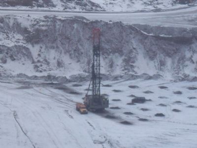
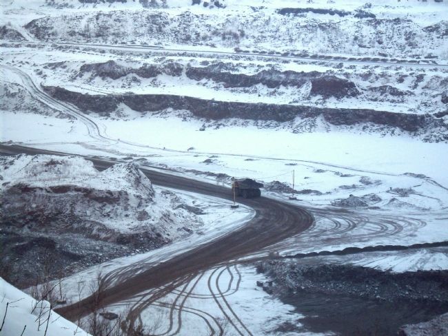
Setting in the midst of the Mesabi Range, the largest of Minnesota’s three iron ore ranges, this mine owed its dominance to its particular iron formations. Here, vast stretches of high-grade, soft ore lay in shallow deposits that could be scooped up with giant steam shovels, machinery perfected at this site. Using the open pit method, mining companies removed huge quantities of iron ore quickly and economically, dumping it into rail cars that were moved out of the mine on tracks circling the slopes of the pit.
Large mining operations required extensive financial resources. Small local developers were soon driven out, and the wealthy ones with names like Rockefeller and Carnegie took over. In 1901 J. P. Morgan consolidated their mining and manufacturing operations as United States Steel, creating what was then the biggest corporation in the world.
The Hull-Rust-Mahoning Mine developed rapidly in the early 1900s, when demand was high for iron and steel to build railroads, bridges, and skyscrapers. In its peak production years during World War I and II, this pit supplied as much as one-fourth of all the iron ore mined in the United States. It was designated a National Historic Landmark in 1966.
Erected 1999 by the Minnesota Historical Society.
Topics and series. This historical marker is listed in these topic lists: Industry & Commerce • Landmarks • Natural Resources. In addition, it is included in the Minnesota Historical Society, and the National Historic Landmarks series lists. A significant historical year for this entry is 1895.
Location. 47° 26.861′ N, 92° 56.806′ W. Marker is near Hibbing, Minnesota, in Saint Louis County. It is in Kelly Lake. Marker can be reached from Greyhound Boulevard/3rd Avenue East, on the left when traveling north. Marker is beyond the mine visitor center/observation building; accessible only when open. Touch for map. Marker is in this post office area: Hibbing MN 55746, United States of America. Touch for directions.
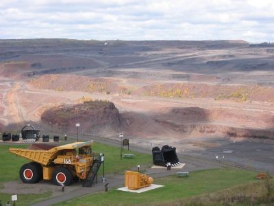
Other nearby markers. At least 8 other markers are within walking distance of this marker. Hill of Three Waters or the Triple Divide (here, next to this marker); P & H 2300 Production Shovel Bucket (a few steps from this marker); Marion 1150 Dragline Bucket (a few steps from this marker); Mining Haul Truck Engine Module (within shouting distance of this marker); 170 & 240 Ton Production Trucks (within shouting distance of this marker); Haulpak Production Truck Tires (within shouting distance of this marker); Underground Mining in the Hibbing Area (within shouting distance of this marker); Hull-Rust Mahoning Mine Pit Overlook (within shouting distance of this marker). Touch for a list and map of all markers in Hibbing.
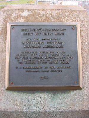
Photographed By Keith L, September 28, 2007
6. Nearby Plaque
Hull-Rust-Mahoning
Open Pit Iron Mine
has been designated a
Registered National Historic Landmark
under the provisions of the
Historic Sites Act of August 21, 1935.
This site possesses exceptional value
in commemorating or illustrating
the history of the United States.
U. S. Department of the Interior -
National Park Service -
1966
Credits. This page was last revised on February 12, 2023. It was originally submitted on October 8, 2007, by Keith L of Wisconsin Rapids, Wisconsin. This page has been viewed 4,827 times since then and 56 times this year. It was the Marker of the Week October 21, 2007. Photos: 1, 2, 3, 4, 5, 6. submitted on October 8, 2007, by Keith L of Wisconsin Rapids, Wisconsin. 7, 8, 9. submitted on February 2, 2008, by Joseph Baker of Hibbing, Minnesota. • J. J. Prats was the editor who published this page.
