Ironton in Lawrence County, Ohio — The American Midwest (Great Lakes)
World War II Memorial
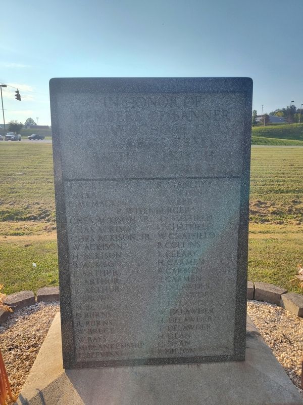
Photographed by Craig Doda, August 16, 2025
1. Storms Creek Baptist Church Veterans Memorial Marker
members of Banner
Sunday School Class
of Storms Creek
Baptist Church
in World War II
L. Adkins • P. Haas • L. McMacrt • R. Stanley • W. Upton • E. Webb • P. Wisenberger • Ches. Ackison Sr. • Chas. Ackison • Ches. Ackison Jr. • W. Ackison • H. Ackison • R. Ackison • E. Arthur • G. Arthur • B. Arthur • C. Brown • M. Boacc • D. Burns • R. Burns • W. Bruce • W. Bays • M. Blankenship • L. Blevins • R. Stanley • W. Tipton • M. Webb • M. Chatfield • G. Chatfield • W. Chatfield • B. Collins • L. Cleary • H. Carmen • R. Carmen • J. Carmen • D. Delawder • L. Delawder • W. Delawder • H. Delawder • T. Delawder • H. Dean • G. Dean • R. Dillion
C. Eaches • K. Eaches • L. Faulkner • C. Gustin • J. Gustin • H. Gustin • E. Gannon • G. Hunter, M.D. • R. Haas • L. Haas • R. Hass • D. Heaberlin • J. Heaberlin • E. Hensley • C. Hankins • W. Jenkins • R. Jenkins • E. Ketterer • O. Kinstler • R. Kinstler • T. Kinstler • C. Layne • C. Lewis • C. McDonie • W. McDonie • R. McComas • O. McComas • O. McClaskey • F. McClain • R. McClain • Theo. McClain • J. McKnight • W. Moore • H. Malone, Jr. • J. Monte • C. Nance • F. Neal • A.
this page online
Topics. This memorial is listed in these topic lists: Religion & Religious Structures • War, World II.
Location. 38° 32.476′ N, 82° 40.372′ W. Memorial is in Ironton, Ohio, in Lawrence County. It is at the intersection of Nixon Hill Road and Corryville Road, on the right when traveling west on Nixon Hill Road. Touch for map. Memorial is at or near this postal address: 61 Nixon Hill Rd, Ironton OH 45638, United States of America. Touch for directions.

Regionally, this memorial is in the Kyova Tri-State Region. It is also in the American Midwest, in the Ohio River Valley, in Appalachia, and specifically in Northern Appalachia. Globally, it is in North America, the Western Hemisphere, the Western World, and the Anglosphere. Historically, it finds itself in what was once
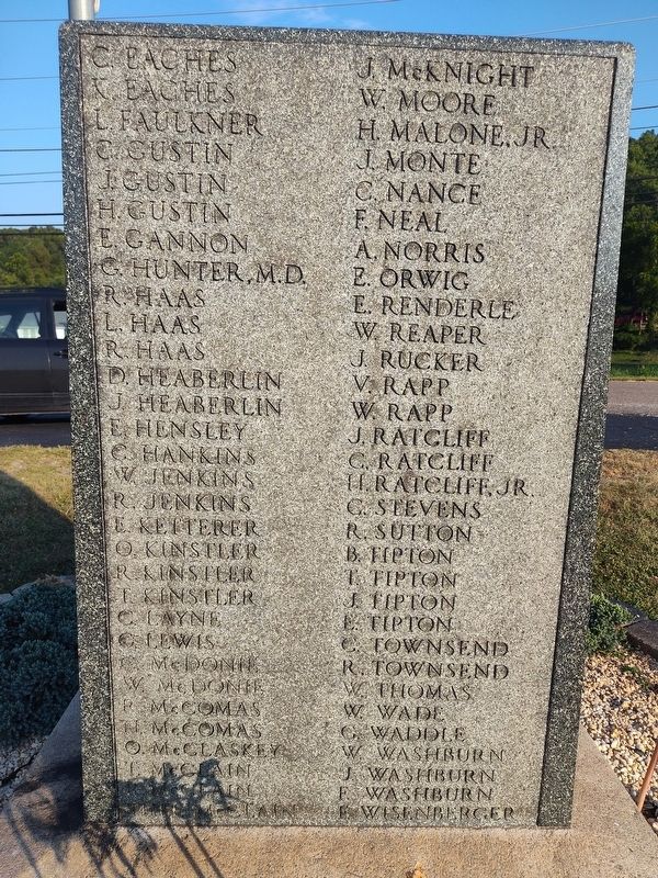
Photographed by Craig Doda, August 16, 2025
2. Storms Creek Baptist Church Veterans Memorial
Other nearby markers. At least 8 other markers are within walking distance of this marker: Historic State Route 75 (about 700 feet away, measured in a direct line); Commerce on the Big River (approx. 0.4 miles away); Tourism Along the Byway (approx. 0.4 miles away); Did You Know? (approx. 0.4 miles away); John Campbell (approx. 0.4 miles away); There is Much to See on the Ohio River Scenic Byway (approx. 0.4 miles away); Hanging Rock Iron Furnace Region (approx. 0.4 miles away); Ironton and the Ohio River (approx. 0.4 miles away). Touch for a list and map of all markers in Ironton.
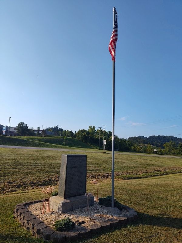
Photographed by Craig Doda, August 16, 2025
3. Storms Creek Baptist Church Veterans Memorial
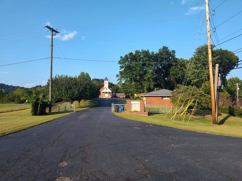
Photographed by Craig Doda, August 16, 2025
4. Storms Creek Baptist Church
Credits. This page was last revised on September 25, 2025. It was originally submitted on September 3, 2025, by Craig Doda of Napoleon, Ohio. This page has been viewed 47 times since then and 23 times this year. Photos: 1, 2, 3, 4. submitted on September 3, 2025, by Craig Doda of Napoleon, Ohio. • Devry Becker Jones was the editor who published this page.
