Vandalia in Fayette County, Illinois — The American Midwest (Great Lakes)
Illinois Central Railroad River Walk
Photographed by Jason Voigt
1. Illinois Central Railroad River Walk Marker
(these are seven different markers in which the history of the Illinois Central Railroad is told. They are all spread out from each other.)
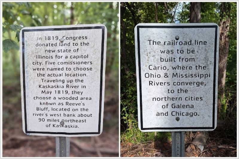
•In 1819, Congress donated land to the new state of Illinois for a capitol city. Five commissioners were named to choose the actual location. Traveling up the Kaskaskia River in May 1819, they choose a wooded area known as Reeve's Bluff, located on the river's west bank about 90 miles northeast of Kaskaskia.
•The railroad line was to be built from Cairo, where the Ohio & Mississippi Rivers converge, to the northern cities of Galena and Chicago.
•British & Dutch investors supplied much of the capital required for construction. As many as 10,000 workers at a time engaged in the 4 year project.
•In 1851 the Illinois Central Railroad became the first land grant railroad in the United States when the State of Illinois gave 2.6 million acres of federal land to the railroad.
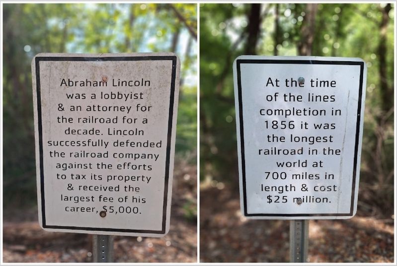
•Abraham Lincoln was a lobbyist & an attorney for the railroad for a decade. Lincoln successfully defended the railroad company against the efforts to tax its property & received the largest fee of his career,
this page online
•At the time of the lines completion in 1856 it was the longest railroad in the world at 700 miles in length & cost $25 million.
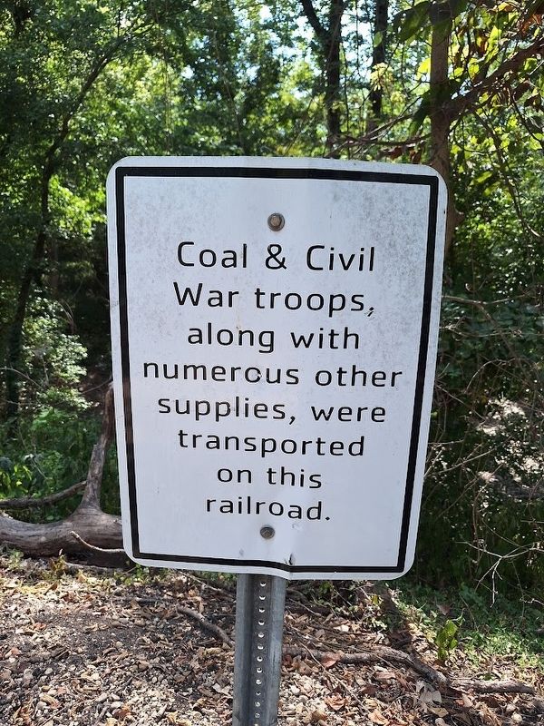
•Coal & Civil War troops, along with numerous other supplies, were transported on this railroad.
Topics. This historical marker is listed in this topic list: Railroads & Streetcars. A significant historical month for this entry is May 1819.
Location. 38° 57.435′ N, 89° 5.688′ W. Marker is in Vandalia, Illinois, in Fayette County. It can be reached from St. Louis Street west of South 4th Street. Markers are located on a bike/walking trail and are spread out for nearly half a mile. Touch for map. Marker is at or near this postal address: 514 S 4th St, Vandalia IL 62471, United States of America. Touch for directions.

Regionally, this marker is in Central Illinois. It is also in the American Midwest and in the Corn Belt. Globally, it is in North America, the Western Hemisphere, the Western World, and the Anglosphere. Historically, it finds itself in what was once the territory of the Mississippian Culture and also the Northwest Territory.
Other nearby markers. At least 8 other markers are within

Photographed by Jason Voigt
2. Illinois Central Railroad River Walk Marker
Also see . . . Illinois Central Railroad River Walk. From the City of Vandalia's website. (Submitted on September 3, 2025, by Jason Voigt of Glen Carbon, Illinois.)
Photographed by Jason Voigt
3. Illinois Central Railroad River Walk Marker
Photographed by Jason Voigt, August 30, 2025
4. Illinois Central Railroad River Walk Marker
Photographed by Jason Voigt, August 30, 2025
5. Illinois Central Railroad River Walk Marker
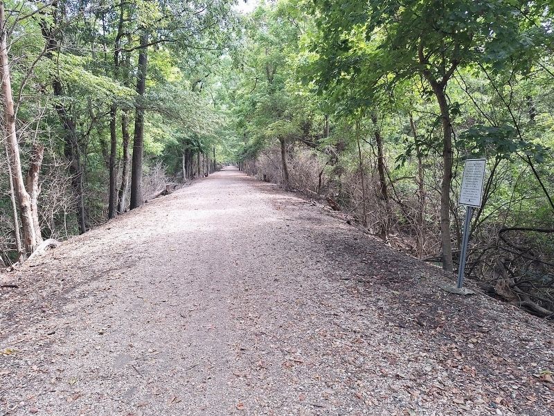
this is a wide view of the first marker of the seven. They are all spread out throughout the half-mile trail.
Credits. This page was last revised on September 3, 2025. It was originally submitted on September 3, 2025, by Jason Voigt of Glen Carbon, Illinois. This page has been viewed 116 times since then and 35 times this year. Photos: 1, 2, 3, 4, 5. submitted on September 3, 2025, by Jason Voigt of Glen Carbon, Illinois.
