Falls Church, Virginia — The American South (Mid-Atlantic)
Taylor’s Tavern
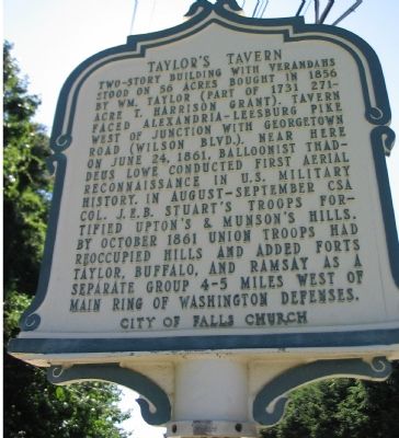
Photographed by Craig Swain, September 12, 2007
1. Front Side of Marker
Two-story building with verandahs stood on 56 acres bought in 1856 by Wm. Taylor (part of 1731 271-acre T. Harrison grant). Tavern faced Alexandria-Leesburg Pike west of Junction with Georgetown Road (Wilson Blvd.). Near here on June 24, 1861, balloonist Thaddeus Lowe conducted first aerial reconnaissance in U.S. military history. In August-September CSA Col. J.E.B. Stuart's troops fortified Upton's & Munson's Hills. By October 1861 Union troops had reoccupied hills and added forts Taylor, Buffalo, and Ramsay as a separate group 4-5 miles west of main ring of Washington defenses.
Erected by City of Falls Church Historical Commission.
Topics and series. This historical marker is listed in these topic lists: Air & Space • Architecture • Industry & Commerce • War, US Civil. In addition, it is included in the Defenses of Washington, and the Virginia, City of Falls Church series lists. A significant historical date for this entry is June 24, 1861.
Location. 38° 52.523′ N, 77° 9.474′ W. Marker is in Falls Church, Virginia. It is on North Roosevelt Street just north of Ridge Place, on the right when traveling north. Located
this page online

Regionally, this marker is in the Washington Metropolitan Area and in Northern Virginia. It is also in the American South, specifically in the Upper South, and in the Mid-Atlantic. Globally, it is in North America, the Western Hemisphere, the Western World, and the Anglosphere. Historically, it finds itself in what was once the territory of the Mississippian Culture, one of the original Thirteen Colonies, one of the Confederate States of America, and the Antebellum South.
Other nearby markers. At least 8 other markers are within walking distance of this marker: Falls Church (here, next to this marker); Fairfax Chapel (within shouting distance of this marker); a different marker also named Taylor’s Tavern (about 300 feet away, measured in a direct line); Tallwood (approx. 0.2 miles away); Vietnamese Immigrants in Northern Virginia (approx. ¼ mile away); Dulin Methodist Church (approx. 0.3 miles
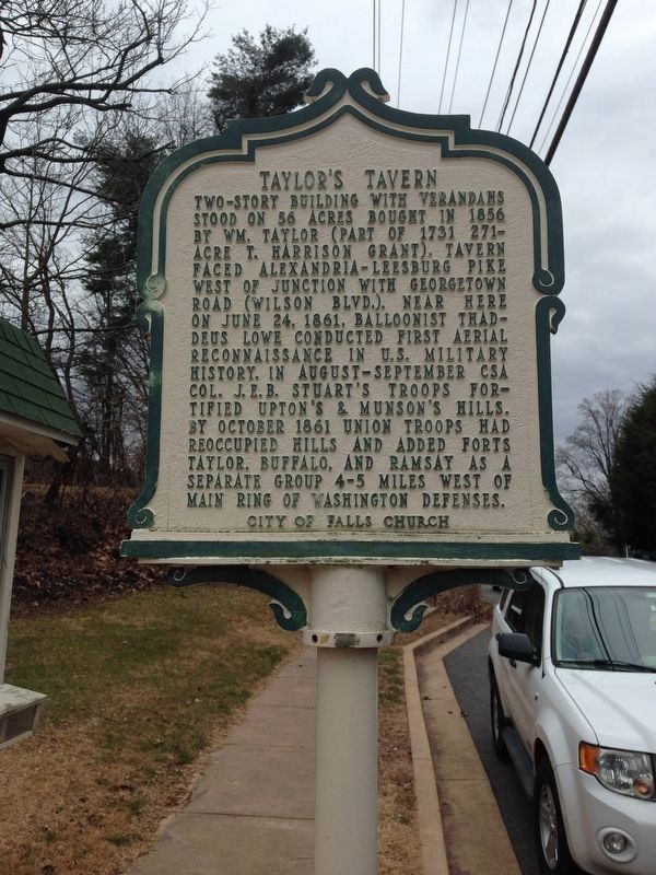
Photographed by Brandon D Cross, February 25, 2015
2. Taylor’s Tavern Marker
More about this marker. The back side of the marker displays a Matthew Brady photograph of Taylor's Tavern as it looked in the Civil War.
Also see . . . Taylor's Tavern. Wikipedia entry (Submitted on August 10, 2024, by Larry Gertner of New York, New York.)
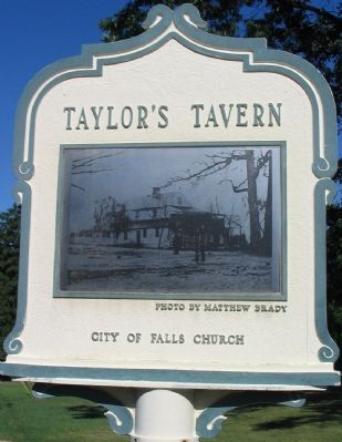
Photographed by Craig Swain, September 12, 2007
3. Back Side of Marker
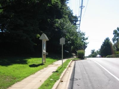
Photographed by Craig Swain, September 12, 2007
4. City of Fairfax and Civil War Trails Markers at the Entrance to Fort Taylor Park
Credits. This page was last revised on August 21, 2024. It was originally submitted on October 8, 2007, by Craig Swain of Leesburg, Virginia. This page has been viewed 3,508 times since then and 80 times this year. Photos: 1. submitted on October 8, 2007, by Craig Swain of Leesburg, Virginia. 2. submitted on November 18, 2016, by Brandon D Cross of Flagler Beach, Florida. 3, 4. submitted on October 8, 2007, by Craig Swain of Leesburg, Virginia.
