Niagara Falls in Niagara Region, Ontario — Central Canada (North America)
The British Defense
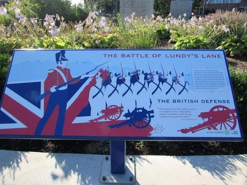
The Battle of Lundy’s Lane
Photographed by Bill Coughlin, September 19, 2019
1. The British Defense Marker
In the early evening of July 25th, 1814, the British commander, Lt. General Gordon Drummond stood on this hilltop. Having just received intelligence that an American force was marching northward in this direction along the Portage Road, he realized that the area on the south side of Lundy’s Lane, marked today by the tall monument, would make an excellent defensive position. Accordingly, he set up his artillery pieces (two 24-pounders, two 6-pounders and a 5½ inch howitzer) and deployed his troops (initially 2000 men with later reinforcements of over 1700) in a wide arc to the right and left of the guns.
“The enemy had got their artillery posted on a height in a very commanding position, where they could rake our columns in any part of the plain.”
Colonel James Miller, US Army
Erected by City of Niagara Falls.
Topics. This historical marker is listed in this topic list: War of 1812. A significant historical date for this entry is July 25, 1814.
Location. 43° 5.391′ N, 79° 5.773′ W. Marker is in Niagara Falls, Ontario, in Niagara Region. It can be reached from Lundy's Lane, on the right when traveling west. The marker is within
this page online

Regionally, this marker is on Ontario’s Golden Horseshoe and in Niagara Canada. It is also in Central Canada. Globally, it is in North America, on the Great Lakes, in the Western Hemisphere, in the Western World, and in the Anglosphere. Historically, it finds itself in what was once a British colony, the Viceroyalty of New France, the Haudenosaunee (Iroquois) Confederacy, and Rupert’s Land.
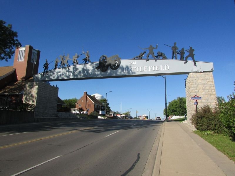
Other nearby markers. At least 8 other markers are within walking distance of this marker: Battlefield Tourism (here, next to this marker); Americans Withdraw (here, next to this marker); Battle Ground Hotel (here, next to this marker); Bicentennial of the Battle of Lundy’s Lane (a few steps from this marker); War of 1812 (within shouting distance of this marker); Fralick’s Tavern 1836 (within shouting distance of this marker); Lundy’s Lane Battlefield Gateway (within shouting distance of this marker);
Photographed by Bill Coughlin, September 19, 2019
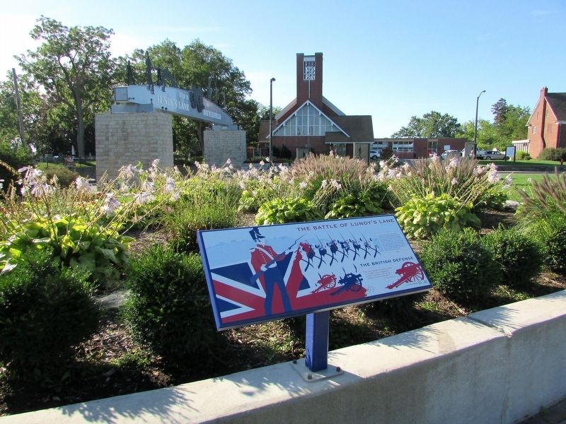
2. The British Defense Marker
More about this marker. The background of the marker contains images of a British flag with a soldier and artillery pieces.
Related markers. Click here for a list of markers that are related to this marker. These markers follow the story of the Battle of Lundy's Lane.
Also see . . . Battle of Lundy's Lane. Canadian Encyclopedia website entry (Submitted on March 7, 2023, by Larry Gertner of New York, New York.)
Photographed by Bill Coughlin, September 19, 2019
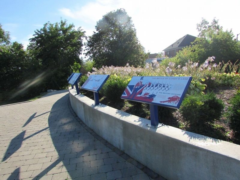
3. Marker in Lundy’s Lane Battlefield Park
Photographed by Bill Coughlin, September 19, 2019
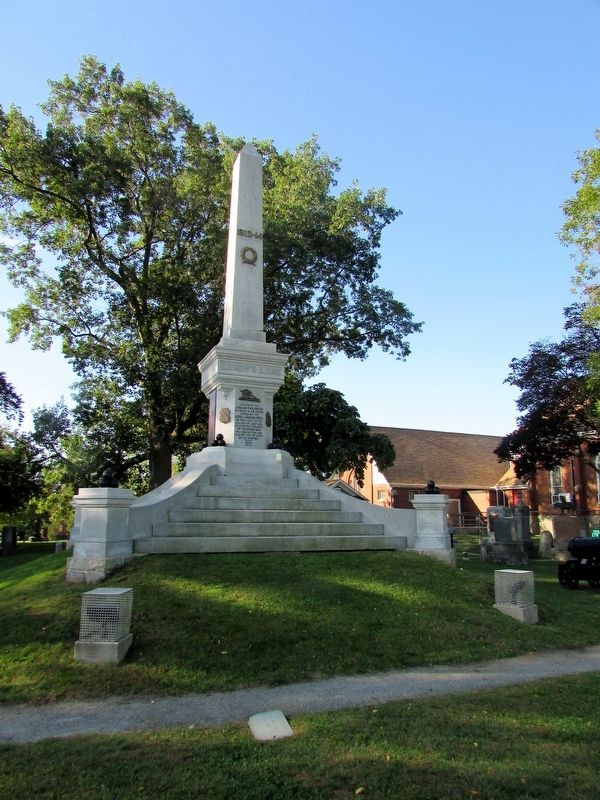
4. British Defensive Position
As mentioned on the marker, this monument marks the position of the British artillery during the battle. It is located across Lundy's Lane in Drummond Hill Cemetery.
Photographed by Bill Coughlin, September 19, 2019
5. Lundy’s Lane Battlefield Park
Credits. This page was last revised on October 5, 2025. It was originally submitted on September 21, 2019, by Bill Coughlin of Woodland Park, New Jersey. This page has been viewed 317 times since then and 20 times this year. Last updated on September 6, 2025, by Kevin Westell of St. Catharines, Ontario. Photos: 1, 2, 3, 4, 5. submitted on September 21, 2019, by Bill Coughlin of Woodland Park, New Jersey. • Andrew Ruppenstein was the editor who published this page.
