Niagara Falls in Niagara Region, Ontario — Central Canada (North America)
Battlefield Tourism
Photographed by Bill Coughlin, September 19, 2019
1. Battlefield Tourism Marker
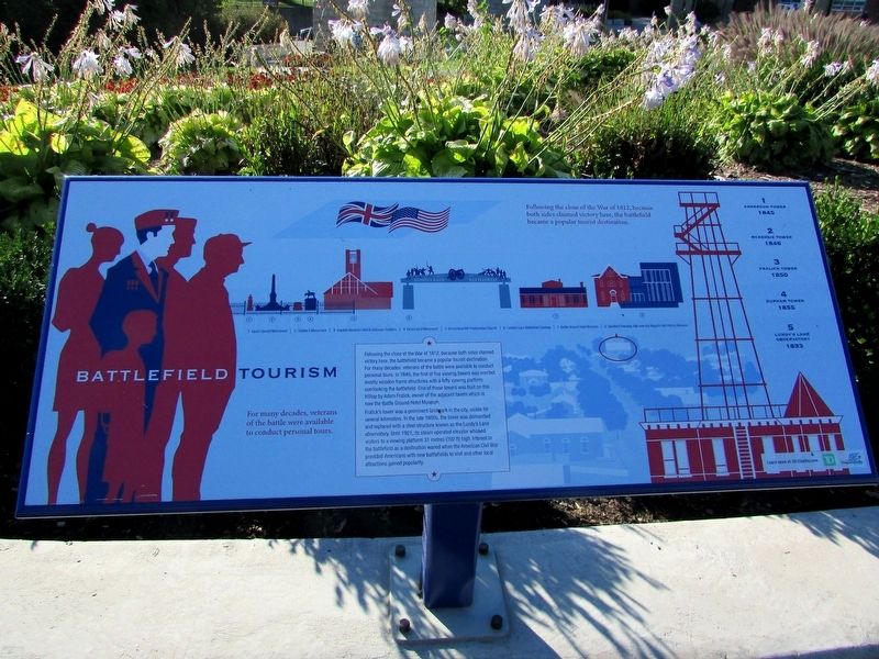
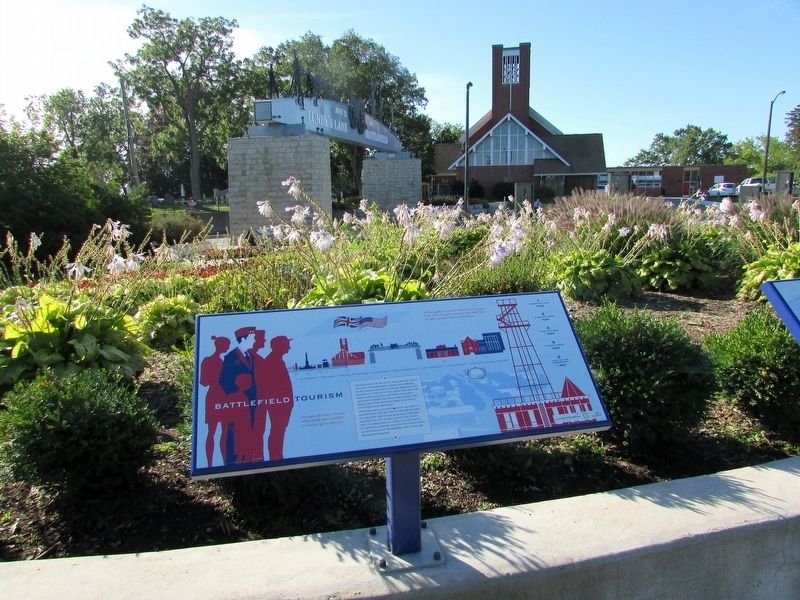
Following the close of the War of 1812, because both sides claimed victory here, the battlefield became a popular tourist destination. For many decades, veterans of the battle were available to conduct personal tours. In 1845, the first of five viewing towers was erected, mostly wooden frame structures with a lofty viewing platform overlooking the battlefield. One of these towers were built on this hilltop by Adam Fralick, owner of the adjacent tavern which is now the Battle Ground Hotel Museum.
Fralick’s tower was a prominent landmark in the city, visible for several kilometers. In the late 1800s, the tower was dismantled and replaced with a steel structure known as the Lundy’s Lane observatory. Until 1921, its steam operated elevator whisked visitors to a viewing platform 31 metres (102 ft) high. Interest in the battlefield as a destination waned when the American Civil War provided Americans with new battlefields to visit and other local attractions gained popularity.
Erected by City of Niagara Falls.
Topics. This historical marker is listed in these topic lists: Education • Entertainment • Industry & Commerce
this page online
Location. 43° 5.391′ N, 79° 5.772′ W. Marker is in Niagara Falls, Ontario, in Niagara Region. It can be reached from Lundy's Lane, on the right when traveling west. The marker is within Battlefield Park, 40 metres from the road, on the north edge of a large-ish flower garden. Touch for map. Marker is at or near this postal address: 6151 Lundy's Lane, Niagara Falls ON L2G 1T4, Canada. Touch for directions.

Regionally, this marker is on Ontario’s Golden Horseshoe and in Niagara Canada. It is also in Central Canada. Globally, it is in North America, on the Great Lakes, in the Western Hemisphere, in the Western World, and in the Anglosphere. Historically, it finds itself in what was once a British colony, the Viceroyalty of New France, the Haudenosaunee (Iroquois) Confederacy, and Rupert’s Land.
Other nearby markers. At least 8 other markers are within walking distance of this marker: The British Defense (here, next to this marker); Americans Withdraw (here, next to this marker); Battle Ground Hotel (here, next to this marker); Bicentennial of the Battle of Lundy’s Lane
Photographed by Bill Coughlin, September 19, 2019
2. Battlefield Tourism Marker
More about this marker. An image of a viewing tower appears on the right side of the marker. Next to this is a list of the different towers that once stood nearby. These include: 1) Anderson Tower 1845; 2) McKenzie Tower 1846; 3) Fralick Tower 1850; 4) Durham Tower 1855; and 5) Lundy’s Lane Observatory 1893.
Related markers. Click here for a list of markers that are related to this marker. These markers follow the story of the Battle of Lundy's Lane.
Photographed by Bill Coughlin, September 19, 2019
3. Markers in Lundy’s Lane Battlefield Park
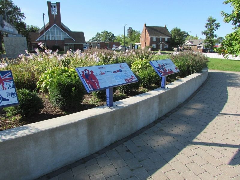
Several markers can be found at this location. The Battlefield Tourism markeris the one in the middle in the photo.
Photographed by Bill Coughlin, September 19, 2019
4. Battle Ground Hotel (Fralick's Tavern)
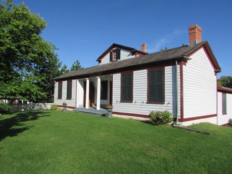
One of the viewing towers mentioned on the marker was located next to this hotel.
Credits. This page was last revised on October 7, 2025. It was originally submitted on September 21, 2019, by Bill Coughlin of Woodland Park, New Jersey. This page has been viewed 352 times since then and 21 times this year. Last updated on September 6, 2025, by Kevin Westell of St. Catharines, Ontario. Photos: 1, 2, 3, 4. submitted on September 21, 2019, by Bill Coughlin of Woodland Park, New Jersey. • Devry Becker Jones was the editor who published this page.
