Marker Logo
THE HISTORICAL
MARKER DATABASE
“Bite-Size Bits of Local, National, and Global History”
Riverton in Fremont County, Wyoming — The American West (Mountains)
 

Gas Hills- Crooks Gap Uranium Mining District
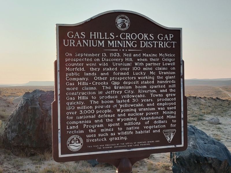
 
 
Gas Hills- Crooks Gap Uranium Mining District Marker image. Click for full size.
Photographed by Jimmy Emerson, September 6, 2025
1. Gas Hills- Crooks Gap Uranium Mining District Marker
Inscription. On September 13, 1953, Neil and Maxine McNeice prospected on Discovery Hill, when their Geiger counter went wild. Uranium! With partner Lowell Morfeld, they staked over 100 mine claims on public lands and formed Lucky Mc Uranium Company. Other prospectors working the giant Gas Hills Crooks Qap deposit staked hundreds more claims. The uranium boom sparked mill construction in Jeffrey City, Riverton, and the Gas Hills to produce yellowcake. Towns grew quickly. The boom lasted 30 years, produced 150 million pounds of yellowcake, and employed over 3,000 people. Wyoming uranium was used for national defense and nuclear power. Mining companies and the Wyoming Abandoned Mine Land Program spent millions of dollars reclaim the mines to native vegetation for uses such as wildlife habitat and livestock grazing.

This sign was provided by the office of surface mining and The Wyoming Abandoned Mine Land Program
 
Erected by Office of Surface Mining and Wyoming Abandoned Mine Land Program.
 
Topics. This historical marker is listed in these topic lists: ExplorationIndustry & Commerce. A significant historical year for this entry is 1953.
 
Location. 42° 48.628′ N,
Paid Advertisement
Click or scan to see
this page online
107° 37.033′ W. Marker is in Riverton, Wyoming, in Fremont County. It is on Dry Creek Road near Wyoming State Highway (Route 136), on the right when traveling north. Touch for map. Marker is in this post office area: Riverton WY 82501, United States of America. Touch for directions.

Regionally, this marker is in Wind River Country. It is also in the American Mountain West. Globally, it is in North America, the Rocky Mountains, the Western Hemisphere, the Western World, and the Anglosphere.

Other nearby markers. At least 2 other markers are within walking distance of this marker: The Yellowcake Boom (here, next to this marker); The Rise and Fall of Wyoming's Yellowcake Industry Gas Hills and Crooks Gap Uranium Districts (a few steps from this marker).
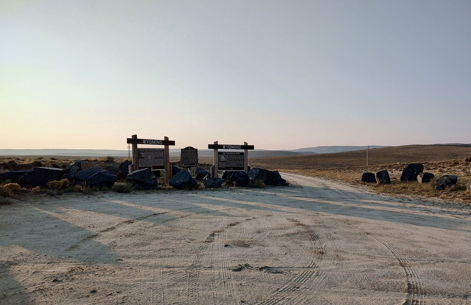
 
Gas Hills- Crooks Gap Uranium Mining District Marker image. Click for full size.
Photographed by Jimmy Emerson, September 6, 2025
2. Gas Hills- Crooks Gap Uranium Mining District Marker
 
 
Credits. This page was last revised on September 21, 2025. It was originally submitted on September 6, 2025, by Jimmy Emerson of Dalton, Georgia. This page has been viewed 91 times since then and 32 times this year. Photos:   1. submitted on September 6, 2025, by Jimmy Emerson of Dalton, Georgia.   2. submitted on September 16, 2025, by Jimmy Emerson of Dalton, Georgia. • Andrew Ruppenstein was the editor who published this page.

m=283791

CeraNet Cloud Computing sponsors the Historical Marker Database.
This website earns income from purchases you make after using our links to Amazon.com. We appreciate your support.
Paid Advertisement
Sep. 7, 2026
