Jeffery City in Fremont County, Wyoming — The American West (Mountains)
The Yellowcake Boom
Photographed by Jimmy Emerson, September 6, 2025
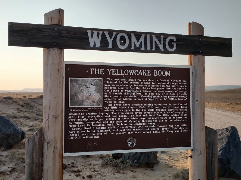
1. The Yellowcake Boom Marker
The post-WWII quest for uranium in Central Wyoming was triggered by the sudden demand for yellowcake-processed uranium-primarily for national defense in the early years, but later used to fuel the 104 nuclear power plants in the U.S. One pound of yellowcake produces the same amount of energy as 31 barrels (1,302 gallons) of fuel oil or 10 tons of coal. Since production started, Wyoming uranium has provided energy equal to 5.9 billion barrels of fuel oil or 1.9 billion tons of Wyoming coal.
The photo shows uranium mining operations in the Central Gas Hills circa August 1980. This was one of three large mining areas open in the Gas Hills Uranium District during Wyoming's uranium heyday. The area shown covers several square miles of deep pits, spoil piles, stockpiles, and haul roads. The East and West Gas Hills mining areas were equally as large. Closure of these mines required many years of reclamation by mining companies and the state of Wyoming through the use of the Abandoned Mine Land Reclamation Fund. Reclamation continues today.
County Road 5 leading north from Jeffrey City extends through the Gas
this page online
Erected by Wyoming Historic Mine Trail.
Topics. This historical marker is listed in these topic lists: Exploration • Industry & Commerce. A significant historical month for this entry is August 1980.
Location. 42° 48.628′ N, 107° 37.035′ W. Marker is in Jeffery City, Wyoming, in Fremont County. It is on Dry Creek Road 0.1 miles north of Wyoming State Highway 136 (Route 136), on the right when traveling north. Touch for map. Touch for directions.

Regionally, this marker is in Wind River Country. It is also in the American Mountain West. Globally, it is in North America, the Rocky Mountains, the Western Hemisphere, the Western World, and the Anglosphere.
Other nearby markers. At least 2 other markers are within walking distance of this marker: Gas Hills- Crooks Gap Uranium Mining District (here, next to this marker); The Rise and Fall of Wyoming's Yellowcake Industry Gas Hills and Crooks Gap Uranium Districts (a few steps from this marker).
Photographed by Jimmy Emerson, September 6, 2025
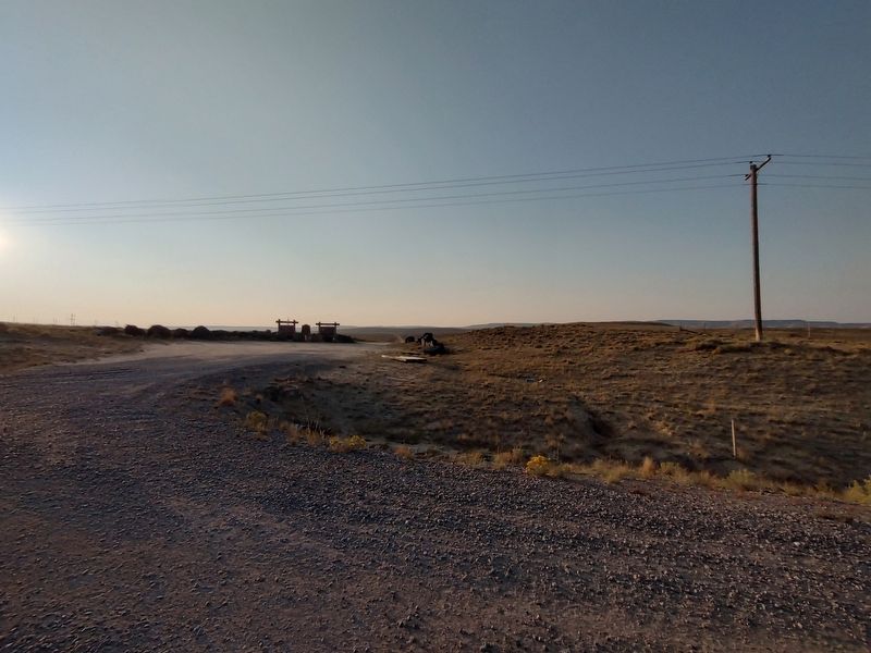
2. The Yellowcake Boom Marker
Credits. This page was last revised on September 21, 2025. It was originally submitted on September 6, 2025, by Jimmy Emerson of Dalton, Georgia. This page has been viewed 70 times since then and 31 times this year. Photos: 1. submitted on September 6, 2025, by Jimmy Emerson of Dalton, Georgia. 2. submitted on September 16, 2025, by Jimmy Emerson of Dalton, Georgia. • Andrew Ruppenstein was the editor who published this page.
