Arcade in Wyoming County, New York — The American Northeast (Mid-Atlantic)
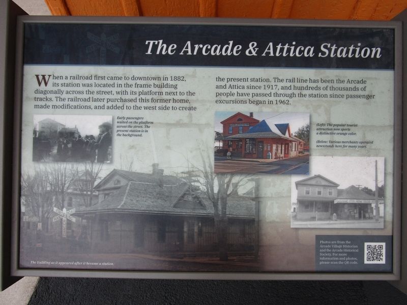
The Arcade & Attica Station
Photographed by Anton Schwarzmueller, September 6, 2025
1. The Arcade & Attica Station Marker
Early passengers waited on the platform across the street. The present station is in the background.
Left: The popular tourist attraction now sports a distinctive orange color. Below: Various merchants operated newsstands here for many years.
The building as it appeared after it became station. Photos are from the Arcade Village Historian and the Arcade Historical Society.
Erected by Village of Arcade.
Topics. This historical marker is listed in this topic list: Railroads & Streetcars. A significant historical year for this entry is 1882.
Location. 42° 33.233′ N, 78° 25.437′ W. Marker is in Arcade, New York, in Wyoming County. It is on West Main Street (New York State
this page online

Regionally, this marker is in Upstate New York, specifically in Western New York, and in the Finger Lakes. It is also in the American Northeast and in the Mid-Atlantic. Globally, it is in North America, the Western Hemisphere, the Western World, and the Anglosphere. Historically, it finds itself in what was once the Haudenosaunee (Iroquois) Confederacy, New Netherland, and one of the original Thirteen Colonies.
Other nearby markers. At least 8 other markers are within 3 miles of this marker, measured as the crow flies: Flooding in Arcade (approx. 1.3 miles away); Bridges and Dams (approx. 1.3 miles away); Locomotive #110 (approx. 1.3 miles away); Box Car #411 (approx. 1.3 miles away); Caboose #303 (approx. 1.3 miles away); United Church of Christ, Congregational (approx. 1.4 miles away); 1941 1945 In Honor and Memory (approx. 1.4 miles away); Springville and Sardinia Railroad (approx. 2.9 miles away).
Photographed by Anton Schwarzmueller, September 6, 2025
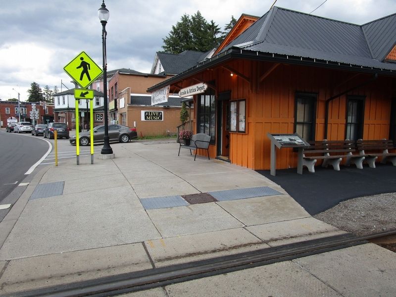
2. The Arcade & Attica Station & Marker
Also see . . . Arcade & Attica Railroad. (Submitted on September 7, 2025, by Anton Schwarzmueller of Wilson, New York.)
Photographed by Anton Schwarzmueller, September 6, 2025
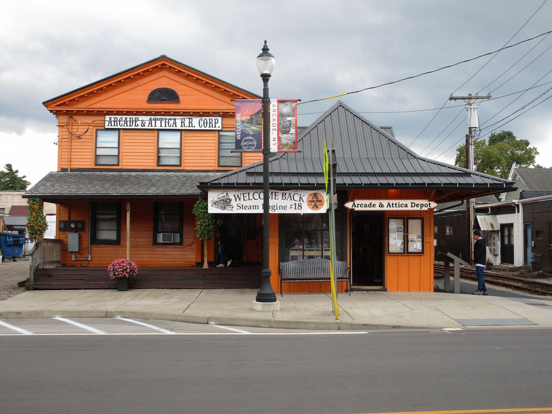
3. The Arcade & Attica Station
Credits. This page was last revised on September 7, 2025. It was originally submitted on September 7, 2025, by Anton Schwarzmueller of Wilson, New York. This page has been viewed 109 times since then and 33 times this year. Photos: 1, 2, 3. submitted on September 7, 2025, by Anton Schwarzmueller of Wilson, New York.
