Niagara Falls in Niagara Region, Ontario — Central Canada (North America)
Churches Atop of Drummond Hill
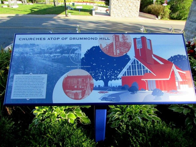
Photographed by Bill Coughlin, September 19, 2019
1. Churches Atop of Drummond Hill Marker
Erected by City of Niagara Falls.
Topics. This historical marker is listed in these topic lists: Religion & Religious Structures • War of 1812. A significant historical year for this entry is 1795.
Location. 43° 5.362′ N, 79° 5.764′ W. Marker is in Niagara Falls, Ontario, in Niagara Region.
this page online

Regionally, this marker is on Ontario’s Golden Horseshoe and in Niagara Canada. It is also in Central Canada. Globally, it is in North America, on the Great Lakes, in the Western Hemisphere, in the Western World, and in the Anglosphere. Historically, it finds itself in what was once a British colony, the Viceroyalty of New France, the Haudenosaunee (Iroquois) Confederacy, and Rupert’s Land.
Other nearby markers. At least 8 other markers are within walking distance of this marker: Holding the High Ground (a few steps from this marker); The Battle of Lundy’s Lane (within shouting distance of this marker); a different marker also named Battle of Lundy's Lane (within shouting distance of this marker); Lundy’s Lane Battlefield Gateway (within shouting distance of this marker); I’ll Try, Sir (within shouting distance of this marker); War of 1812 (within shouting distance of this marker); Soldier's Monument (within shouting distance
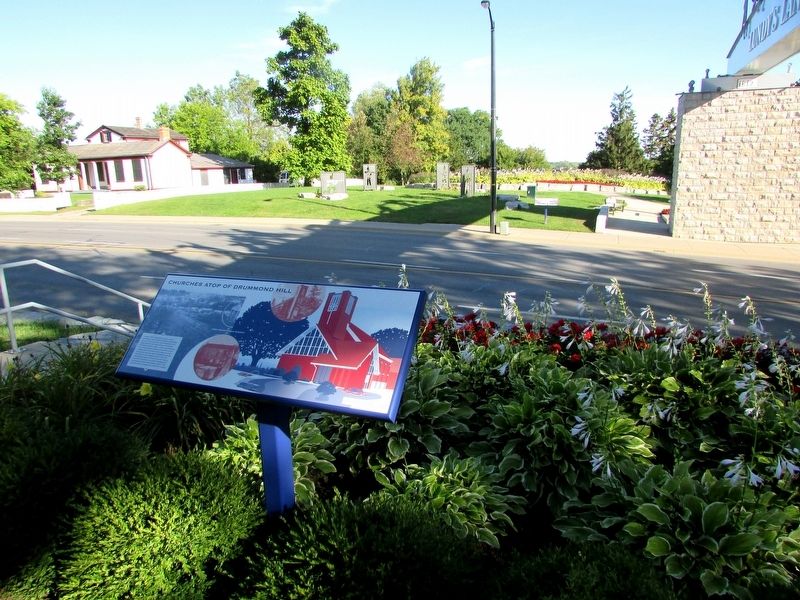
Photographed by Bill Coughlin, September 19, 2019
2. Churches Atop of Drummond Hill Marker
More about this marker. Different images of the 1836 Presbyterian Church appear on the marker.
Related markers. Click here for a list of markers that are related to this marker. These markers follow the story of the Battle of Lundy's Lane.
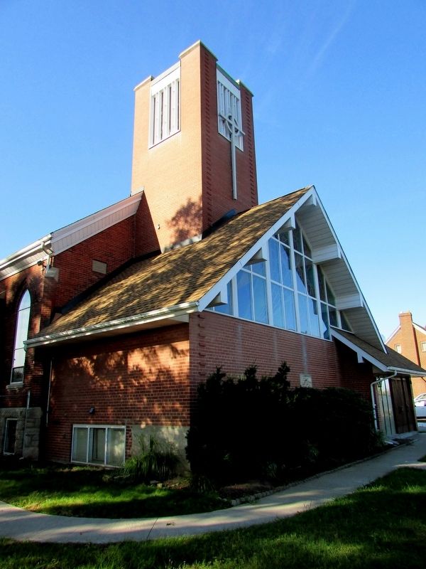
Photographed by Bill Coughlin, September 19, 2019
3. Drummond Hill Presbyterian Church
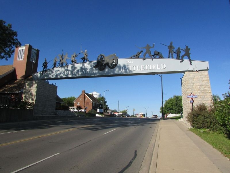
Photographed by Bill Coughlin, September 19, 2019
4. Lundy's Lane Battlefield
The Churches Atop of Drummond Hill marker is located on the Lundy's Lane Battlefield. The church can be seen on the left.
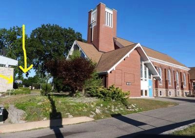
Photographed by Kevin Westell, July 18, 2025
5. Churches Atop of Drummond Hill - Marker in context
Photo faces south-east from Lundy's Lane. From this angle, the marker (pointed by two arrows) just looks like an angled blue line. To reach the marker from the street:
On the south side of the street, locate the stairs just west of the arch, that lines up with the front of the church. Go up the stairs, turn left, voila.
Credits. This page was last revised on October 5, 2025. It was originally submitted on September 22, 2019, by Bill Coughlin of Woodland Park, New Jersey. This page has been viewed 291 times since then and 19 times this year. Last updated on September 8, 2025, by Kevin Westell of St. Catharines, Ontario. Photos: 1, 2, 3, 4. submitted on September 22, 2019, by Bill Coughlin of Woodland Park, New Jersey. 5. submitted on July 20, 2025, by Kevin Westell of St. Catharines, Ontario. • Andrew Ruppenstein was the editor who published this page.
