Old University in Guelph in Wellington County, Ontario — Central Canada (North America)
Gow’s Bridge
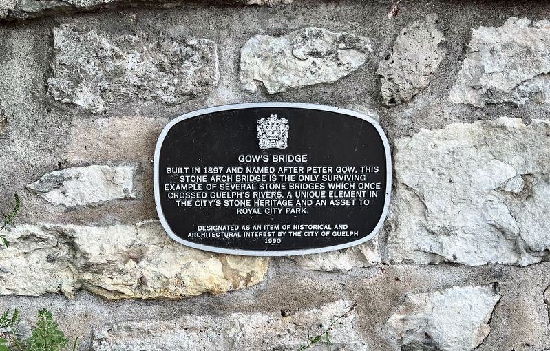
Photographed by Tim Boyd, September 1, 2025
1. Gow’s Bridge Marker
Erected 1990 by City of Guelph.
Topics. This historical marker is listed in this topic list: Bridges & Viaducts. A significant historical year for this entry is 1897.
Location. 43° 32.196′ N, 80° 14.761′ W. Marker is in Guelph, Ontario, in Wellington County. It is in Old University. It is on McCrae Boulevard 0.1 kilometers north of Water Street, on the left when traveling north. Touch for map. Marker is at or near this postal address: 1 McCrae Boulevard, Guelph ON N1G 2C2, Canada. Touch for directions.

Regionally, this marker is in the Huron-Perth-Waterloo-Wellington Area and in Southwestern Ontario. It is also in Central Canada. Globally, it is in North America, the Western Hemisphere, the Western World, and the Anglosphere. Historically, it finds itself in what was once a
this page online
Other nearby markers. At least 8 other markers are within walking distance of this marker: Lieutenant-Colonel John McCrae (about 90 meters away, measured in a direct line); McCrae House / La Maison McCrae (about 120 meters away); Birthplace of Lt.-Col. John McCrae (about 120 meters away); Lt-Col John McCrae / Le Lt-Col. John McCrae (about 120 meters away); McCrae Birthplace (about 120 meters away); Guelph British Methodist Episcopal Church (approx. half a kilometer away); British Episcopal Methodist Church (approx. half a kilometer away); John McLean 1799-1890 (approx. half a kilometer away). Touch for a list and map of all markers in Guelph.
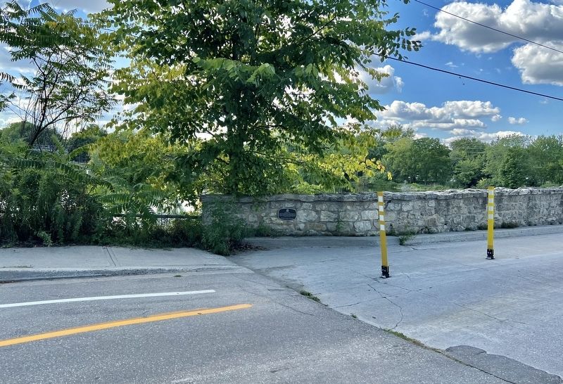
Photographed by Tim Boyd, September 1, 2025
2. Gow’s Bridge Marker
At the south end of the bridge
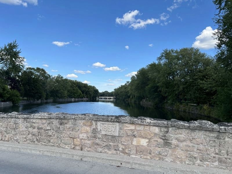
Photographed by Tim Boyd, September 1, 2025
3. Looking East from Gow’s Bridge, with its date stone
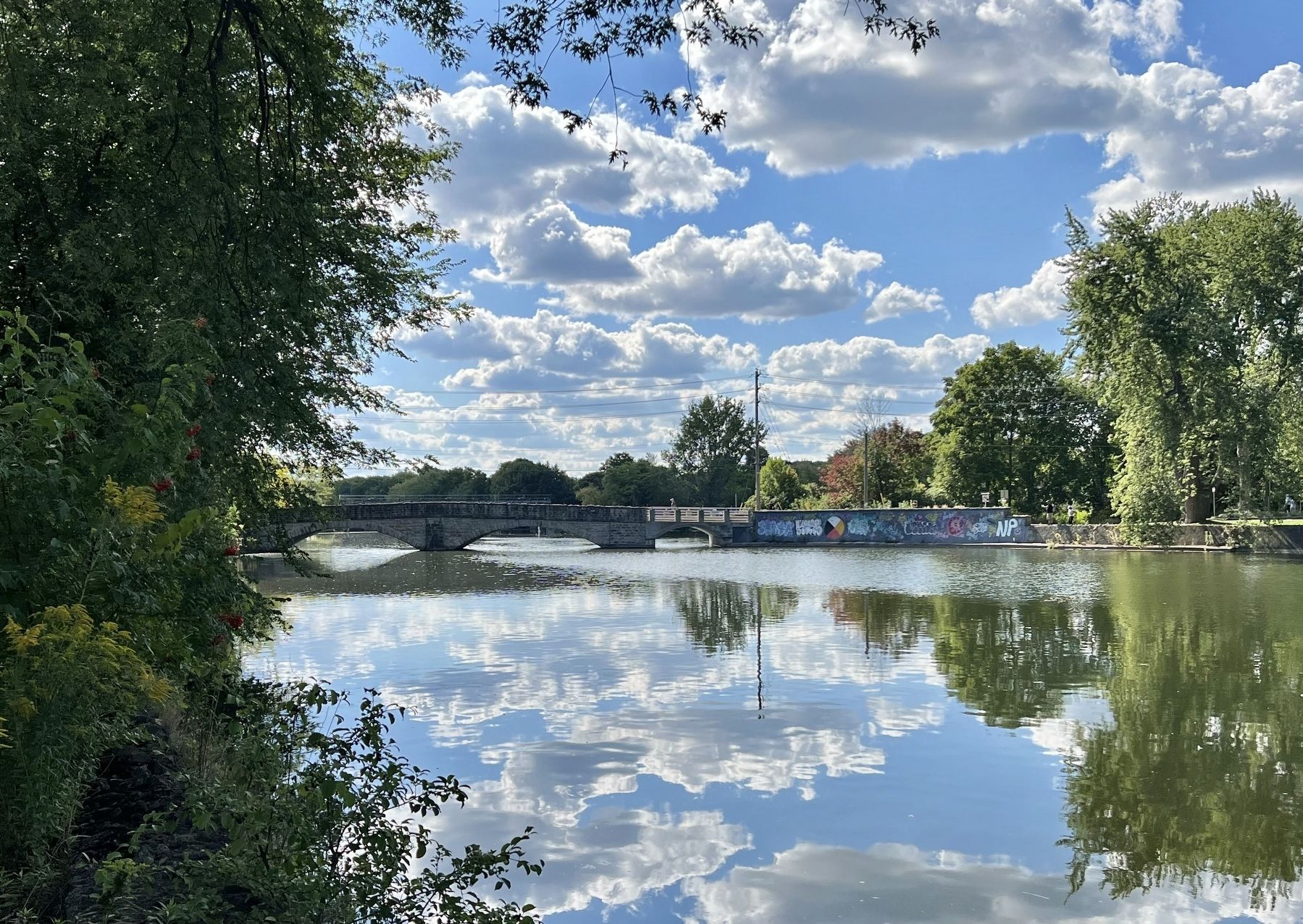
Photographed by Tim Boyd, September 1, 2025
4. Gow’s Bridge from Royal City Park, 2025
Credits. This page was last revised on September 10, 2025. It was originally submitted on September 9, 2025, by Tim Boyd of Hamilton, Ontario. This page has been viewed 78 times since then and 16 times this year. Photos: 1, 2, 3, 4. submitted on September 9, 2025, by Tim Boyd of Hamilton, Ontario. • Andrew Ruppenstein was the editor who published this page.
