Campbellford in Northumberland County, Ontario — Central Canada (North America)
Founders of Campbellford
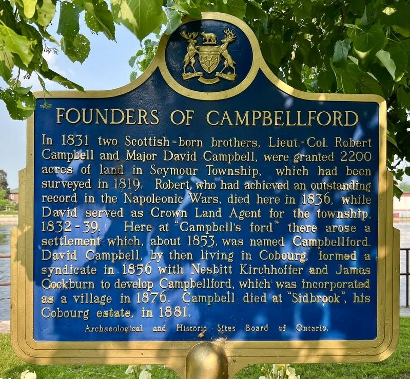
Photographed by Tim Boyd, June 7, 2025
1. Founders of Campbellford Marker
Erected by Archaeological and Historic Sites Board of Ontario.
Topics and series. This historical marker is listed in this topic list: Settlements & Settlers. In addition, it is included in the Canada, Ontario Heritage Trust series list. A significant historical year for this entry is 1831.
Location. 44° 18.58′ N, 77° 47.979′ W. Marker is in Campbellford, Ontario, in Northumberland County. It is on Queen Street 0.1 kilometers north of Bridge Street West, on the
this page online

Regionally, this marker is in the Kawarthas Northumberland Area and in Eastern Ontario. It is also in Central Canada. Globally, it is in North America, on the Great Lakes, in the Western Hemisphere, in the Western World, and in the Anglosphere. Historically, it finds itself in what was once a British colony, the Viceroyalty of New France, the Haudenosaunee (Iroquois) Confederacy, and Rupert’s Land.
Other nearby markers. At least 8 other markers are within 21 kilometers of this marker, measured as the crow flies: Trent-Severn Waterway National Historic Site of Canada (about 150 meters away, measured in a direct line); Old Mill Park (about 210 meters away); Hastings Cenotaph (approx. 12.5 kilometers away); The Founding of Hastings (approx. 12.8 kilometers away); J.D. Kelly 1862-1958 (approx. 14 kilometers away); Warkworth Cheese Country (approx. 14.1 kilometers away); Centennial of Confederation (approx. 18.1 kilometers away); World Wars Memorial (approx. 20.1 kilometers
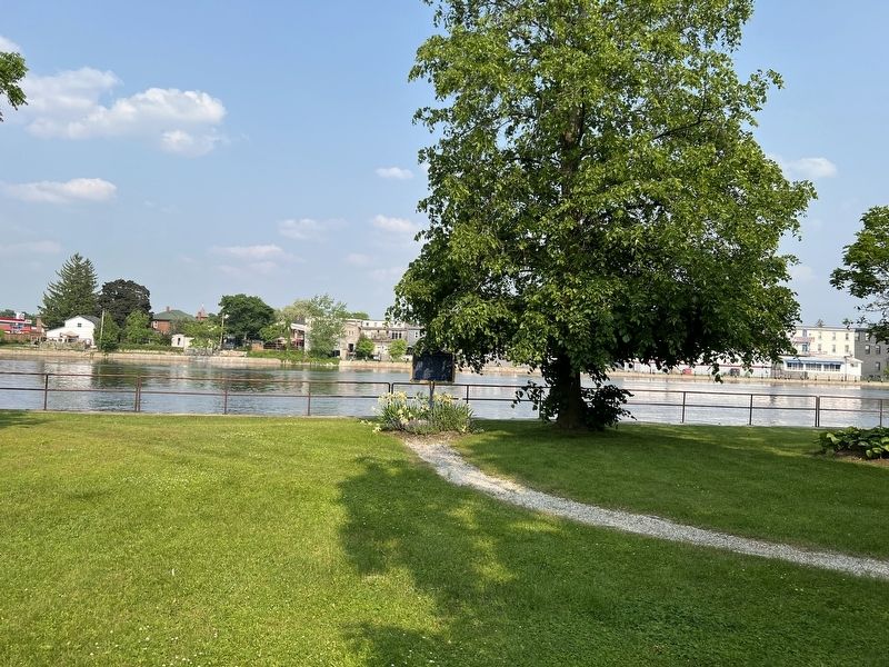
Photographed by Tim Boyd, June 7, 2025
2. Founders of Campbellford Marker
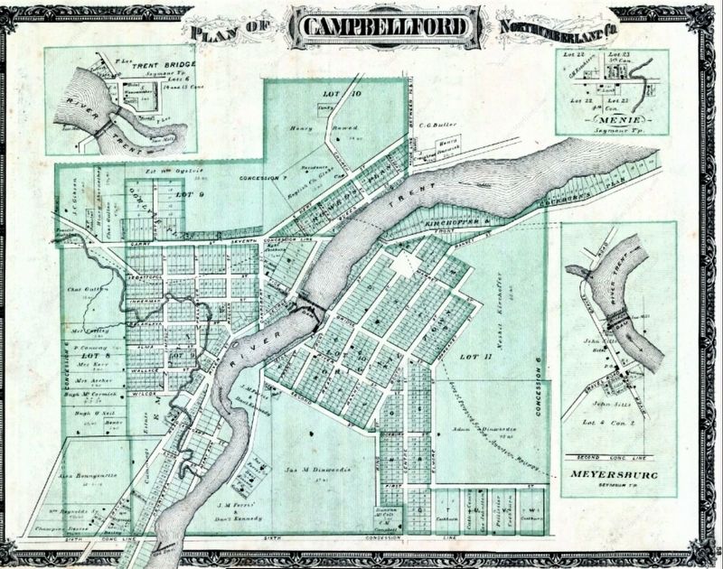
3. Village of Campbellford in 1878
Source: Historical Atlas of Durham and Northumberland Counties (archive.org, public domain)
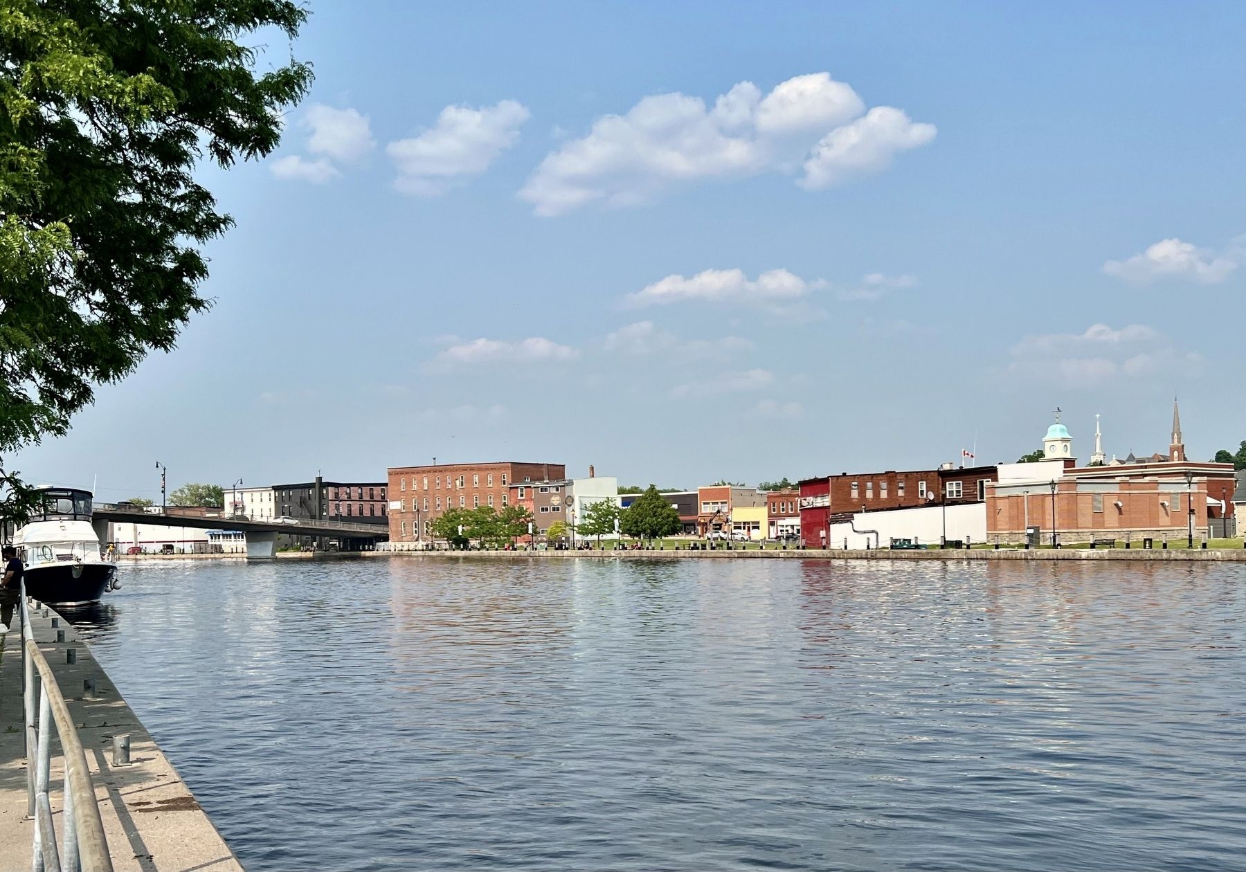
Photographed by Tim Boyd, June 7, 2025
4. Campbellford in 2025
Credits. This page was last revised on September 10, 2025. It was originally submitted on June 14, 2025, by Tim Boyd of Hamilton, Ontario. This page has been viewed 158 times since then and 39 times this year. Last updated on September 10, 2025, by Kevin Westell of St. Catharines, Ontario. Photos: 1, 2, 3, 4. submitted on June 14, 2025, by Tim Boyd of Hamilton, Ontario. • Devry Becker Jones was the editor who published this page.
