Near Grafton in Northumberland County, Ontario — Central Canada (North America)
Barnum House
⎯⎯⎯
Maison Barnum
Photographed by Tim Boyd, June 8, 2025
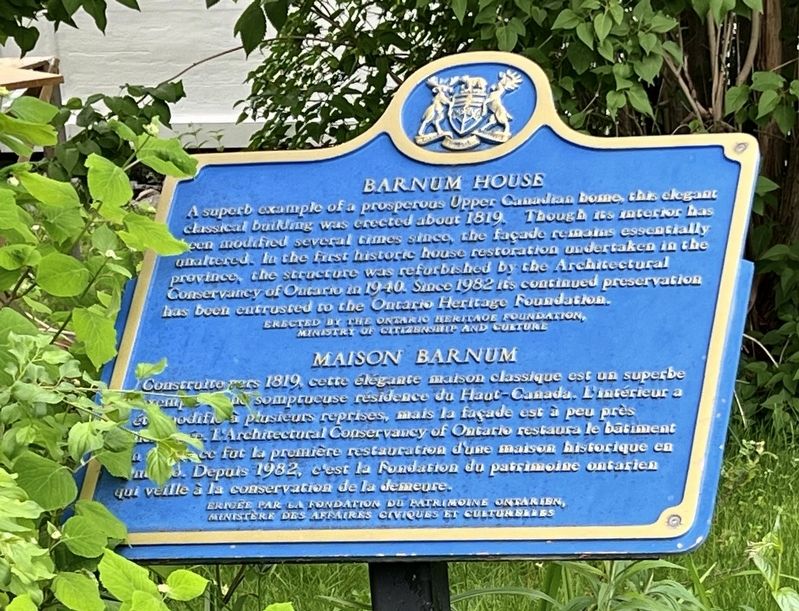
1. Barnham House Marker

A superb example of a prosperous Upper Canada home, this elegant classical building was erected about 1819. Though its interior has been modified several times since, the façade remains essentially unaltered. In the first historic house restoration undertaken in the province, the structure was refurbished by the Architectural Conservancy of Ontario in 1940. Since 1982 its continued preservation has been entrusted to the Ontario Heritage Foundation.
Construite vers 1819, cette élégante maison classique est un superbe exemple d'une somptueuse résidence du Haut-Canada. L'intérieur a été modifié à plusieurs reprises, mais la façade est à peu près inchangée. L'Architectural Conservaney of Ontario restaura le batiment en 1940; ce fut la première restauration dune maison historique en Ontario. Depuis 1982, c'est la Fondation du patrimoine ontarien qui veille à la conservation de la demeure.
Erected by Ontario Heritage Foundation.
Topics and series. This historical marker is listed in this topic list: Architecture. In addition, it is included in the Canada, Ontario Heritage Trust
this page online
Location. 43° 59.448′ N, 78° 2.607′ W. Marker is near Grafton, Ontario, in Northumberland County. It is at the intersection of County Road 2 and Barnham House Road, on the right when traveling west on County Road 2. Touch for map. Marker is at or near this postal address: 10568 County Rd 2, Grafton ON K0K 2G0, Canada. Touch for directions.

Regionally, this marker is in the Kawarthas Northumberland Area and in Eastern Ontario. It is also in Central Canada. Globally, it is in North America, on the Great Lakes, in the Western Hemisphere, in the Western World, and in the Anglosphere. Historically, it finds itself in what was once a British colony, the Viceroyalty of New France, the Haudenosaunee (Iroquois) Confederacy, and Rupert’s Land.
Other nearby markers. At least 8 other markers are within 11 kilometers of this marker, measured as the crow flies: Barnum House / La Maison Barnum (here, next to this marker); Church of St. Peter (approx. 10 kilometers away); Victoria College (approx. 10.1 kilometers away); Ryerson Walk (approx. 10.1 kilometers away); William Weller
Photographed by Tim Boyd, June 8, 2025
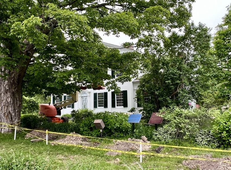
2. Barnum House / Maison Barnum Marker
More about this marker. In June, 2025, the Barnum House property was undergoing construction, making direct access to the marker difficult.
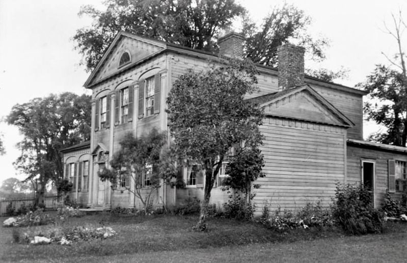
1925
3. Barnum House in 2025
Souece: Library and Archives Canada (public domain)

Photographed by Tim Boyd, August 6, 2025
4. Barnum House, June, 2025
Credits. This page was last revised on September 10, 2025. It was originally submitted on June 15, 2025, by Tim Boyd of Hamilton, Ontario. This page has been viewed 100 times since then and 23 times this year. Last updated on September 10, 2025, by Kevin Westell of St. Catharines, Ontario. Photos: 1, 2, 3, 4. submitted on June 15, 2025, by Tim Boyd of Hamilton, Ontario. • Devry Becker Jones was the editor who published this page.
