
Central Huron in Huron County, Ontario — Central Canada (North America)
Ball’s Bridge

Photographed by Julie Miller, July 14, 2024
1. Ball’s Bridge Marker
Used with permission
Erected by Ontario Heritage Trust.
Topics and series. This historical marker is listed in this topic list: Bridges & Viaducts. In addition, it is included in the Canada, Ontario Heritage Trust series list. A significant historical year for this entry is 1885.
Location. Marker is missing. It was located near 43° 43.856′ N, 81° 32.515′ W. Marker was in Central Huron, Ontario, in Huron County.
this page online

Regionally, this marker was in the Huron-Perth-Waterloo-Wellington Area and in Southwestern Ontario. It was also in Central Canada. Globally, it was in North America, the Western Hemisphere, the Western World, and the Anglosphere. Historically, it found itself in what was once a British colony, the Viceroyalty of New France, the Haudenosaunee (Iroquois) Confederacy, and Rupert’s Land.
Other nearby markers. At least 8 other markers are within 10 kilometers of this location, measured as the crow flies: Methodist Church (approx. 9 kilometers away); Library (approx. 9 kilometers away); Extra Extra! Read All About It! (approx. 9 kilometers away); Strike (approx. 9.1 kilometers away); Baked Goods (approx. 9.1 kilometers away); Communications Hub (approx. 9.1 kilometers away); Since 1863 (approx. 9.1 kilometers away); Rooms for Hire (approx. 9.1 kilometers away).

Photographed by Tim Boyd, July 4, 2025
2. Ball’s Bridge marker (missing)
The marker’s post is visible at the centre of the photo
More about this marker. The marker was missing as of July 4, 2025
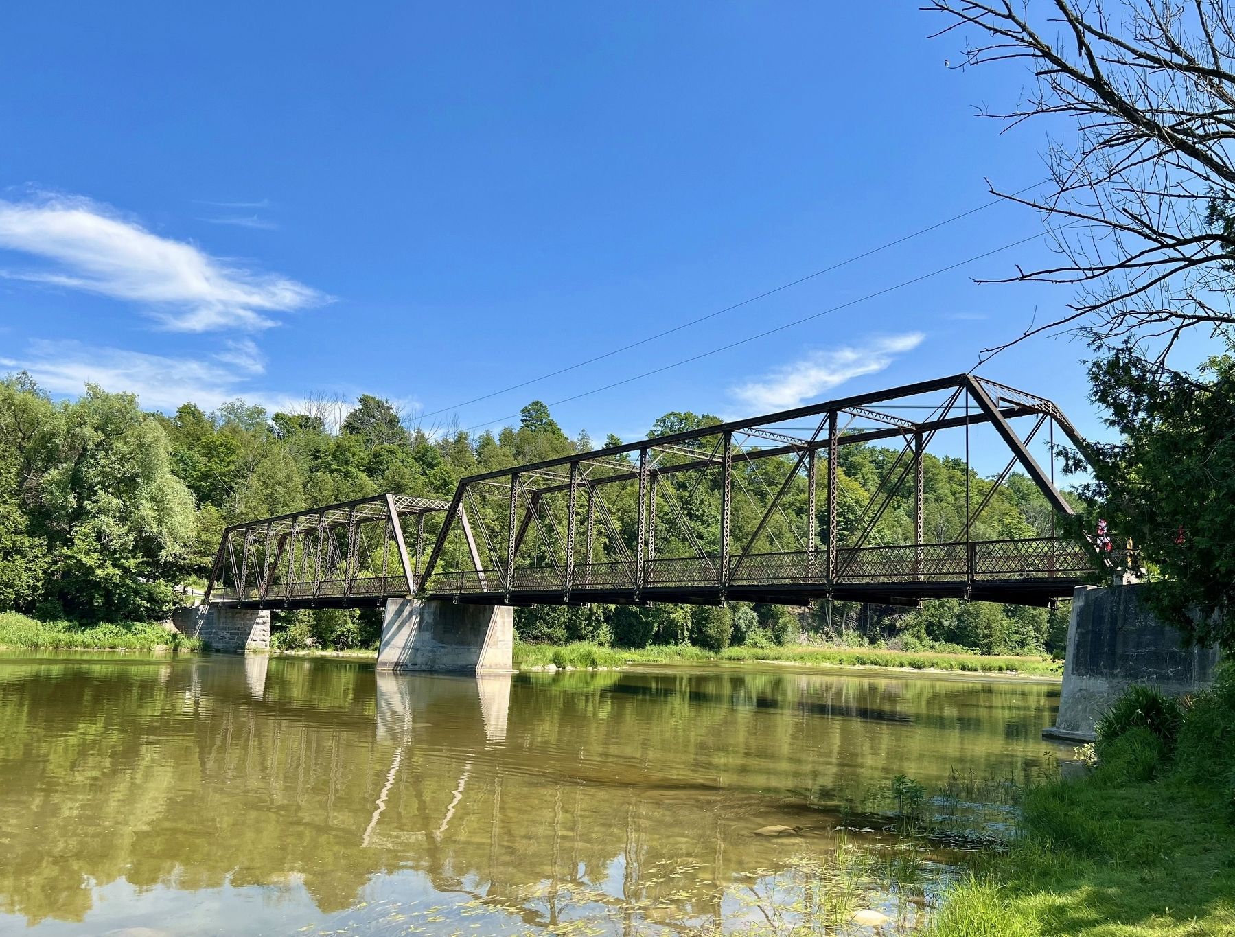
Photographed by Tim Boyd, July 4, 2025
3. Ball’s Bridge in 2025
Credits. This page was last revised on September 10, 2025. It was originally submitted on July 8, 2025, by Tim Boyd of Hamilton, Ontario. This page has been viewed 114 times since then and 36 times this year. Last updated on September 10, 2025, by Kevin Westell of St. Catharines, Ontario. Photos: 1, 2, 3. submitted on July 8, 2025, by Tim Boyd of Hamilton, Ontario. • Devry Becker Jones was the editor who published this page.
