Perry Township near Norwich in Muskingum County, Ohio — The American Midwest (Great Lakes)
Johnson's Mill/Salt Creek Covered Bridge
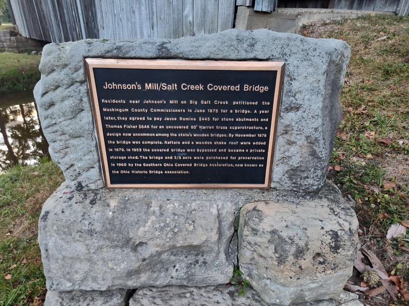
Photographed by Craig Doda, August 31, 2025
1. Johnson's Mill/Salt Creek Covered Bridge Marker
Erected by Ohio Historic Bridge Association.
Topics and series. This historical marker is listed in this topic list: Bridges & Viaducts. In addition, it is included in the Covered Bridges series list. A significant historical month for this entry is June 1875.
Location. 39° 59.94′ N, 81° 50.393′ W. Marker is near Norwich, Ohio, in Muskingum County. It is in Perry Township. It is at the intersection of Arch Hill Road (County Road 82) and Murphy Hill Road, on the right when traveling
this page online

Regionally, this marker is in the American Midwest, in Appalachia, and specifically in Northern Appalachia. Globally, it is in North America, the Western Hemisphere, the Western World, and the Anglosphere. Historically, it finds itself in what was once the Haudenosaunee (Iroquois) Confederacy, the territory of the Mississippian Culture, and the Northwest Territory.
Other nearby markers. At least 8 other markers are within 2 miles of this marker, measured as the crow flies: Salt Creek Bridge/Timber Covered Bridges (a few steps from this marker); Motels (approx. 1.8 miles away); Tomb Of The Unknown Soldier (approx. 1.8 miles away); Mile Markers (approx. 1.9 miles away); The Historic National Road (approx. 1.9 miles away); The Historic National Road in Ohio (approx. 1.9 miles away); Zane’s Trace Bridge (approx. 1.9 miles away); Warren Pony Truss Bridge (approx. 1.9 miles away). Touch for a list and map of all markers in Norwich.
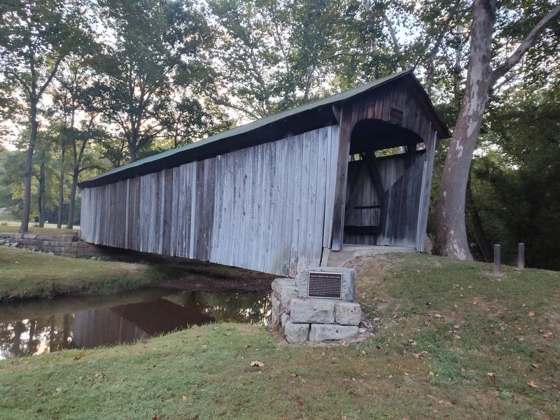
Photographed by Craig Doda, August 31, 2025
2. Johnson's Mill/Salt Creek Covered Bridge Marker
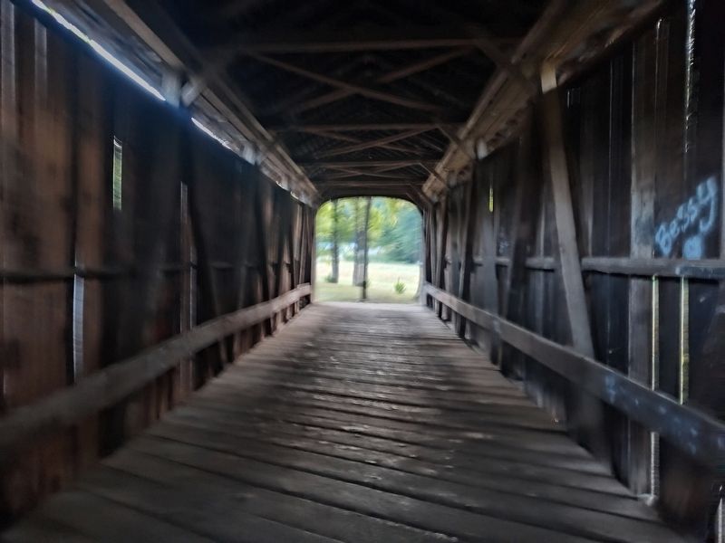
Photographed by Craig Doda, August 31, 2025
3. Johnson's Mill/Salt Creek Covered Bridge Marker
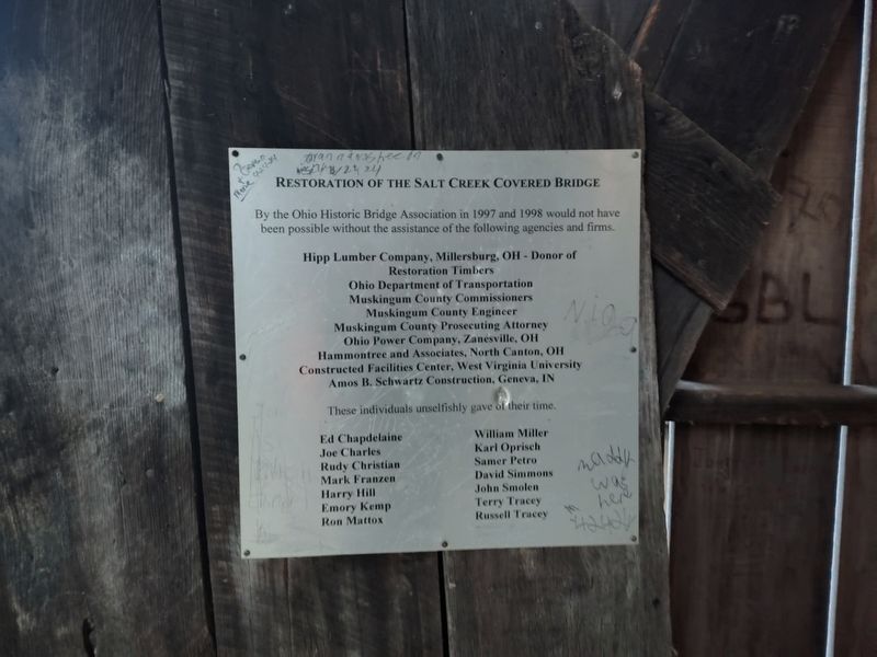
Photographed by Craig Doda, August 31, 2025
4. Johnson's Mill/Salt Creek Covered Bridge Marker
Credits. This page was last revised on September 10, 2025. It was originally submitted on September 10, 2025, by Craig Doda of Napoleon, Ohio. This page has been viewed 116 times since then and 31 times this year. Photos: 1, 2, 3, 4. submitted on September 10, 2025, by Craig Doda of Napoleon, Ohio. • Andrew Ruppenstein was the editor who published this page.
