Prairie City in Grant County, Oregon — The American West (Northwest)
Disappearing History
Photographed by William Thievon, July 10, 2025
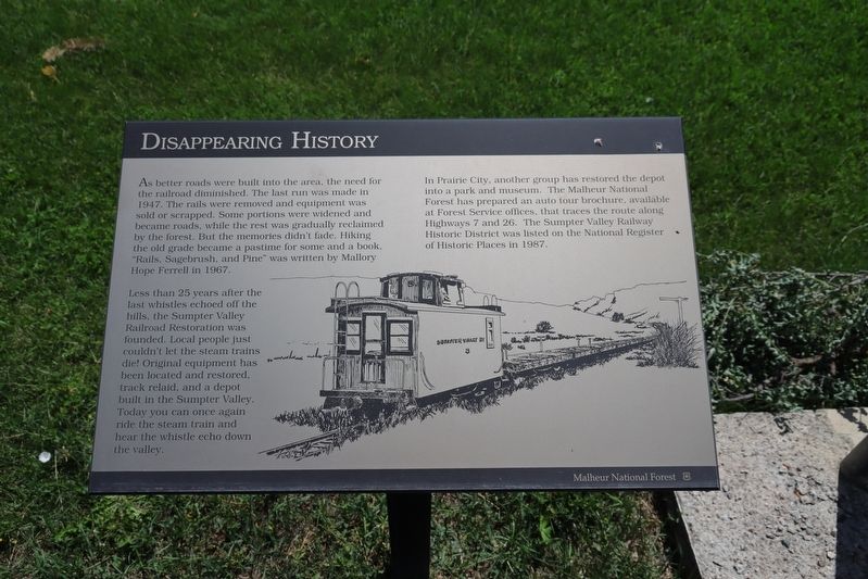
1. Disappearing History Marker
As better roads were built into the area, the need for the railroad diminished. The last run was made in 1947. The rails were removed and equipment was sold or scrapped. Some portions were widened and became roads, while the rest was gradually reclaimed by the forest. But the memories didn’t fade. Hiking the old grade became a pastime for some and a book, “Rails, Sagebrush, and Pine” was written by Mallory Hope Ferrell in 1967.
Less than 25 years after the last whistles echoed off the hills, the Sumpter Valley Railroad Restoration was founded. Local people just couldn’t let the steam trains die! Original equipment has been located and restored, track relaid, and a depot built in the Sumpter Valley. Today you can once again ride the steam train and hear the whistle echo down the valley.
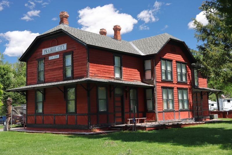
In Prairie City, another group has restored the depot into a park and museum. The Malheur National Forest has prepared an auto tour brochure, available at Forest Service offices, that traces the route along Highways 7 and 26. The Sumpter Valley Railway Historic District was listed on the National Register of Historic Places in 1987.
Erected by Malheur
this page online
Topics. This historical marker is listed in this topic list: Railroads & Streetcars.
Location. 44° 27.467′ N, 118° 42.383′ W. Marker is in Prairie City, Oregon, in Grant County. It can be reached from South Main Street, on the left when traveling south. Located in Depot RV Park near Sumpter Valley Railroad Station. Touch for map. Marker is at or near this postal address: 425 S Main Street, Prairie City OR 97869, United States of America. Touch for directions.

Regionally, this marker is in Eastern Oregon. It is also in the American Mountain West and in the Lewis & Clark Corridor. Globally, it is in North America, on the Pacific Rim, in the Western Hemisphere, in the Western World, and in the Anglosphere.
Other nearby markers. At least 3 other markers are within 14 miles of this marker, measured as the crow flies: The Dixie Switchback (within shouting distance of this marker); Sumpter Valley Railroad Hiking Trail (approx. 7.2 miles away); The Oxbow Conservation Area (approx. 13.4 miles away).
Photographed by William Thievon, July 10, 2025
2. Sumpter Valley Railroad Station (now Depot RV Park)
Credits. This page was last revised on September 11, 2025. It was originally submitted on September 11, 2025, by William Thievon of Hofheim am Taunus, Germany. This page has been viewed 91 times since then and 39 times this year. Photos: 1, 2. submitted on September 11, 2025, by William Thievon of Hofheim am Taunus, Germany. • Andrew Ruppenstein was the editor who published this page.
