Port Dalhousie in St. Catharines in Niagara Region, Ontario — Central Canada (North America)
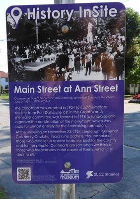
Main Street at Ann Street
History InSite
Photographed by Kevin Westell, September 12, 2025
1. Main Street at Ann Street - Marker
History InSite is presented by the St. Catharines Museum & Welland Canals Centre.
Erected by St. Catharines Museum and Welland Canals Centre.
Topics. This historical marker is listed in these topic lists: Charity & Public Work • Patriots & Patriotism. A significant historical year for this entry is 1918.
Location. 43° 11.99′ N, 79° 16.278′ W. Marker is in St. Catharines, Ontario, in Niagara Region. It is in Port Dalhousie. It is at the intersection of Main Street and Ann Street, on the right when traveling west on Main Street. The marker
this page online

Regionally, this marker is on the Golden Horseshoe and in Niagara Canada. It is also in Central Canada. Globally, it is in North America, on the Great Lakes, in the Western Hemisphere, in the Western World, and in the Anglosphere. Historically, it finds itself in what was once a British colony, the Viceroyalty of New France, the Haudenosaunee (Iroquois) Confederacy, and Rupert’s Land.
Other nearby markers. At least 8 other markers are within walking distance of this marker: Port Dalhousie Cenotaph (within shouting distance of this marker); St John's Anglican Church 1868 (within shouting distance of this marker); The Craig Swayze Memorial Grandstand (within shouting distance of this marker); The Royal Canadian Henley Regatta (about 90 meters away, measured in a direct line); Port Dalhousie Town Hall (about 150
Photographed by Kevin Westell, September 12, 2025
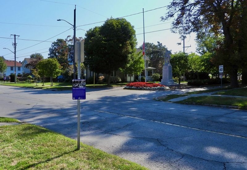
2. Main Street at Ann Street - Marker in context
Credits. This page was last revised on March 9, 2026. It was originally submitted on September 13, 2025, by Kevin Westell of St. Catharines, Ontario. This page has been viewed 46 times since then and 14 times this year. Photos: 1, 2. submitted on September 13, 2025, by Kevin Westell of St. Catharines, Ontario. • Andrew Ruppenstein was the editor who published this page.
