Brentwood in Williamson County, Tennessee — The American South (East South Central)
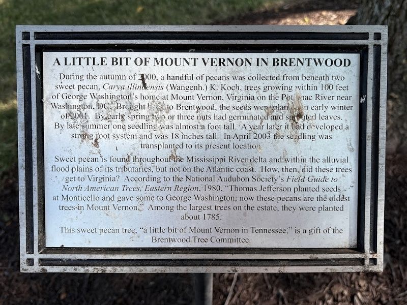
A Little Bit of Mount Vernon in Brentwood
Photographed by Darren Jefferson Clay, September 7, 2025
1. A Little Bit of Mount Vernon in Brentwood Marker
Sweet pecan is found throughout the Mississippi River delta and within the alluvial flood plains of its tributaries, but not on the Atlantic coast. How, then, did these trees get to Virginia? According to the National Audubon Society's Field Guide to North American Trees, Eastern Region, 1980 , "Thomas Jefferson planted seeds at Monticello and gave some to George Washington; now these pecans are the oldest trees in Mount Vernon." Among the largest trees on the estate, they were planted about 1785.
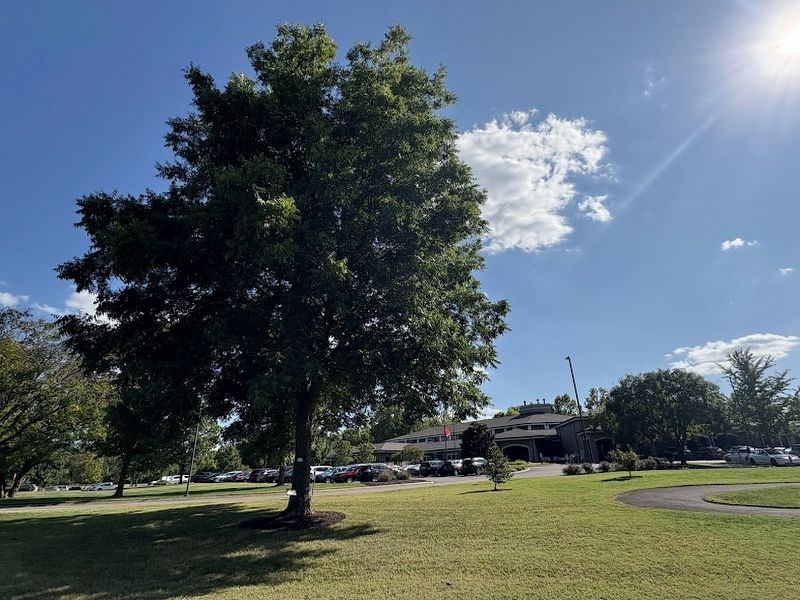
This sweet pecan tree, "a little
this page online
Topics. This historical marker is listed in this topic list: Horticulture & Forestry. A significant historical month for this entry is April 2003.
Location. 35° 59.725′ N, 86° 47.343′ W. Marker is in Brentwood, Tennessee, in Williamson County. It can be reached from Knox Valley Drive, on the right when traveling south. Touch for map. Marker is at or near this postal address: 1206 Knox Valley Dr, Brentwood TN 37027, United States of America. Touch for directions.

Regionally, this marker is in Middle Tennessee and in Greater Nashville. It is also in the American South and specifically in the Upper South. Globally, it is in North America, the Western Hemisphere, the Western World, and the Anglosphere. Historically, it finds itself in what was once the territory of the Mississippian Culture, one of the Confederate States of America, and the Antebellum South.
Other nearby markers. At least 8 other markers are within walking distance of this marker: Native American Town (within shouting distance of this marker); The WSM Tower (within shouting distance of this
Photographed by Darren Jefferson Clay, September 7, 2025
2. A Little Bit of Mount Vernon in Brentwood Marker (at base of tree)
Credits. This page was last revised on September 14, 2025. It was originally submitted on September 13, 2025, by Darren Jefferson Clay of Duluth, Georgia. This page has been viewed 102 times since then and 37 times this year. Photos: 1, 2. submitted on September 13, 2025, by Darren Jefferson Clay of Duluth, Georgia. • James Hulse was the editor who published this page.
