Thorold in Niagara Region, Ontario — Central Canada (North America)
St. Johns

Photographed by Tim Boyd, November 7, 2024
1. St. Johns Marker
Erected by Ontario Heritage Foundation.
Topics and series. This historical marker is listed in these topic lists: Industry & Commerce • Settlements & Settlers. In addition, it is included in the Canada, Ontario Heritage Trust, and the The Welland Canals series lists. A significant historical year for this entry is 1792.
Location. 43° 4.736′ N,
this page online

Regionally, this marker is on Ontario’s Golden Horseshoe and in Niagara Canada. It is also in Central Canada. Globally, it is in North America, on the Great Lakes, in the Western Hemisphere, in the Western World, and in the Anglosphere. Historically, it finds itself in what was once a British colony, the Viceroyalty of New France, the Haudenosaunee (Iroquois) Confederacy, and Rupert’s Land.
Other nearby markers. At least 8 other markers are within 5 kilometers of this marker, measured as the crow flies: Bouk Family Homestead 1855 (approx. 2.6 kilometers away); The Brethren in Christ Church / L’Église de la Fraternité Chrétienne (approx. 2.8 kilometers away); The Norton Cabin c. 1817 (approx. 3.4 kilometers away); Morningstar Mill - Harvesting Ice (approx. 3.6 kilometers away); Morningstar Mill - John DeCou's Falls and Mills
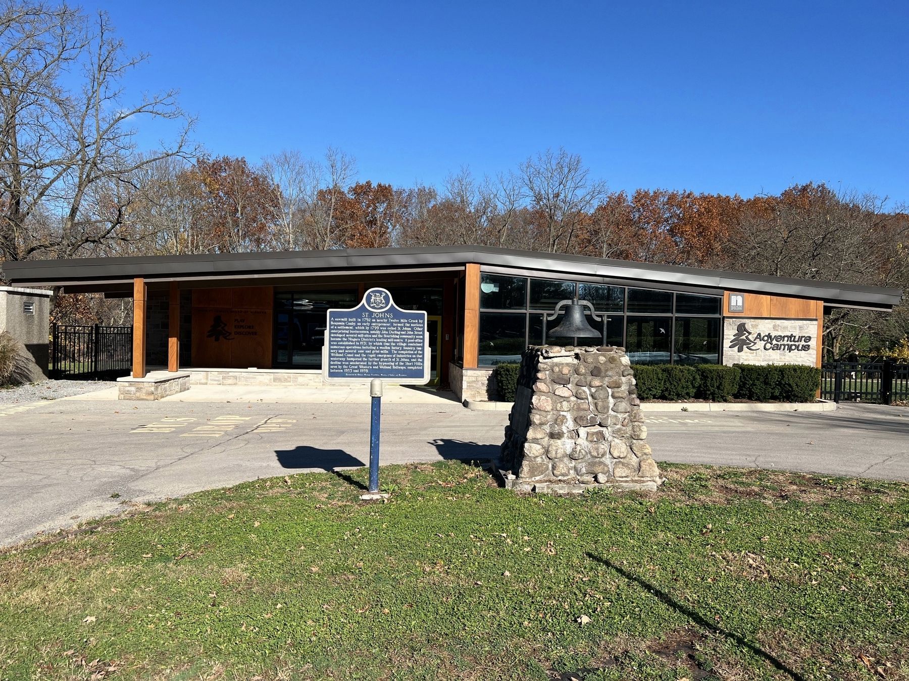
Photographed by Tim Boyd, November 7, 2024
2. St. Johns Marker

3. St. John’s, 1862
From Tremaine’s Map of Lincoln and Welland Counties

4. St. Johns Village Mill and Foundry, 1862
From Tremaine’s Map of Lincoln and Welland Counties
Credits. This page was last revised on September 29, 2025. It was originally submitted on November 8, 2024, by Tim Boyd of Hamilton, Ontario. This page has been viewed 312 times since then and 80 times this year. Last updated on September 14, 2025, by Kevin Westell of St. Catharines, Ontario. Photos: 1, 2, 3, 4. submitted on November 8, 2024, by Tim Boyd of Hamilton, Ontario. • Devry Becker Jones was the editor who published this page.
