Port Robinson in Thorold in Niagara Region, Ontario — Central Canada (North America)
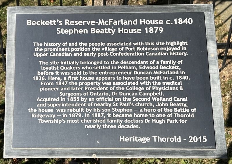
Beckett's Reserve-McFarland House c. 1840
⎯⎯⎯
Stephen Beatty House 1879
Photographed by Tim Boyd, November 7, 2024
1. Beckett's Reserve-McFarland House c. 1840 Stephen Beatty House 1879 Marker
The history of and the people associated with this site highlight the prominent position the village of Port Robinson enjoyed in Upper Canadian and early post-Confederation Canadian history.
The site initially belonged to the descendant of a family of loyalist Quakers who settled in Pelham, Edwood Beckett, before it was sold to the entrepreneur Duncan McFarland in 1836. Here, a first house appears to have been built in c. 1840. From 1847 the property was associated with the medical pioneer and later President of the College of Physicians & Surgeons of Ontario, Dr Duncan Campbell. Acquired in 1855 by an official on the Second Welland Canal and superintendent of nearby St Paul's church, John Beatty, the house was rebuilt by his son Stephen - a hero of the Battle of Ridgeway - in 1879. In 1887, it became home to one of Thorold Township's most cherished family doctors Dr Hugh Park for nearly three decades.
Erected 2015 by Heritage Thorold.
Topics. This historical marker is listed in these topic lists: Architecture • Settlements & Settlers. A significant historical year for this entry is 1840.
Location. 43° 2.451′ N, 79° 12.487′ W.
this page online

Regionally, this marker is on Ontario’s Golden Horseshoe and in Niagara Canada. It is also in Central Canada. Globally, it is in North America, on the Great Lakes, in the Western Hemisphere, in the Western World, and in the Anglosphere. Historically, it finds itself in what was once a British colony, the Viceroyalty of New France, the Haudenosaunee (Iroquois) Confederacy, and Rupert’s Land.
Other nearby markers. At least 8 other markers are within walking distance of this marker: Founding Of Port Robinson (about 120 meters away, measured in a direct line); 2nd Welland Canal River Lock At Port Robinson (about 120 meters away); a different marker also named 2nd Welland Canal River Lock At Port Robinson (about 120 meters away); Camp House (about 180 meters away); Allanburg Firehouse First World War Memorial (approx. 0.3 kilometers away);
Photographed by Tim Boyd, November 7, 2024
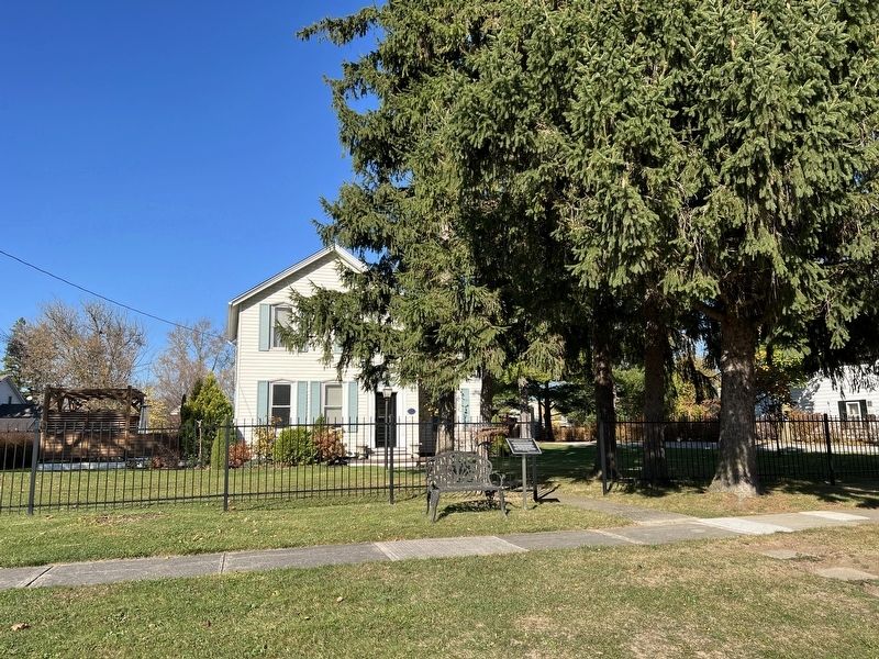
2. Beckett's Reserve-McFarland House c. 1840 Stephen Beatty House 1879 Marker

Photographed by Tim Boyd, November 7, 2024
3. Old lock of the Second Welland Canal at Port Robinson
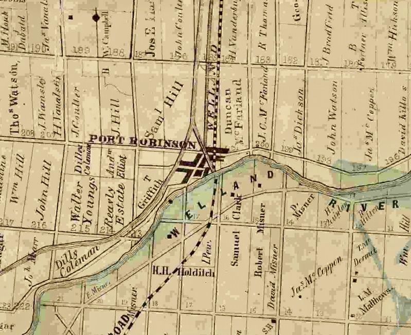
4. Port Robinson in 1862
From Tremaine’s Map of Lincoln and Welland Counties
Credits. This page was last revised on September 29, 2025. It was originally submitted on November 8, 2024, by Tim Boyd of Hamilton, Ontario. This page has been viewed 182 times since then and 24 times this year. Last updated on September 14, 2025, by Kevin Westell of St. Catharines, Ontario. Photos: 1, 2, 3, 4. submitted on November 8, 2024, by Tim Boyd of Hamilton, Ontario. • Devry Becker Jones was the editor who published this page.
