Brooklyn Heights in Kings County, New York — The American Northeast (Mid-Atlantic)
Brooklyn Municipal Building
“Landmarks of New York”
Photographed by Larry Gertner, May 3, 2019
1. Brooklyn Municipal Building Marker
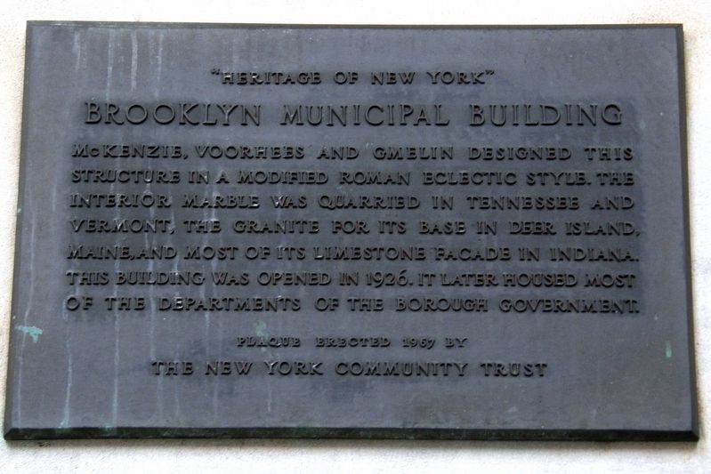
McKenzie, Voorhees and Gmelin designed this structure in a modified Roman Eclectic style. The interior marble was quarried in Tennessee and Vermont, the granite for its base in Deer Island, Maine, and most of its limestone façade in Indiana. This building was opened in 1926. It later housed most of the departments of the borough government.
Plaque presented 1967 by The New York Community Trust
Erected 1967 by The New York Community Trust.
Topics. This historical marker is listed in these topic lists: Architecture • Government & Politics • Notable Buildings. A significant historical year for this entry is 1926.
Location. 40° 41.542′ N, 73° 59.429′ W. Marker is in Brooklyn, New York, in Kings County. It is in Brooklyn Heights. It is on Joralemon Street near Court Street, on the left when traveling west. Touch for map. Marker is at or near this postal address: 210 Joralemon Street, Brooklyn NY 11201, United States of America. Touch for directions.

Regionally, this marker is in New York City and on Long Island. It is also in the American Northeast, in the Mid-Atlantic, and on the Eastern Seaboard. Globally,
this page online
Other nearby markers. At least 8 other markers are within walking distance of this marker: Brooklyn Borough Hall (within shouting distance of this marker); Brooklyn Heights / Downtown Brooklyn (within shouting distance of this marker); a different marker also named Brooklyn Heights / Downtown Brooklyn (within shouting distance of this marker); Did You Know? (about 300 feet away, measured in a direct line); Washington A. Roebling (about 500 feet away); World War I Memorial Grove (about 500 feet away); a different marker also named Did You Know? (about 500 feet away); a different marker also named Did You Know? (about 500 feet away). Touch for a list and map of all markers in Brooklyn.
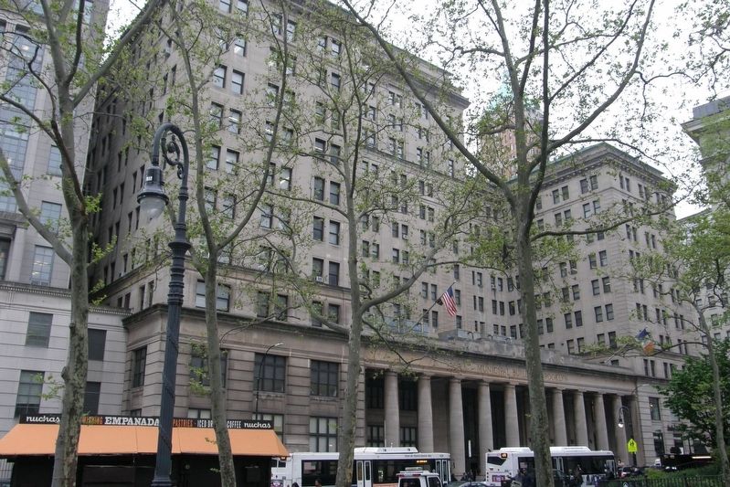
Regarding Brooklyn Municipal Building. The building is listed in the "AIA (American Institute of Architects) Guide to New York City, Fifth Edition".
Photographed by Larry Gertner, May 3, 2019
2. Brooklyn Municipal Building
Photographed by Jack DePalma, September 12, 2002
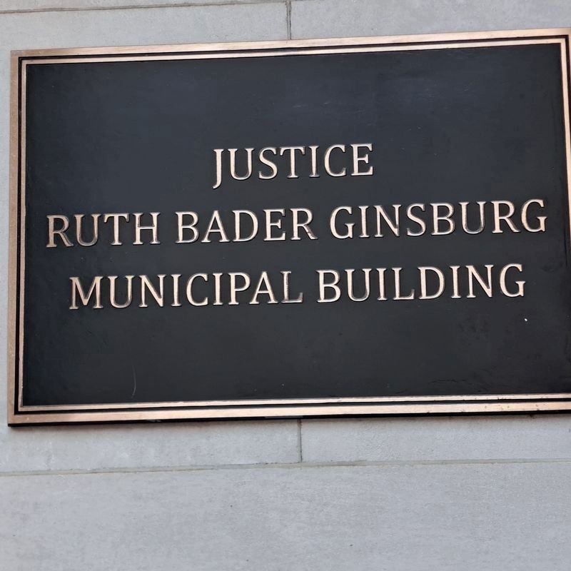
3. Brooklyn Municipal Building Marker
Dedication to Supreme Court Justice Ruth Bader Ginsburg
Credits. This page was last revised on September 18, 2025. It was originally submitted on June 2, 2019, by Larry Gertner of New York, New York. This page has been viewed 643 times since then and 57 times this year. Last updated on September 14, 2025, by Jack DePalma of Brooklyn,NY, New York. Photos: 1, 2. submitted on June 2, 2019, by Larry Gertner of New York, New York. 3. submitted on September 14, 2025, by Jack DePalma of Brooklyn,NY, New York. • Michael Herrick was the editor who published this page.
Editor’s want-list for this marker. A wide view photo of the marker and the surrounding area together in context. • Can you help?
