Glennville in Russell County, Alabama — The American South (East South Central)
Glennville
Photographed by Tim & Renda Carr, March 16, 2007
1. Glennville Marker Side A
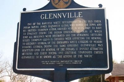
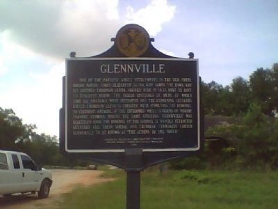
One of the earliest white settlements in the Old Creek Indian Nation. James Elizabeth Glenn, who named the town, and his brother Thompson Glenn, arrived here in 1835 only to have to evacuate during the Indian uprisings of 1836, at which time all buildings were destroyed and the remaining settlers killed. Thompson Glenn is credited with effecting the removal, to Columbus, Georgia, of the entrapped white citizens of nearby Roanoke, Georgia, during the same uprising. Glennville was resettled upon the removal of the Indians. It rapidly attracted settlers and their social and cultural standards caused Glennville to be known as "The Athens of the South."
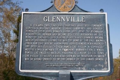
At its apex this town had collegiate institutes, finishing schools, a military academy, classic churches and stately homes. In 1854 John Bowles Glenn left here to establish a school at Auburn and became its first president of the board of trustees. This school in successive changes became Auburn University. Glennville was the home of the only known lynch mob that bought a newspaper advertisement, acknowledged the deed and published their names. The victim, a convicted murderer,
this page online
Erected 1980 by The Historic Chattahoochee Commission and the Russell County Historical Commission.
Topics. This historical marker is listed in these topic lists: Education • Settlements & Settlers. A significant historical year for this entry is 1835.
Location. 32° 7.975′ N, 85° 10.678′ W. Marker is in Glennville, Alabama, in Russell County. It is on Old Seale Highway (County Road 137) 0.3 miles north of Penny Well Road, on the left when traveling north. Touch for map. Marker is at or near this postal address: Old Seale Highway, Pittsview AL 36871, United States of America. Touch for directions.

Regionally, this marker is in Greater Columbus. It is also in the American South, specifically in the Deep South, and in the Black Belt. Globally, it is in North America, a Gulf of Mexico state, the Western Hemisphere, the Western World, and the Anglosphere. Historically, it finds itself
Photographed by Tim & Renda Carr, March 16, 2007
2. Glennville Marker Side B
Other nearby markers. At least 8 other markers are within 11 miles of this marker, measured as the crow flies: May 28th Celebration (approx. 7.7 miles away); Battle of Shepherd’s Plantation (approx. 8.4 miles away in Georgia); Florence (approx. 8½ miles away in Georgia); Villula (approx. 8.9 miles away); Fort McCreary – 1836 (approx. 9.7 miles away in Georgia); Fort Jones (approx. 9.7 miles away in Georgia); Spring Hill United Methodist Church (approx. 10.1 miles away); Unknown Soldiers (approx. 10.2 miles away).
Other markers no longer nearby. Braxton Bragg Comer (was approx. 9.7 miles away but has been confirmed missing); Roanoke (was approx. 10.1 miles away in Georgia but has been confirmed missing).
Photographed by Stanley and Terrie Howard, June 3, 2009
3. Glennville Marker
Photographed by Tim & Renda Carr, March 16, 2007
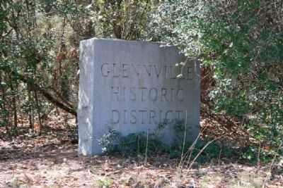
4. Glennville Historic District Marker
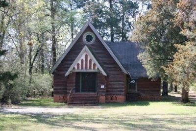
Photographed by Tim & Renda Carr, March 16, 2007
5. Church in the Glennville Historic District
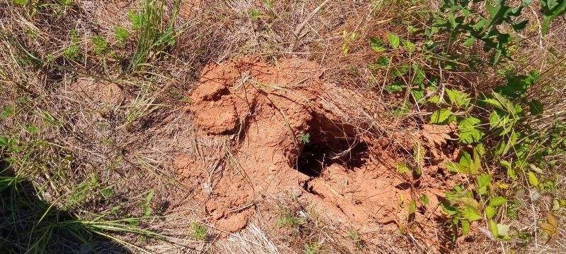
Photographed by James L.Whitman, June 12, 2024
6. Glennville Marker
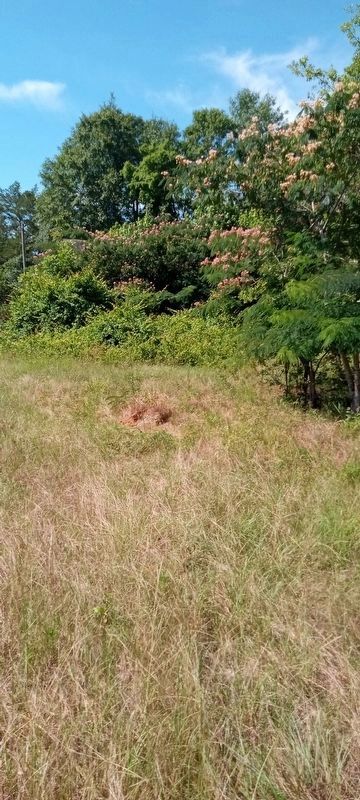
Photographed by James L.Whitman, June 12, 2024
7. Glennville Marker
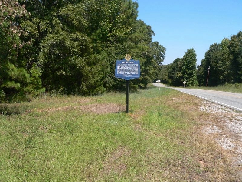
Photographed by James L.Whitman, September 14, 2025
8. Glennville Marker
Credits. This page was last revised on September 14, 2025. It was originally submitted on June 7, 2009, by Stanley and Terrie Howard of Greer, South Carolina. This page has been viewed 3,108 times since then and 92 times this year. Last updated on September 14, 2025, by James L.Whitman of Eufaula, Alabama. Photos: 1, 2. submitted on November 1, 2010, by Timothy Carr of Birmingham, Alabama. 3. submitted on June 7, 2009, by Stanley and Terrie Howard of Greer, South Carolina. 4, 5. submitted on November 1, 2010, by Timothy Carr of Birmingham, Alabama. 6, 7. submitted on June 12, 2024, by James L.Whitman of Eufaula, Alabama. 8. submitted on September 14, 2025, by James L.Whitman of Eufaula, Alabama. • James Hulse was the editor who published this page.
