
Thorold in Niagara Region, Ontario — Central Canada (North America)
Dominion Government Building 1936
Photographed by Kevin Westell, September 14, 2025
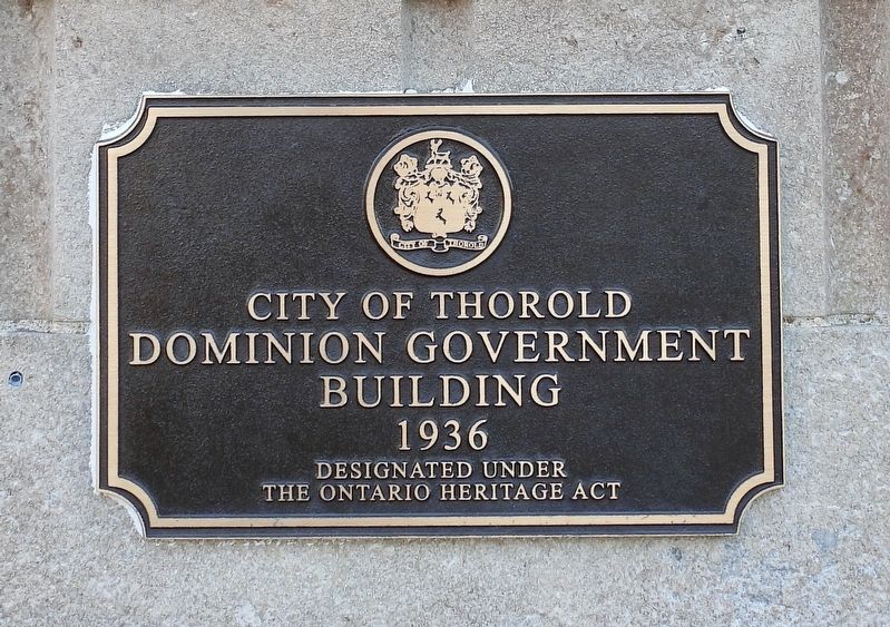
1. Dominion Government Building 1936 - Marker
THIS marker is mounted just below a more recent and more informative marker.
City of Thorold
Dominion Government Building 1936
Designated under the Ontario Heritage Act
Erected by City of Thorold.
Topics. This historical marker is listed in this topic list: Government & Politics. A significant historical year for this entry is 1936.
Location. 43° 7.537′ N, 79° 12.038′ W. Marker is in Thorold, Ontario, in Niagara Region. It is at the intersection of Front Street North and McArthur Lane, on the right when traveling north on Front Street North. Touch for map. Marker is at or near this postal address: 18 Front Street N, Thorold ON L2V 1X4, Canada. Touch for directions.

Regionally, this marker is on Ontario’s Golden Horseshoe and in Niagara Canada. It is also in Central Canada. Globally, it is in North America, the Western Hemisphere, the Western World, and the Anglosphere. Historically, it finds itself in what was once a British colony, the Viceroyalty of New France, the Haudenosaunee (Iroquois) Confederacy, and Rupert’s Land.
Other nearby markers. At least 8 other markers are within walking distance of this marker: Dominion Government Building (here, next to this marker);
this page online
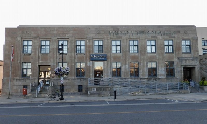
Regarding Dominion Government Building 1936. This building was one of 240+ federal buildings built in the 1930s as a depression make-work project. In addition to the post office, it also housed a customs office.
Photographed by Kevin Westell, September 14, 2025
2. Dominion Government Building
Photo faces east across Front Street. The marker is beside the north-most (left-most) of the building's street entrances.
Credits. This page was last revised on September 15, 2025. It was originally submitted on September 14, 2025, by Kevin Westell of St. Catharines, Ontario. This page has been viewed 60 times since then and 11 times this year. Photos: 1, 2. submitted on September 14, 2025, by Kevin Westell of St. Catharines, Ontario. • Andrew Ruppenstein was the editor who published this page.
