
Near Bozeman in Gallatin County, Montana — The American West (Mountains)
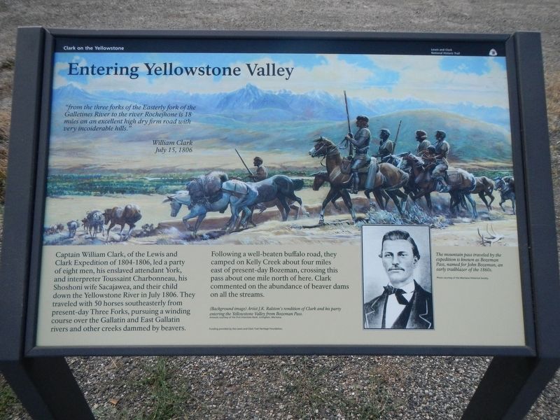
Entering the Yellowstone Valley
Lewis and Clark National Historic Trail
| — | National Park Service, U.S. Department of the Interior | — |
Photographed by Barry Swackhamer, August 4, 2022
1. Entering the Yellowstone Valley Marker
Captions: (background image) Artist J.K. Ralston's rendition of Clark and party entering the Yellowstone Valley from Bozeman Pass.; (image, , lower right) The mountain pass traveled by the expedition is known as Bozeman Pass, named for John Bozeman, and early trailblazer of the 1860s.
"from the three forks of the Easterly fork of the Galletines River to the river Rochejhone is 18 miles on an excellent high dry firm road the very incoiderable hills." William Clark, July 15, 1806
Captain William Clark, of the Lewis and Clark Expedition of 1804-1806, lead a party of eight men, his enslaved attendant York, and interpreter Toussaint Charbonneau, his Shoshoni wife Sacajawea, and their child down the Yellowstone River in July 1806. They traveled with 50 horses southeasterly from present-day Three Forks, pursuing a winding course over the Gallatin and East Gallatin rivers and other creeks dammed by beaver.
Following a well-beaten buffalo road, they camped on Kelly Creek about four miles was to present-day Bozeman, crossing this pass about one mile north of here. Clark commented on the abundance of beaver dams on all streams.
Erected by National Park Service, U.S. Department of the Interior.
Topics and series. This historical marker is listed in this topic list: Exploration. In addition, it is included in the Lewis & Clark Expedition series list. A significant historical date for this entry is July 15, 1806.
Location. 45° 40.012′ N,
this page online

Regionally, this marker is in Montana’s Yellowstone Country. It is also in the American Mountain West and in the Lewis & Clark Corridor. Globally, it is in North America, the Rocky Mountains, the Western Hemisphere, the Western World, and the Anglosphere. Historically, it finds itself in what was once Rupert’s Land and also the Louisiana Purchase.
Other nearby markers. At least 6 other markers are within 9 miles of this marker, measured as the crow flies: Bozeman Pass (about 300 feet away, measured in a direct line); Malmborg School (approx. 1½ miles away); Legacy of Lewis and Clark: Opening the Yellowstone Corridor (approx. 5.2 miles away); Captain Clark and the Corps of Discovery on the Yellowstone (approx. 5.2 miles away); Fort Ellis (approx. 8.1 miles away); The Bozeman Trail (approx. 8.1 miles
Photographed by Barry Swackhamer, August 4, 2022
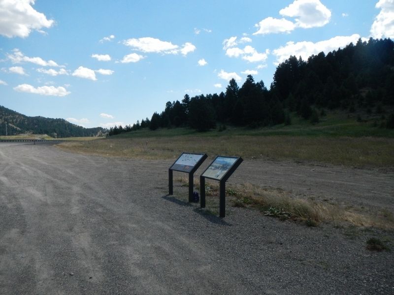
2. Entering the Yellowstone Valley Marker
Photographed by Barry Swackhamer, August 4, 2022
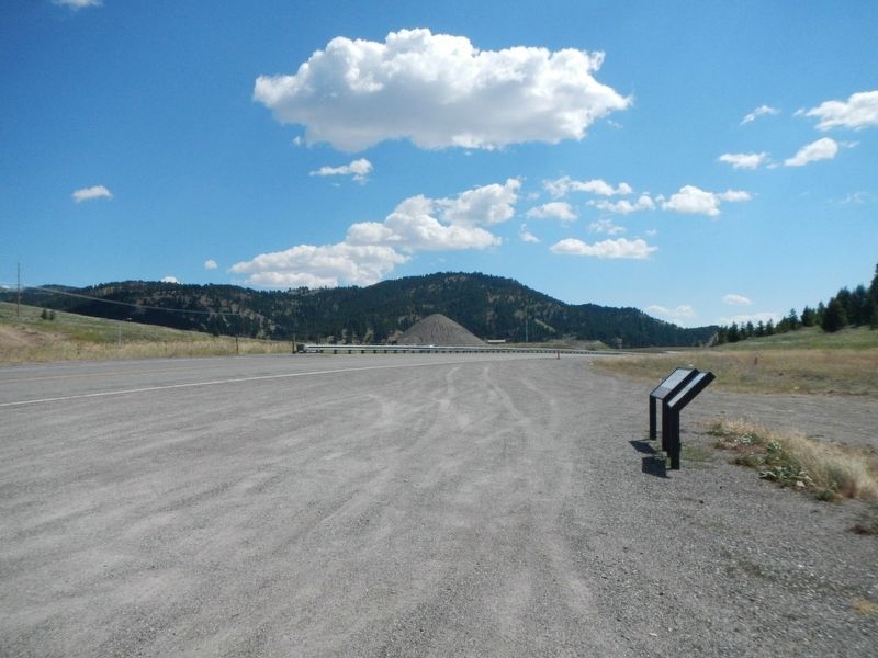
3. Entering the Yellowstone Valley Marker
Bozeman Pass in the background.
Credits. This page was last revised on September 30, 2025. It was originally submitted on September 13, 2022, by Barry Swackhamer of Brentwood, California. This page has been viewed 502 times since then and 54 times this year. Last updated on September 15, 2025, by David Rozzelle of Knoxville, Tennessee. Photos: 1, 2, 3. submitted on September 13, 2022, by Barry Swackhamer of Brentwood, California. • Devry Becker Jones was the editor who published this page.
