Welland in Niagara Region, Ontario — Central Canada (North America)
The Riverside Mill
Buildings & Industries
Photographed by Tim Boyd, November 18, 2024
1. The Riverside Mill Marker
Inscription.
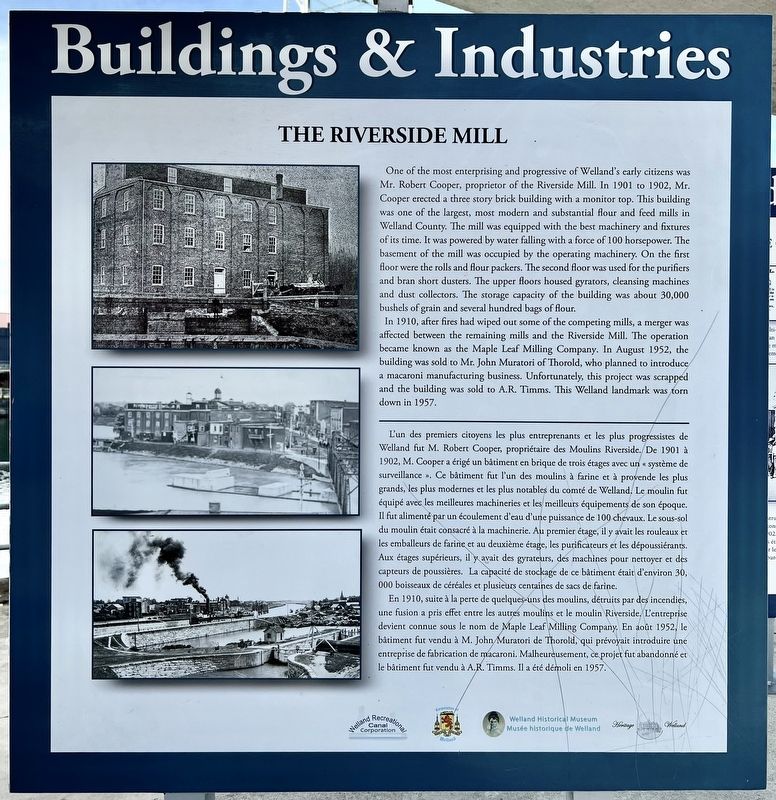
One of the most enterprising and progressive of Welland's early citizens was
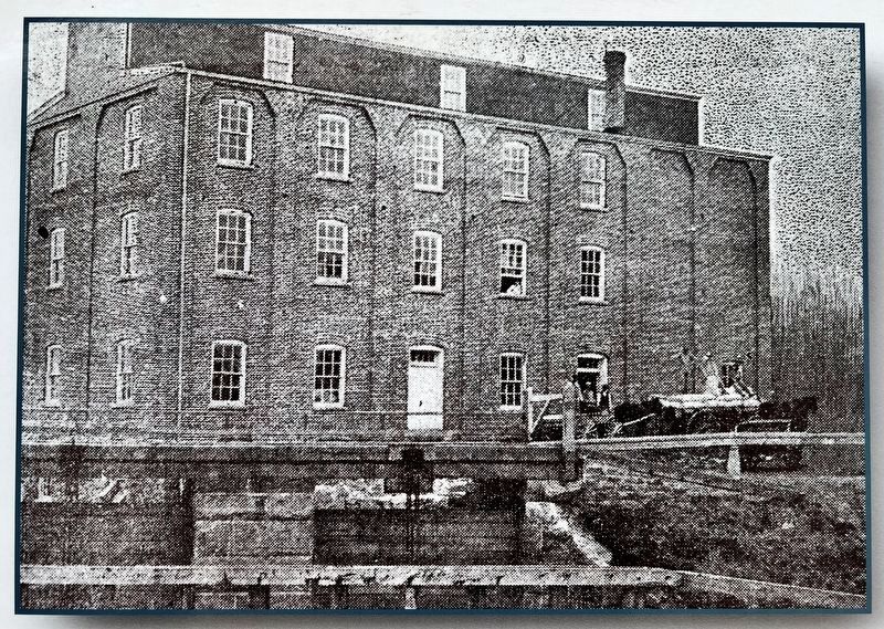
Mr. Robert Cooper, proprietor of the Riverside Mill. In 1901 to 1902, Mr.
Cooper erected a three story brick building with a monitor top. This building was one of the largest, most modern and substantial flour and feed mills in Welland County. The mill was equipped with the best machinery and fixtures of its time. It was powered by water falling with a force of 100 horsepower. The basement of the mill was occupied by the operating machinery. On the first floor were the rolls and flour packers. The second floor was used for the purifiers and bran short dusters. The upper floors housed gyrators, cleansing machines and dust collectors. The storage capacity of the building was about 30,000 bushels of grain and several hundred bags of flour.
In 1910, after fires had wiped out some of the competing mills, a merger was affected between the remaining mills and the Riverside Mill. The operation became known as the Maple Leaf Milling Company. In August 1952, the building was sold to Mr. John Muratori of Thorold, who planned to introduce a macaroni
Click or scan to see this page online
manufacturing business. Unfortunately, this project was scrapped and the building was sold to A.R. Timms. This Welland landmark was torn down in 1957.
L'un des premiers citoyens les plus entreprenants et les plus progressistes de Welland fut M. Robert Cooper, propriétaire des Moulins Riverside. De 1901 à 1902, M. Cooper a érigé un bâtiment en brique de trois étages avec un « système de surveillance ». Ce bâtiment fut l'un des moulins à farine et à provende les plus grands, les plus modernes et les plus notables du comté de Welland. Le moulin fut équipé avec les meilleures machineries et les meilleurs équipements de son époque.
Il fut alimenté par un écoulement d'eau d'une puissance de 100 chevaux. Le sous-sol du moulin était consacré à la machinerie. Au premier étage, il y avait les rouleaux et les emballeurs de farine et au deuxième étage, les purificateurs et les dépoussiérants.
Aux étages supérieurs, il y avait des gyrateurs, des machines pour nettoyer et des capteurs de poussières. La capacité de stockage de ce bâtiment était d'environ 30, 000 boisseaux de céréales et plusieurs centaines de sacs de farine.
En 1910, suite
Photographed by Tim Boyd, November 18, 2024
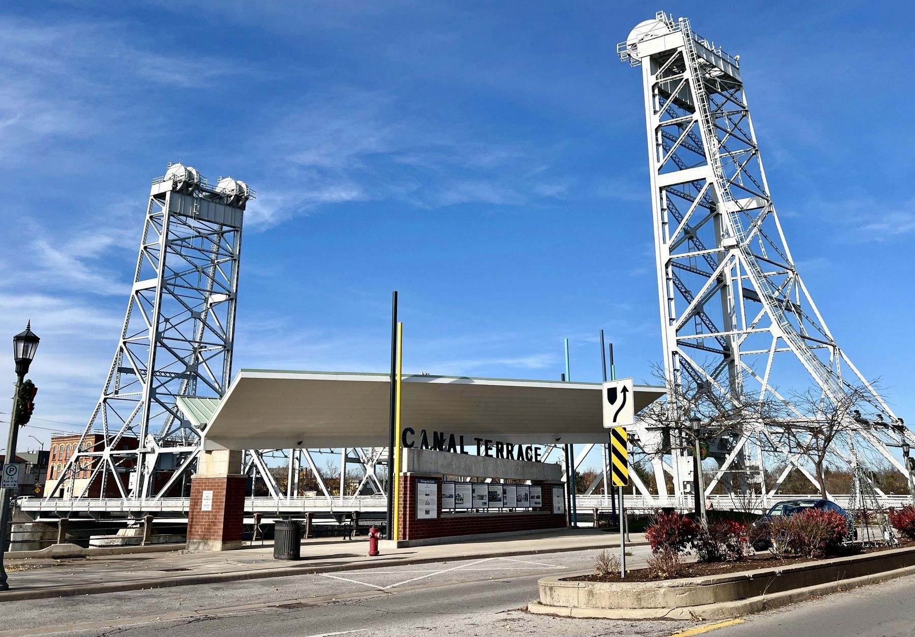
2. The Riverside Mill Marker (centre of photo)
à la perte de quelques-uns des moulins, détruits par des incendies, une fusion a pris effet entre les autres moulins et le moulin Riverside. L'entreprise devient connue sous le nom de Maple Leaf Milling Company. En août 1952, le bâtiment fut vendu à M. John Muratori de Thorold, qui prévoyait introduire une entreprise de fabrication de macaroni. Malheureusement, ce projet fut abandonné et le bâtiment fut vendu à A.R. Timms. Il a été démoli en 1957.
Topics and series. This historical marker is listed in this topic list: Industry & Commerce. In addition, it is included in the The Welland Canals series list. A significant historical year for this entry is 1901.
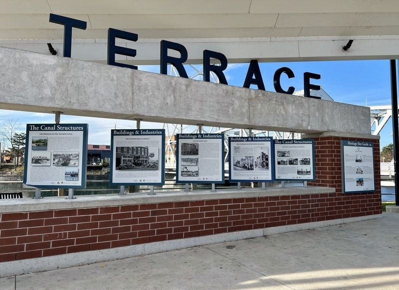
Location. 42° 59.474′ N, 79° 15.056′ W. Marker is in Welland, Ontario, in Niagara Region. It is at the intersection of King Street and East Mail Street, on the right when traveling south on King Street. Touch for map. Marker is at or near this postal address: 35 King Street, Welland ON L3B 3H9, Canada. Touch for directions.
Regionally, this marker is on Ontario’s Golden Horseshoe and in Niagara Canada. It is also in Central Canada. Globally, it is in North America,
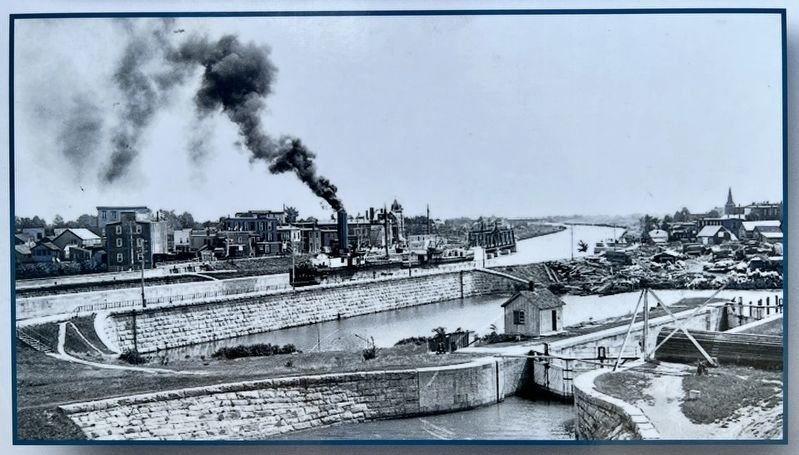
3. The Riverside Mill marker photo detail
on the Great Lakes, in the Western Hemisphere, in the Western World, and in the Anglosphere. Historically, it finds itself in what was once a British colony, the Viceroyalty of New France, the Haudenosaunee (Iroquois) Confederacy, and Rupert’s Land.
Credits. This page was last revised on September 23, 2025. It was originally submitted on November 20, 2024, by Tim Boyd of Hamilton, Ontario. This page has been viewed 180 times since then and 25 times this year. Last updated on September 16, 2025, by Kevin Westell of St. Catharines, Ontario. Photos:1, 2, 3, 4, 5, 6. submitted on November 20, 2024, by Tim Boyd of Hamilton, Ontario. • Devry Becker Jones was the editor who published this page.