Pawhuska in Osage County, Oklahoma — The American South (West South Central)
The Swinging Bridge
Photographed by James Hulse, September 12, 2025
1. The Swinging Bridge Marker
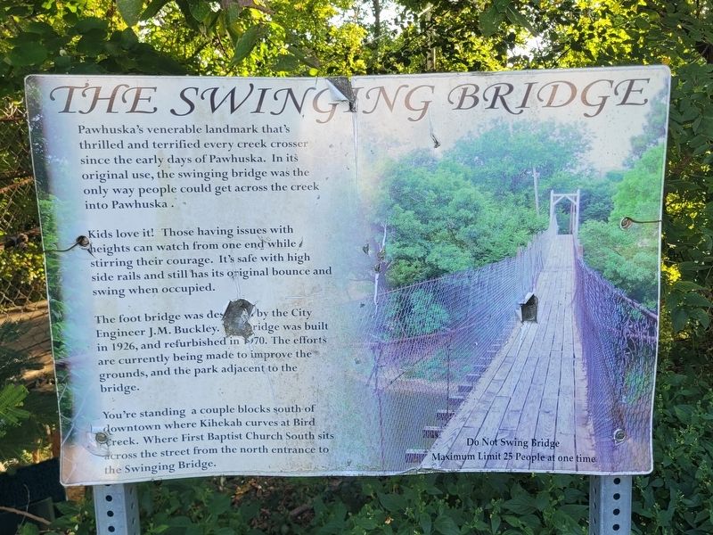
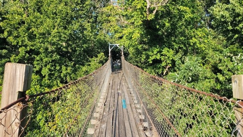
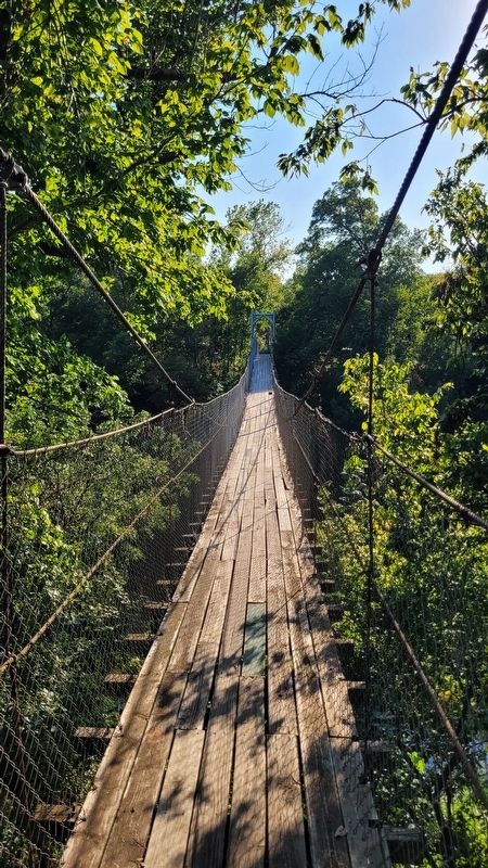
Kids love it! Those having issues with heights can watch from one end while stirring their courage. It's safe with high side rails and still has its original bounce and swing when occupied.
The foot bridge was designed City Engineer J.M. Buckley. The bridge was built in 1926, and refurbished in 1970. The efforts are currently being made to improve the grounds, and the park adjacent to the bridge.
You're standing a couple blocks south of downtown where Kihekah curves at Bird Creek. Where First Baptist Church South sits across the street from the north entrance to the Swinging Bridge.
Do Not Swing Bridge Maximum Limit 25 People at one time
Topics. This historical marker is listed in this topic list: Bridges & Viaducts. A significant historical year for this entry is 1926.
Location. 36° 39.558′ N, 96° 20.464′ W. Marker is in Pawhuska, Oklahoma, in Osage County. It is at the intersection of Kihekah
this page online

Regionally, this marker is in the Osage Nation, in Northeast Oklahoma—Green Country, and in Greater Tulsa. It is also in the American South, specifically on the prairies, and on the Southern Plains. Globally, it is in North America, the Western Hemisphere, the Western World, and the Anglosphere. Historically, it finds itself in what was once the territory of the Mississippian Culture and also the Louisiana Purchase.
Other nearby markers. At least 8 other markers are within walking distance of this marker: Site of the First Osage Agency Building (approx. 0.3 miles away); Blacksmith Home (approx. 0.3 miles away); "Osage in the Enemy Camp" (approx. 0.3 miles away); Vernon Whiting (approx. half a mile away); An Answer To Prayer (approx. half a mile away); Restoring the Whiting Apartments (approx. half a mile away); "Million Dollar Elm" (approx. half
Photographed by James Hulse, September 12, 2025
2. The Swinging Bridge Marker
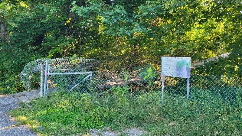
The view of the north entrance to the bridge.

Photographed by James Hulse, September 12, 2025
3. The Swinging Bridge
Photographed by James Hulse, September 12, 2025
4. The Swinging Bridge Marker
Photographed by James Hulse, September 12, 2025
5. The Swinging Bridge Marker
Credits. This page was last revised on September 17, 2025. It was originally submitted on September 17, 2025, by James Hulse of Medina, Texas. This page has been viewed 190 times since then and 81 times this year. Photos: 1, 2, 3, 4, 5. submitted on September 17, 2025, by James Hulse of Medina, Texas.
