Bartlesville in Washington County, Oklahoma — The American South (West South Central)
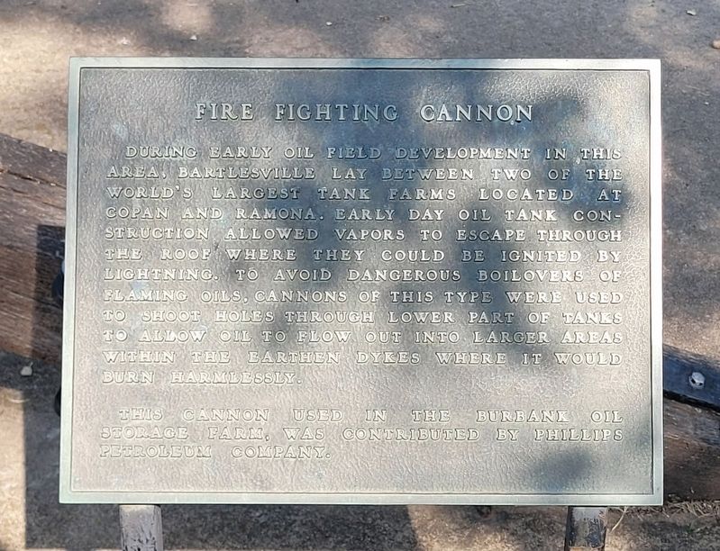
Fire Fighting Cannon
Photographed by James Hulse, September 13, 2025
1. Fire Fighting Cannon Marker
This cannon used in the Burbank Oil Storage Farm, was contributed by Phillips Petroleum Company.
Topics. This historical marker is listed in this topic list: Industry & Commerce.
Location. 36° 45.362′ N, 95° 58.386′ W. Marker is in Bartlesville, Oklahoma, in Washington County. It is on North Cherokee Avenue 0.1 miles north of 1st Drive, on the left when traveling north. The marker is located at the Johnstone Park. Touch for map. Marker is at or near this postal address: 100 N Cherokee Ave, Bartlesville OK 74003, United States of America. Touch for directions.

Regionally, this marker is in the Cherokee
this page online
Other nearby markers. At least 8 other markers are within walking distance of this marker: Nellie Johnstone No. 1 (within shouting distance of this marker); Coffeyville Refinery (within shouting distance of this marker); Information (within shouting distance of this marker); Hulah Santa Fe Depot (within shouting distance of this marker); Low-Water Dam Fueled Local Industry and Recreation (approx. 0.2 miles away); Depression-Era New Deal Programs and Bridge Construction (approx. 0.2 miles away); Bridge Design Included Unique Engineering Features (approx. 0.2 miles away); Building the City of Legends (approx. half a mile away). Touch for a list and map of all markers in Bartlesville.
Photographed by James Hulse, September 13, 2025
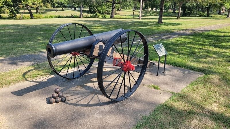
2. Fire Fighting Cannon and Marker
Photographed by James Hulse, September 13, 2025
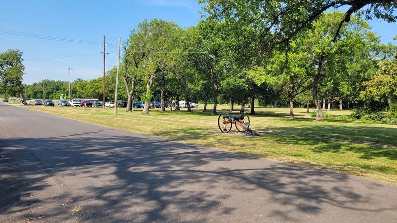
3. The view of the Fire Fighting Cannon and Marker from the park
Credits. This page was last revised on September 17, 2025. It was originally submitted on September 17, 2025, by James Hulse of Medina, Texas. This page has been viewed 68 times since then and 26 times this year. Photos: 1, 2, 3. submitted on September 17, 2025, by James Hulse of Medina, Texas.
