Bartlesville in Washington County, Oklahoma — The American South (West South Central)
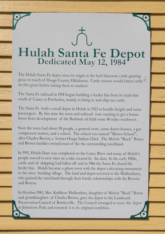
Hulah Santa Fe Depot
Dedicated May 12, 1984
Photographed by James Hulse, September 13, 2025
1. Hulah Santa Fe Depot Marker
The Santa Fe railroad in 1918 began building a feeder line from its main line south of Caney to Pawhuska, mainly to bring in and ship out cattle.
The Santa Fe built a small depot in Hulah in 1923 to handle freight and some passengers. By this time the town and railroad were starting to get a bonus boost from development of the Burbank oil field some 40 miles southwest.
Soon the town had about 50 people, a general store, some dozen houses, a gas compressor station, and a school. The school was named "Brown School", after Charles Brown, a former Osage Indian Chief. The Melvin "Buck" Boren and Brown families owned most of the the surrounding ranchland.
In 1951, Hulah Dam was completed on the Caney River and many of Hulah's people moved to new sites on a lake created by the dam. In the early 1960s, cattle and oil shipping had fallen off and in 1966 the Santa Fe closed the feeder line. Hulah became a ghost town with the
this page online
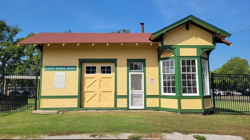
In October 1983, Mrs. Kathleen Mullendore, daughter of Melvin "Buck" Boren and granddaughter of Charles Brown, gave the depot to the Landmark Preservation Council of Bartlesville. The Council arranged to move the depot to Johnstone Park and restored it to its original condition.
Topics. This historical marker is listed in this topic list: Railroads & Streetcars. A significant historical month for this entry is October 1983.
Location. 36° 45.327′ N, 95° 58.403′ W. Marker is in Bartlesville, Oklahoma, in Washington County. It is on North Dewey Avenue 0.1 miles 1st Drive, on the left when traveling north. The marker is located at the Johnstone Park. Touch for map. Marker is at or near this postal address: 198 N Dewey Ave, Bartlesville OK 74003, United States of America. Touch for directions.

Regionally, this marker is in the Cherokee Nation and in Northeast Oklahoma—Green Country. It is also in the American South, specifically in the Ozarks, on the
Photographed by James Hulse, September 13, 2025
2. Hulah Santa Fe Depot Marker
Other nearby markers. At least 8 other markers are within walking distance of this marker: Coffeyville Refinery (within shouting distance of this marker); Fire Fighting Cannon (within shouting distance of this marker); Nellie Johnstone No. 1 (within shouting distance of this marker); Information (about 400 feet away, measured in a direct line); Low-Water Dam Fueled Local Industry and Recreation (about 600 feet away); Depression-Era New Deal Programs and Bridge Construction (about 700 feet away); Bridge Design Included Unique Engineering Features (about 700 feet away); Building the City of Legends (approx. 0.4 miles away). Touch for a list and map of all markers in Bartlesville.
Photographed by James Hulse, September 13, 2025
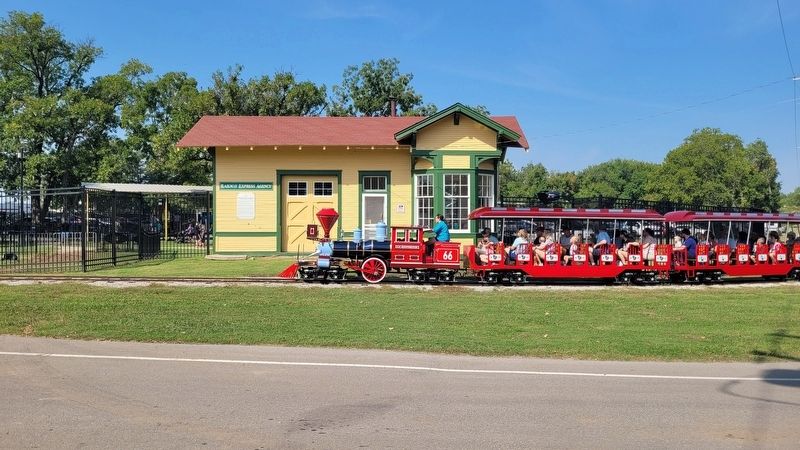
3. The view of the train in front of the Hulah Santa Fe Depot
Credits. This page was last revised on September 17, 2025. It was originally submitted on September 17, 2025, by James Hulse of Medina, Texas. This page has been viewed 90 times since then and 34 times this year. Photos: 1, 2, 3. submitted on September 17, 2025, by James Hulse of Medina, Texas.
