
Near Marshall in Kingfisher County, Oklahoma — The American South (West South Central)
Sheridan
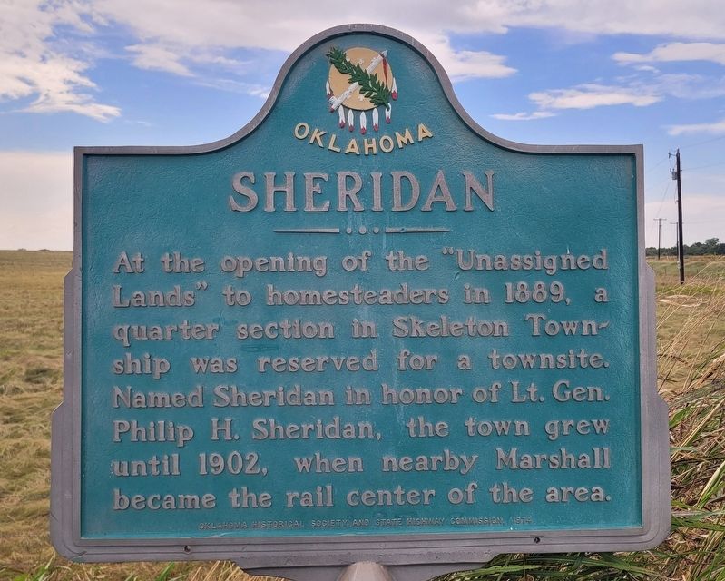
Photographed by James Hulse, September 15, 2025
1. Sheridan Marker
Erected 1974 by Oklahoma Historical Society and State Highway Commission.
Topics. This historical marker is listed in this topic list: Settlements & Settlers. A significant historical year for this entry is 1889.
Location. 36° 6.938′ N, 97° 42.679′ W. Marker is near Marshall, Oklahoma, in Kingfisher County. It is at the intersection of County Road N2970 and State Highway 51, on the right when traveling south on County Road N2970. The marker is located at the corner of the intersection. Touch for map. Marker is at or near this postal address: 4027 N2970 Rd, Marshall OK 73056, United States of America. Touch for directions.

Regionally, this marker is in Central Oklahoma — Frontier Country. It is also in the American South, specifically on the prairies, and on the Southern Plains. Globally, it is in North America, the Western Hemisphere, the
this page online
Other nearby markers. At least 8 other markers are within 11 miles of this marker, measured as the crow flies: Roxana (approx. 2.9 miles away); Original Town Site of Roxana (approx. 3.2 miles away); Massacre of Pat Hennessey (approx. 10½ miles away); Roy V. Cashion (approx. 10½ miles away); First Rural Mail Route (approx. 10½ miles away); Lest We Forget (approx. 10½ miles away); Pat Hennessey (approx. 10½ miles away); Tribute to Patriotism and Valor (approx. 10½ miles away). Touch for a list and map of all markers in Marshall.
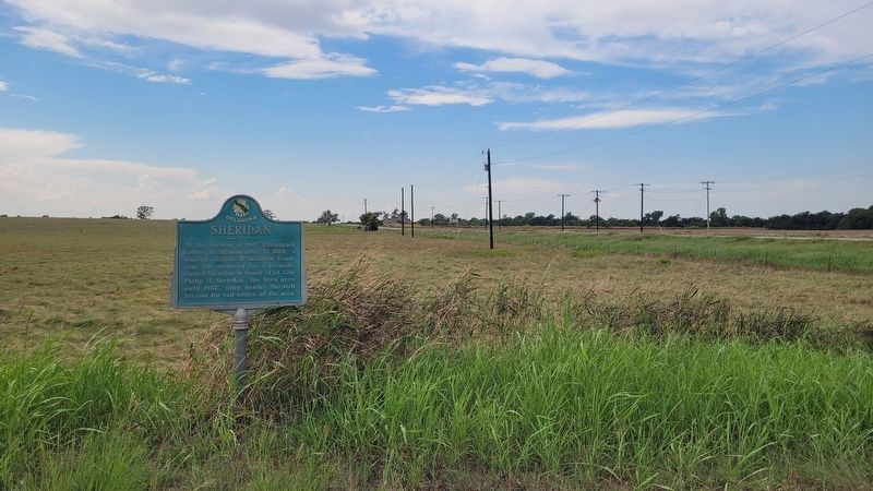
Photographed by James Hulse, September 15, 2025
2. Sheridan Marker
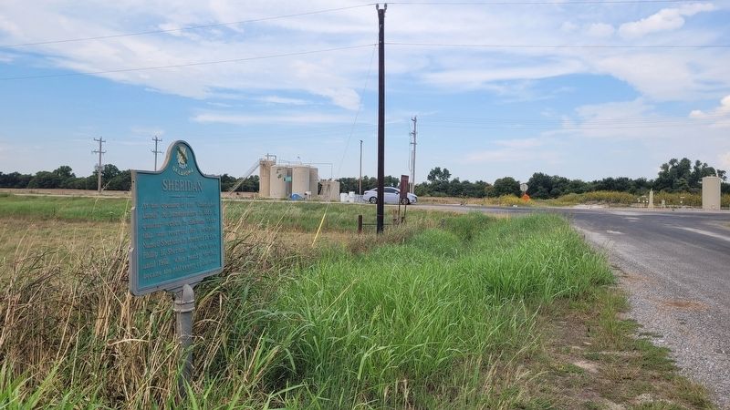
Photographed by James Hulse, September 15, 2025
3. The view of the Sheridan Marker along the street
Credits. This page was last revised on September 18, 2025. It was originally submitted on September 17, 2025, by James Hulse of Medina, Texas. This page has been viewed 67 times since then and 18 times this year. Photos: 1, 2, 3. submitted on September 18, 2025, by James Hulse of Medina, Texas.
