Near Kingfisher in Kingfisher County, Oklahoma — The American South (West South Central)
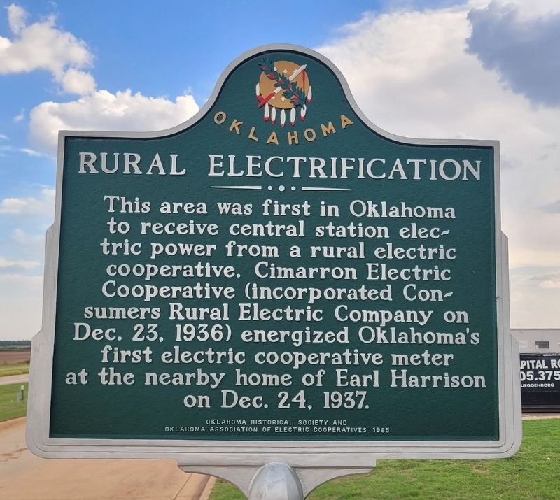
Rural Electrification
Photographed by James Hulse, September 15, 2025
1. Rural Electrification Marker
Erected 1985 by Oklahoma Historical Society and Oklahoma Association of Electric Cooperatives.
Topics. This historical marker is listed in this topic list: Industry & Commerce. A significant historical date for this entry is December 23, 1937.
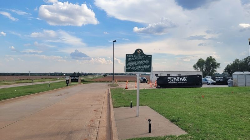
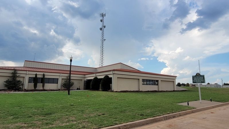
Location. 35° 53.661′ N, 97° 56.019′ W. Marker is near Kingfisher, Oklahoma, in Kingfisher County. It is on U.S. 81 0.2 miles south of County Road E 770, on the right when traveling south. The marker is located in front of the Cimarron Electric Cooperative Service Center. Touch for map. Marker is at or near this postal address: 19306 US-81, Kingfisher OK 73750, United States of America. Touch for directions.

Regionally, this marker is in Northwest Oklahoma — Red Carpet Country and specifically in Central Oklahoma—Frontier Country. It is also in the American South, specifically on
this page online
Other nearby markers. At least 8 other markers are within 3 miles of this marker, measured as the crow flies: Kingfisher (approx. 2.1 miles away); Pioneer Telephone Cooperative, Inc. (approx. 2.1 miles away); Peoples National Bank (approx. 2.1 miles away); "Apostle Paul Sykes" / Lt. Keith Lowry (approx. 2.2 miles away); T.G. & Y. (approx. 2.2 miles away); First Drug Store in Oklahoma (approx. 2.2 miles away); Pappe Building Grand Opera House (approx. 2.2 miles away); Bracken Building Downtown Hospital (approx. 2.3 miles away). Touch for a list and map of all markers in Kingfisher.
Photographed by James Hulse, September 15, 2025
2. Rural Electrification Marker
Photographed by James Hulse, September 15, 2025
3. The view of the marker in front of the Cimarron Electric Cooperative Service Center
Credits. This page was last revised on September 19, 2025. It was originally submitted on September 18, 2025, by James Hulse of Medina, Texas. This page has been viewed 78 times since then and 24 times this year. Photos: 1, 2, 3. submitted on September 19, 2025, by James Hulse of Medina, Texas.
