Bartlesville in Washington County, Oklahoma — The American South (West South Central)
Depression-Era New Deal Programs and Bridge Construction
Photographed by James Hulse, September 13, 2025
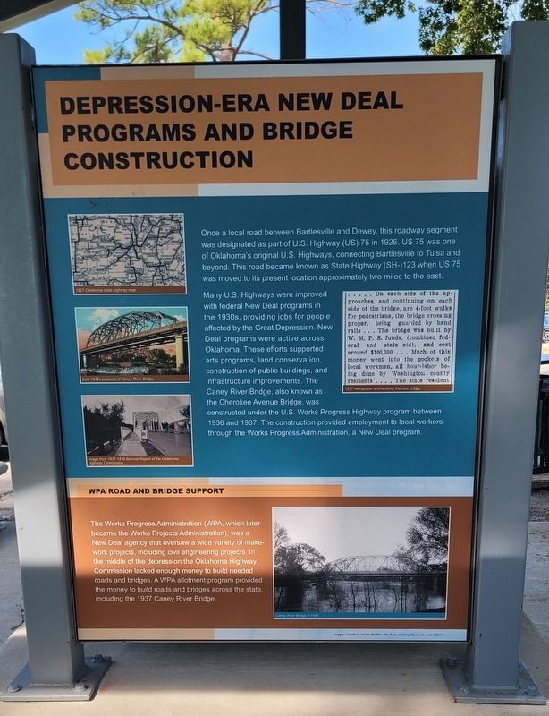
1. Depression-Era New Deal Programs and Bridge Construction Marker
Many U.S. Highways were improved with federal New Deal programs in the 1930s, providing jobs for people affected by the Great Depression. New Deal programs were active across Oklahoma. These efforts supported arts programs, land conservation, construction of public buildings, and infrastructure improvements. The Caney River Bridge, also known as the Cherokee Avenue Bridge, was constructed under the U.S. Works Progress Highway program between 1936 and 1937. The construction provided employment to local workers through the Works Progress Administration, a New Deal program.
WPA Road and Bridge Support
The Works Progress Administration (WPA, which later became the Works Projects Administration), was a New Deal agency that oversaw a wide variety of make-work projects, including
this page online
Captions
(Photo #1) 1927 Oklahoma state highway map.
(Photo #2) Late 1930s postcard of Caney River Bridge.
(Photo #3) Image from 1937-1938 Biennial Report of the Oklahoma Highway Commission.
(Photo #4) 1937 newspaper article about the new bridge.
(Photo #5) Caney River Bridge in 1941.
Erected by Bartlesville Area History Museum and ODOT.
Topics. This historical marker is listed in this topic list: Bridges & Viaducts. A significant historical year for this entry is 1926.
Location. 36° 45.226′ N, 95° 58.356′ W. Marker is in Bartlesville, Oklahoma, in Washington County. It is at the intersection of North Cherokee Avenue and 1st Drive, on the right when traveling north on North Cherokee Avenue. The marker is located at a small covered patio in Johnstone Park. Touch for map. Marker is at or near this postal address: 200 N Cherokee Ave, Bartlesville OK
Photographed by James Hulse, September 13, 2025
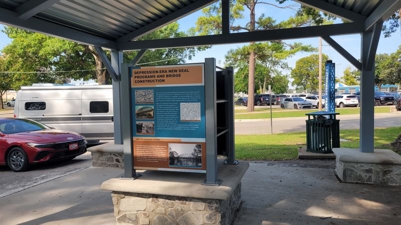
2. The view of the marker under the patio

Regionally, this marker is in the Cherokee Nation and in Northeast Oklahoma—Green Country. It is also in the American South, specifically in the Ozarks, on the prairies, and on the Southern Plains. Globally, it is in North America, the Western Hemisphere, the Western World, and the Anglosphere. Historically, it finds itself in what was once the territory of the Mississippian Culture and also the Louisiana Purchase.
Other nearby markers. At least 8 other markers are within walking distance of this marker: Bridge Design Included Unique Engineering Features (here, next to this marker); Low-Water Dam Fueled Local Industry and Recreation (here, next to this marker); Hulah Santa Fe Depot (about 700 feet away, measured in a direct line); Coffeyville Refinery (about 700 feet away); Nellie Johnstone No. 1 (about 800 feet away); Fire Fighting Cannon (approx. 0.2 miles away); Information (approx. 0.2 miles away); Building the City of Legends (approx. 0.3 miles away). Touch for a list and map of all markers in Bartlesville.
Credits. This page was last revised on September 21, 2025. It was originally submitted on September 21, 2025, by James Hulse of Medina, Texas. This page has been viewed 92 times since then and 38 times this year. Photos: 1, 2. submitted on September 21, 2025, by James Hulse of Medina, Texas.
