Bartlesville in Washington County, Oklahoma — The American South (West South Central)
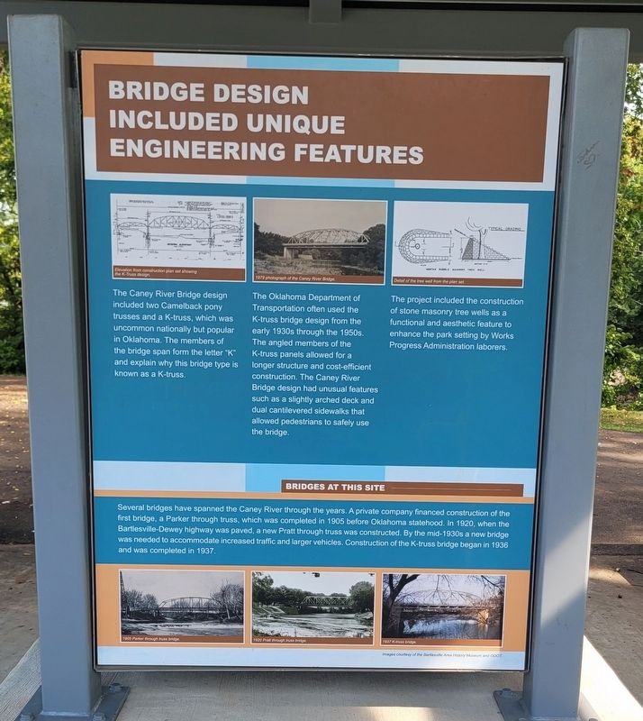
Bridge Design Included Unique Engineering Features
Photographed by James Hulse, September 13, 2025
1. Bridge Design Included Unique Engineering Features Marker
The Oklahoma Department of Transportation often used the K-truss bridge design from the early 1930s through the 1950s. The angled members of the K-truss panels allowed for a longer structure and cost-efficient construction. The Caney River Bridge design had unusual features such as a slightly arched deck and dual cantilevered sidewalks that allowed pedestrians to safely use the bridge.
The project included the construction of stone masonry tree wells as a functional and aesthetic feature to enhance the park setting by Works Progress Administration laborers.
Bridges at This Site
Several bridges have spanned the Caney River through the years. A private company financed construction of the first bridge, a Parker through truss, which was completed in 1905 before Oklahoma statehood. In 1920, when the Bartlesville-Dewey highway was paved, a new Pratt through truss was constructed.
this page online
Captions
(Photo #1) Elevation from construction plan set showing the K-Truss design.
(Photo #2) 1979 photograph of the Caney River Bridge.
(Photo #3) Detail of the tree well from the plan set.
(Photo #4) 1905 Parker through truss bridge.
(Photo #5) 1920 Pratt through truss bridge.
(Photo #6) 1937 K-truss bridge.
Erected by Bartlesville Area History Museum and ODOT.
Topics. This historical marker is listed in this topic list: Bridges & Viaducts. A significant historical year for this entry is 1905.
Location. 36° 45.225′ N, 95° 58.357′ W. Marker is in Bartlesville, Oklahoma, in Washington County. It is at the intersection of North Cherokee Avenue and 1st Drive, on the right when traveling north on North Cherokee Avenue. The marker is located at a small covered patio in Johnstone Park. Touch for map. Marker is at or near this postal address: 200 N Cherokee Ave, Bartlesville OK 74003, United States of America. Touch for directions.

Regionally, this marker
Photographed by James Hulse, September 13, 2025
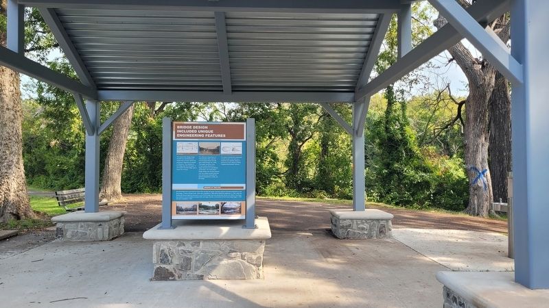
2. The view of the marker under the patio
Other nearby markers. At least 8 other markers are within walking distance of this marker: Depression-Era New Deal Programs and Bridge Construction (here, next to this marker); Low-Water Dam Fueled Local Industry and Recreation (here, next to this marker); Hulah Santa Fe Depot (about 700 feet away, measured in a direct line); Coffeyville Refinery (about 700 feet away); Nellie Johnstone No. 1 (approx. 0.2 miles away); Fire Fighting Cannon (approx. 0.2 miles away); Information (approx. 0.2 miles away); Building the City of Legends (approx. 0.3 miles away). Touch for a list and map of all markers in Bartlesville.
Credits. This page was last revised on September 21, 2025. It was originally submitted on September 21, 2025, by James Hulse of Medina, Texas. This page has been viewed 99 times since then and 50 times this year. Photos: 1, 2. submitted on September 21, 2025, by James Hulse of Medina, Texas.
