Near Davis in Garvin County, Oklahoma — The American South (West South Central)
Fort Arbuckle
Photographed by James Hulse, September 19, 2025
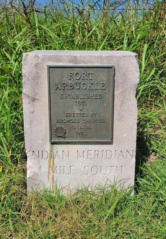
1. Fort Arbuckle Marker
Erected by Ardmore Chapter, D.A.R. 1930
Carved on stone
Indian Meridian 1 Mile South
Erected 1930 by Daughters of the American Revolution.
Topics and series. This historical marker is listed in this topic list: Forts and Castles. In addition, it is included in the Daughters of the American Revolution (DAR) series list. A significant historical year for this entry is 1851.
Location. 34° 31.291′ N, 97° 14.858′ W. Marker is near Davis, Oklahoma, in Garvin County. It is at the intersection of State Highway 7 and Indian Meridian Road, on the right when traveling west on State Highway 7. The marker is located along the highway at an intersection. Touch for map. Marker is at or near this postal address: 32968 Indian Meridian Rd, Davis OK 73030, United States of America. Touch for directions.

Regionally, this marker is in the Chickasaw Nation and in South Central Oklahoma—Chickasaw Country. It is also in the American South, specifically on the prairies, and on the Southern Plains. Globally, it is in North America, the Western Hemisphere, the Western World, and the Anglosphere. Historically,
this page online
Other nearby markers. At least 2 other markers are within 9 miles of this marker, measured as the crow flies: Hutchins & Sons Furniture & Undertaking (approx. 7.3 miles away); Oklahoma, Where Reflection Seismograph Was Born (approx. 8.7 miles away).
Photographed by James Hulse, September 19, 2025
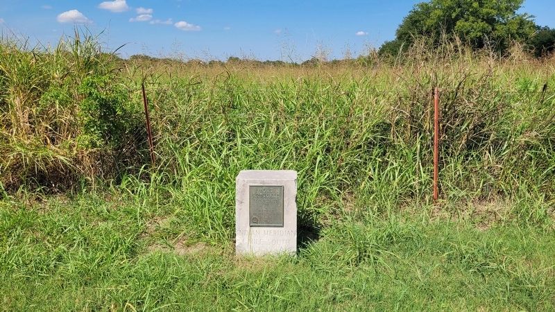
2. The view of the Fort Arbuckle Marker up against the fence
Photographed by James Hulse, September 19, 2025
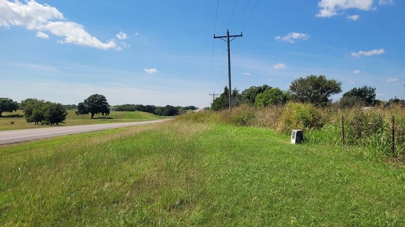
3. The view of the Fort Arbuckle Marker along the highway
Credits. This page was last revised on September 24, 2025. It was originally submitted on September 23, 2025, by James Hulse of Medina, Texas. This page has been viewed 120 times since then and 72 times this year. Photos: 1, 2, 3. submitted on September 24, 2025, by James Hulse of Medina, Texas.
