Demopolis in Marengo County, Alabama — The American South (East South Central)
Downtown Demopolis
⎯⎯⎯
Demopolis
The People’s City
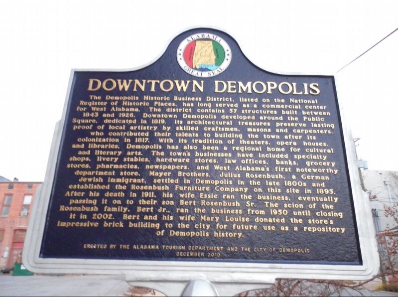
Photographed by Jimmy Emerson
1. Downtown Demopolis Marker
this page online
Reverse Side
Demopolis was destined for commercial success and a diverse population due to its prime location in the fork of the Black Warrior and Tombigbee rivers. River transportation and the railroad positively influenced the town's growth. French colonists founded Demopolis in 1817. They created a spirited town that welcomed European merchants including Germans of Jewish faith and American planters from states on the country's eastern coast. The hard labor of African Americans enabled local cotton businesses to prosper and to construct prominent warehouses on riverbanks where they attracted busy riverboat traffic. The artistry and craftsmanship of enslaved workers are still evident in the city's vintage buildings, homes, and churches. Different nationalities, different religions, and different races have contributed to Demopolis, first envisioned by its French settlers as an American utopia and as a
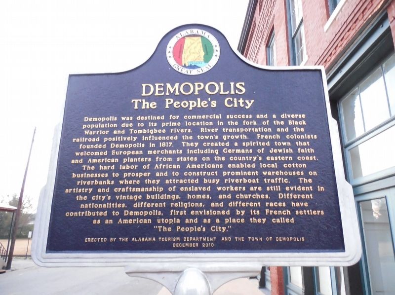
Photographed by Jimmy Emerson
2. Demopolis Marker
The People's City
Erected 2010 by Alabama Tourism Department and the City of Demopolis.
Topics and series. This historical marker is listed in these topic lists: African Americans • Architecture • Industry & Commerce • Settlements & Settlers. In addition, it is included in the Alabama Tourism Department series list. A significant historical month for this entry is December 2010.
Location. 32° 30.998′ N, 87° 50.258′ W. Marker is in Demopolis, Alabama, in Marengo County. It is on North Walnut Avenue north of W Franklin Street, on the right when traveling north. Marker is in front of the Marengo County History Museum. Touch for map. Marker is at or near this postal address: 105 North Walnut Ave, Demopolis AL 36732, United States of America. Touch for directions.

Regionally, this marker is in the American South, specifically in the Deep South, and in the Black Belt. Globally, it is in North America, a Gulf of Mexico state, the Western Hemisphere, the Western World, and the Anglosphere. Historically, it finds itself in what was once New Spain, the territory of the Mississippian Culture, one of
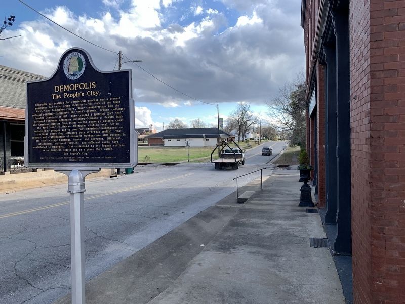
Photographed by Tim Fillmon, December 28, 2025
3. Downtown Demopolis / Demopolis Marker
Other nearby markers. At least 8 other markers are within walking distance of this marker: Alabama Cattlemen’s Association (about 400 feet away, measured in a direct line); The Demopolis Theater District (about 500 feet away); Robertson Banking Company / Mayer Brothers (about 600 feet away); The Demopolis Opera House / Lillian Hellman And (about 600 feet away); Marengo County Confederate Monument (about 700 feet away); First Presbyterian Church (about 800 feet away); "Maison Marengo" (approx. 0.2 miles away); Demopolis Methodist Church (approx. 0.2 miles away). Touch for a list and map of all markers in Demopolis.
Credits. This page was last revised on January 1, 2026. It was originally submitted on September 27, 2025, by Jimmy Emerson of Dalton, Georgia. This page has been viewed 124 times since then and 76 times this year. Photos: 1, 2. submitted on September 27, 2025, by Jimmy Emerson of Dalton, Georgia. 3. submitted on January 1, 2026, by Tim Fillmon of Webster, Florida. • James Hulse was the editor who published this page.
