Uniondale in Nassau County, New York — The American Northeast (Mid-Atlantic)
Mitchel Field
Military Airfield 1917 - 1961
| — | Town of Hempstead Historical Site | — |
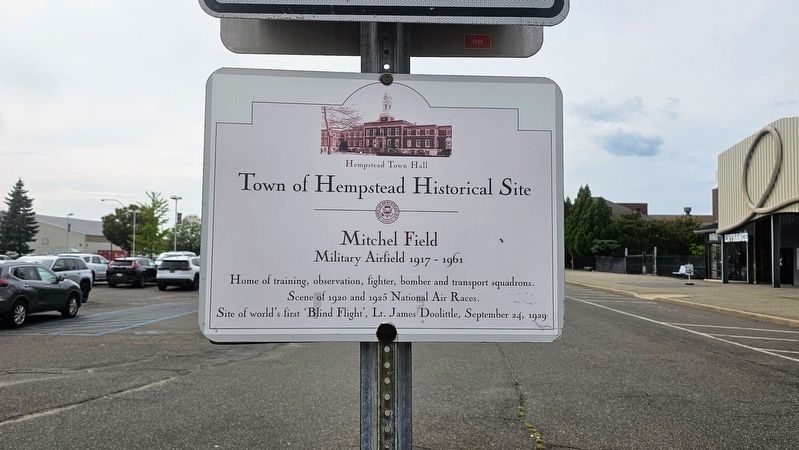
Photographed by Ian Lefkowitz, September 27, 2025
1. Mitchel Field Marker
Town of Hempstead Historical Site
Mitchel Field
Military Airfield 1917 - 1961
Home of training, observation, fighter, bomber and transport squadrons.
Scene of 1920 and 1925 National Air Races.
Site of world's first 'Blind Flight', Lt. James Doolittle, September 24, 1929
Erected by Town of Hempstead.
Topics. This historical marker is listed in these topic lists: Air & Space • War, World I. A significant historical year for this entry is 1917.
Location. 40° 43.686′ N, 73° 35.857′ W. Marker is in Uniondale, New York, in Nassau County. It can be reached from Charles Lindbergh Boulevard west of Library Road West. Touch for map. Marker is at or near this postal address: Charles Lindbergh Boulevard, Uniondale NY 11553, United States of America. Touch for directions.

Regionally, this marker is in the New York City Metropolitan Area and on Long Island. It is also in the American Northeast, in the Mid-Atlantic, and on the Eastern Seaboard. Globally, it is in the North Atlantic Region, North America, the Western Hemisphere, the Western World, and the Anglosphere. Historically, it finds itself in what was
this page online
Other nearby markers. At least 8 other markers are within walking distance of this marker: Lindbergh's Flight (a few steps from this marker); Sally Ride (a few steps from this marker); First Blind Takeoff, Flight and Landing, 1929 (a few steps from this marker); Aviation Field No. 2 (within shouting distance of this marker); Mitchel Field Air Force Base (within shouting distance of this marker); F-14 Tomcat (within shouting distance of this marker); Grumman OV-1B Mohawk (within shouting distance of this marker); a different marker also named F-14 Tomcat (within shouting distance of this marker). Touch for a list and map of all markers in Uniondale.
More about this marker. This marker is one of at least three identical historical markers located within the parking lot of Uniondale's Museum Row.
Also see . . . The History of Mitchel Field.
Mitchel Field continued to grow after World War I and be tween 1929 and 1932 a major new construction program was undertaken. New brick barracks, officers clubs, housing, warehouses, and operations buildings were(Submitted on September 28, 2025, by Ian Lefkowitz of New York, New York.)constructed, as well as eight massive steel and concrete hangars. Much of this construction remains in place today.Photographed by Ian Lefkowitz, September 27, 20252. Mitchel Field MarkerThe reverse side of the marker, designed in the former style of the Town of Hempstead historical markers.
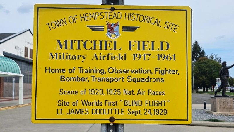
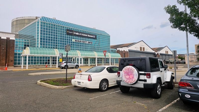
Photographed by Ian Lefkowitz, September 27, 2025
3. Mitchel Field Marker
This historic marker is in front of the Cradle of Aviation Museum. Identical markers may be found at the campus entrance and on a nearby hangar.
Credits. This page was last revised on September 30, 2025. It was originally submitted on September 28, 2025, by Ian Lefkowitz of New York, New York. This page has been viewed 77 times since then and 36 times this year. Photos: 1, 2, 3. submitted on September 28, 2025, by Ian Lefkowitz of New York, New York. • Andrew Ruppenstein was the editor who published this page.
