Klamath in Del Norte County, California — The American West (Pacific Coastal)
Disguised to Protect
Photographed by William Thievon, July 20, 2025
1. Disguised to Protect Marker
Disguised to Protect
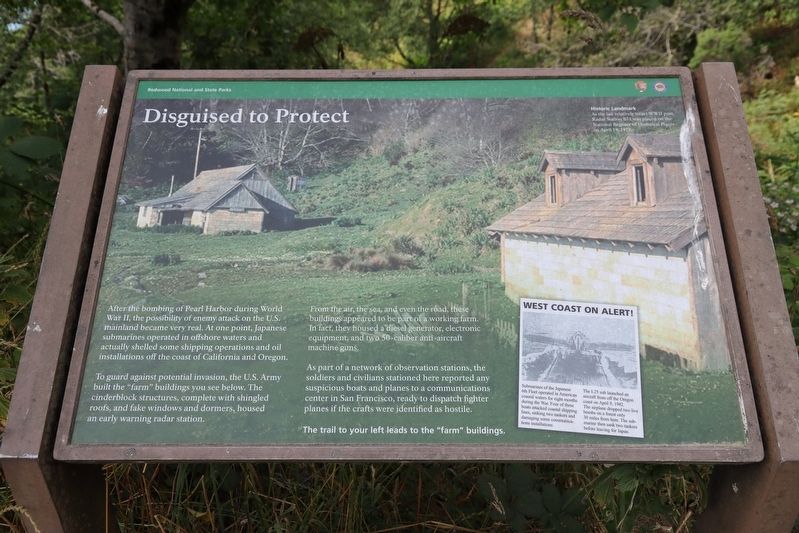
After the bombing of Pearl Harbor during World War II, the possibility of enemy attack on the U.S. mainland became very real. At one point, Japanese submarines operated in offshore waters and actually shelled some shipping operations and oil installations off the coast of California and Oregon.
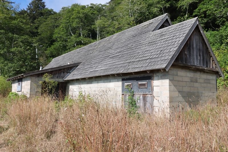
To guard against potential invasion, the U.S. Army built the "farm" buildings you see below. The cinderblock structures, complete with shingled roofs, and fake windows and dormers, housed an early warning radar station.
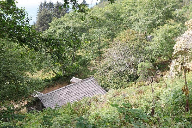
From the air, the sea, and even the road, these buildings appeared to be part of a working farm. In fact, they housed a diesel generator, electronic equipment, and two 50-caliber anti-aircraft machine guns.
As part of a network of observation stations, the soldiers and civilians stationed here reported any suspicious boats and planes to a communications center in San Francisco, ready to dispatch fighter planes if the crafts were identified as hostile. The trail to your left leads to the "farm" buildings.
Erected by National Park Service.
Topics. This historical marker is
this page online
Location. 41° 31.281′ N, 124° 4.708′ W. Marker is in Klamath, California, in Del Norte County. It is on Coastal Drive, on the left when traveling north. Touch for map. Marker is in this post office area: Klamath CA 95548, United States of America. Touch for directions.

Regionally, this marker is in the North Coast, specifically on the Coast Ranges, and in the Klamath Mountains. It is also on the American Pacific Coast and in the Pacific Northwest. Globally, it is in North America, on the Ring of Fire, on the Pacific Rim, in the Western Hemisphere, in the Western World, and in the Anglosphere. Historically, it finds itself in what was once New Spain and also Mexico’s Alta California.
Other nearby markers. At least 8 other markers are within 12 miles of this marker, measured as the crow flies: River on the Rampage (approx. 1.7 miles away); Captain Courageous (approx. 2.2 miles away); The End of the Trail (approx. 4.4 miles away); Fort Terwer (approx. 4.7 miles away); The Redwood Highway (approx. 10.6 miles away); The Forest for the Trees
Photographed by William Thievon, July 20, 2025
2. The "Farm"
More about this marker. West Coast on Alert!
Submarines of the Japanese 6th Fleet operated in American coastal waters for eight months during the War. Four of these boats attacked coastal shipping lines, sinking two tankers and damaging some communications installations. The I-25 sub launched an aircraft from off the Oregon coast on April 9,1942. The airplane dropped two live bombs on a forest only 30 miles from here. The submarine then sank two tankers before leaving for Japan.
Photographed by William Thievon, July 20, 2025
3. The "Farm" from the road
Credits. This page was last revised on September 28, 2025. It was originally submitted on September 28, 2025, by William Thievon of Hofheim am Taunus, Germany. This page has been viewed 63 times since then and 31 times this year. Photos: 1, 2, 3. submitted on September 28, 2025, by William Thievon of Hofheim am Taunus, Germany. • Andrew Ruppenstein was the editor who published this page.
