Lusk in Niobrara County, Wyoming — The American West (Mountains)
The Common Corner to Nebraska and South Dakota on the Wyoming Line
Photographed by Jimmy Emerson
1. Common Corner Marker
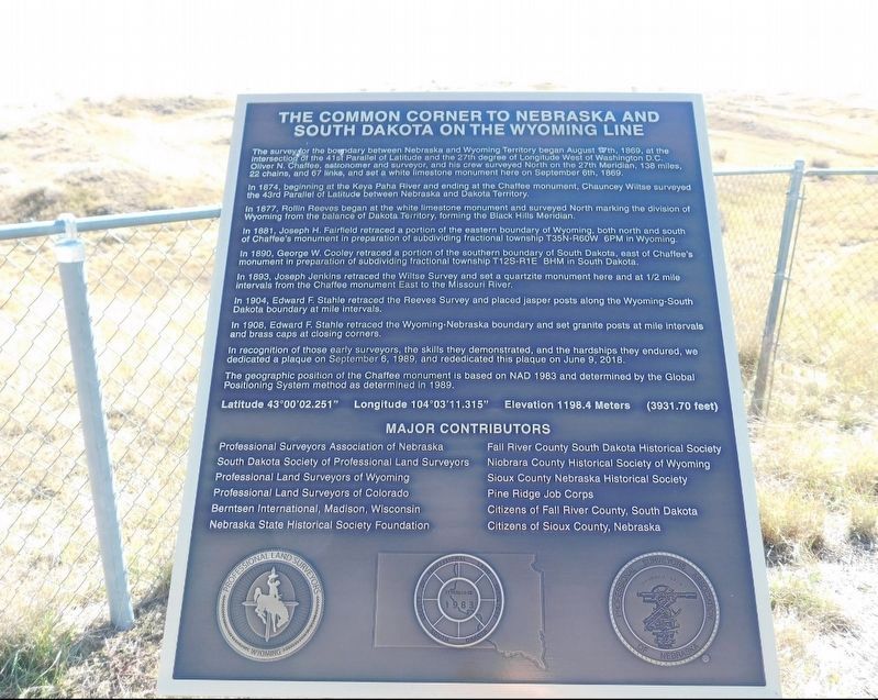
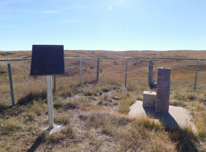
The survey for the boundary between Nebraska and Wyoming Territory began August 17th, 1869, at the intersection of the 41st Parallel of Latitude and the 27th degree of Longitude West of Washington DC. Oliver N. Chaffee, astronomer and surveyor, and his crew surveyed North on the 27th Meridian, 138 miles, 22 chains, and 67 links, and set a white limestone monument here on September 6th, 1869.
In 1874, beginning at the Keya Paha River and ending at the Chaffee monument, Chauncey Wiltse surveyed the 43rd Parallel of Latitude between Nebraska and Dakota Territory.
In 1877, Rollin Reeves began at the white limestone monument and surveyed North marking the division of Wyoming from the balance of Dakota Territory, forming the Black Hills Meridian.
In 1881, Joseph H. Fairfield retraced a portion of the eastern boundary of Wyoming, both north and south of Chaffee's monument in preparation of subdividing fractional township T35N-R60W 6PM in Wyoming.
In 1890, George W. Cooley retraced a portion of the southern boundary of South Dakota, east of Chaffee's monument in preparation of subdividing fractional township T12S-R1E
this page online
In 1893, Joseph Jenkins retraced the Wiltse Survey and set a quartzite monument here and at 1/2 mile intervals from the Chaffee monument East to the Missouri River.
In 1904, Edward F Stahle retraced the Reeves Survey and placed jasper posts along the Wyoming-South Dakota boundary at mile intervals.
In 1908, Edward F. Stahle retraced the Wyoming-Nebraska boundary and set granite posts at mile intervals and brass caps at closing corners.
In recognition of those early surveyors, the skills they demonstrated, and the hardships they endured, we dedicated a plaque on September 6, 1989, and rededicated this plaque on June 9, 2018.
The geographic position of the Chaffee monument is based on NAD 1983 and determined by the Global Positioning System method as determined in 1989.
Latitude 43°00'02.251"
Longitude 104°03'11.315"
Elevation 1198.4 Meters (3931.70 feet)
Major Contributors
Professional Surveyors Association of Nebraska
South Dakota Society of Professional Land Surveyors
Professional Land Surveyors of Wyoming
Professional Land Surveyors of Colorado
Berntsen International, Madison, Wisconsin
Nebraska
Photographed by Jimmy Emerson, Sept 2018
2. Common Corner Marker
Fall River County South Dakota Historical Society
Niobrara County Historical Society of Wyoming
Sioux County Nebraska Historical Society
Pine Ridge Job Corps
Citizens of Fall River County, South Dakota
Citizens of Sioux County, Nebraska
Erected 2018.
Topics. This historical marker is listed in this topic list: Political Subdivisions. A significant historical date for this entry is June 9, 2018.
Location. 43° 0.037′ N, 104° 3.186′ W. Marker is in Lusk, Wyoming, in Niobrara County. It can be reached from Indian Creek Road. Touch for map. Marker is in this post office area: Lusk WY 82225, United States of America. Touch for directions.

Regionally, this marker is in the Laramie Basin. It is also in the American Mountain West, on the Great Plains, and specifically on the High Plains. Globally, it is in North America, the Western Hemisphere, the Western World, and the Anglosphere. Historically, it finds itself in what was once the Louisiana Purchase.
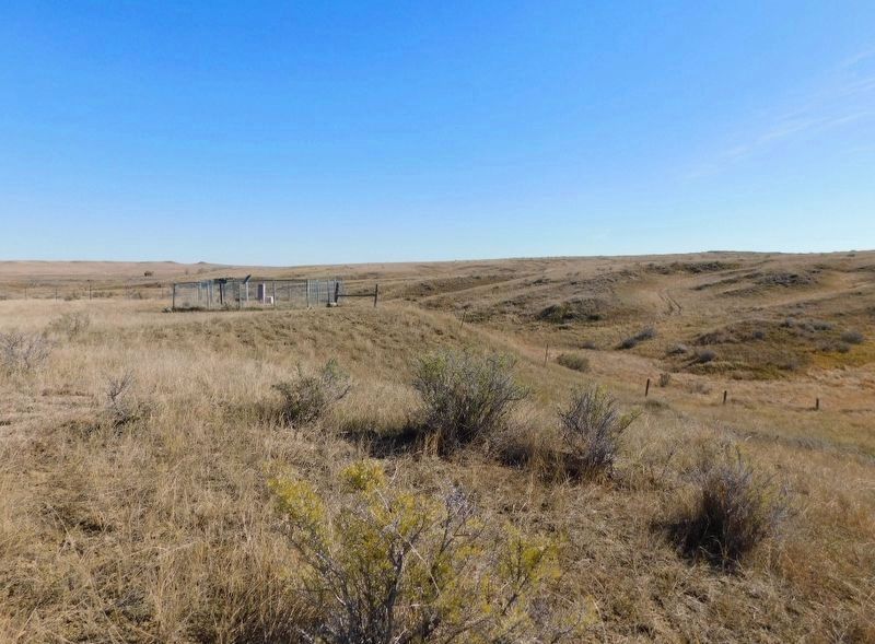
More about this marker. Marker is reached by driving through the private Jordan Ranch property after turning off Indian Creek Road in Niobrara
Photographed by Jimmy Emerson
3. Common Corner Marker
Credits. This page was last revised on January 4, 2026. It was originally submitted on September 28, 2025, by Jimmy Emerson of Dalton, Georgia. This page has been viewed 131 times since then and 78 times this year. Photos: 1, 2, 3. submitted on September 28, 2025, by Jimmy Emerson of Dalton, Georgia. • Andrew Ruppenstein was the editor who published this page.
