
Near Albion in Carter County, Montana — The American West (Mountains)
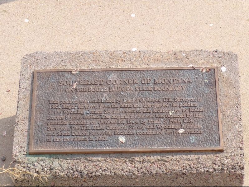
Southeast Corner of Montana on the South Dakota State Boundary
Photographed by Jimmy Emerson
1. Southeast Corner of Montana on the South Dakota State Boundary Marker
Erected 1993.
Topics. This historical marker is listed in this topic list: Political Subdivisions. A significant historical year for this entry is 1885.
Location. 44° 59.884′ N, 104° 2.382′ W. Marker is near Albion, Montana, in Carter County. It is on Albion Road, on the right when traveling north. Touch for map. Touch for directions.

Regionally, this marker is in Southeast Montana, in Custer Country and in the Powder River Basin. It is also in the American Mountain West, in the Lewis & Clark Corridor, on the prairies, on the Great Plains, and specifically on the Northern Plains. Globally, it is in North America, the Western Hemisphere,
this page online
Other nearby markers. At least one other marker is within walking distance of this marker: Corner of South Dakota and Wyoming on the Montana State Boundary (approx. 0.9 miles away).
Photographed by Jimmy Emerson, Sept 2022
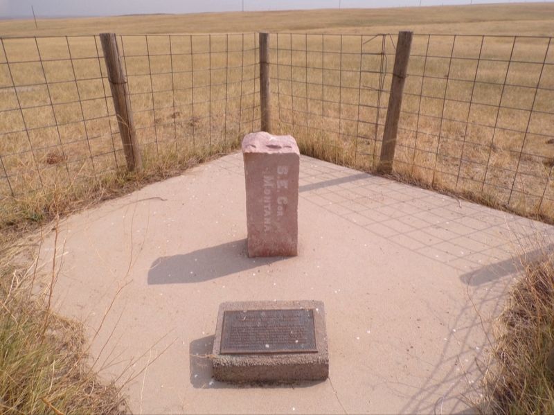
2. Southeast Corner of Montana on the South Dakota State Boundary Marker
Photographed by Jimmy Emerson
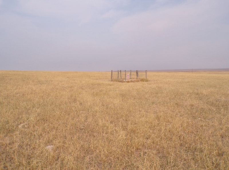
3. Southeast Corner of Montana on the South Dakota State Boundary Marker
Credits. This page was last revised on September 30, 2025. It was originally submitted on September 28, 2025, by Jimmy Emerson of Dalton, Georgia. This page has been viewed 58 times since then and 21 times this year. Photos: 1, 2, 3. submitted on September 28, 2025, by Jimmy Emerson of Dalton, Georgia. • Andrew Ruppenstein was the editor who published this page.
