Burnsville in Yancey County, North Carolina — The American South (South Atlantic)
John "Yellowjacket John" Bailey
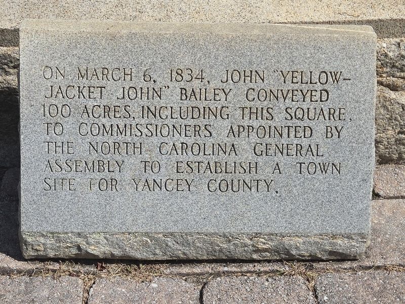
Photographed by Mark Parker, September 28, 2025
1. John "Yellow Jacket John" Bailey Marker
Topics. This historical marker is listed in this topic list: Political Subdivisions. A significant historical date for this entry is March 6, 1834.
Location. 35° 55.032′ N, 82° 17.981′ W. Marker is in Burnsville, North Carolina, in Yancey County. It is at the intersection of Town Square and Main Street, in the median on Town Square. Marker location is the center of Burnsville Town Square. It is at ground level next to the Otway Burns monument. Touch for map. Marker is at or near this postal address: 101 Town Square, Burnsville NC 28714, United States of America. Touch for directions.

Regionally, this marker is in andspecifically he Mountains in the High Country. It is also in the American South, specifically in the Upper South, in Appalachia, and specifically in Southern Appalachia. Globally, it is in North America, the Western Hemisphere, the Western World, and the Anglosphere. Historically, it finds itself in what was once
this page online
Other nearby markers. At least 8 other markers are within walking distance of this marker: Otway Burns Monument (here, next to this marker); Yancey Collegiate Institute (a few steps from this marker); Nu Wray Inn (within shouting distance of this marker); Citizens Bank Building (within shouting distance of this marker); Yancey County War Memorial (within shouting distance of this marker); Honoring Yancey County’s Confederate Dead (within shouting distance of this marker); Yancey County Courthouse (within shouting distance of this marker); Yancey County Veterans Memorial (within shouting distance of this marker). Touch for a list and map of all markers in Burnsville.
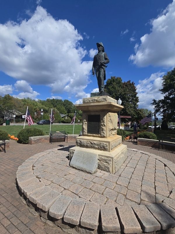
Photographed by Mark Parker, September 28, 2025
2. John "Yellowjacket John" Bailey Marker next to the Otway Burns Monument
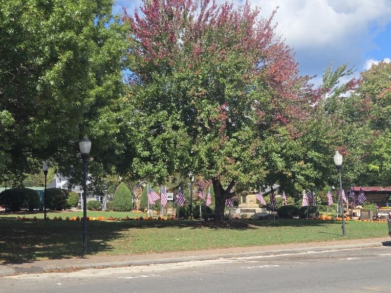
Photographed by Mark Parker, September 28, 2025
3. Burnsville Town Square, area of land donated by John "Yellowjacket John" Bailey
Credits. This page was last revised on October 17, 2025. It was originally submitted on September 30, 2025, by Mark Parker of Hickory, North Carolina. This page has been viewed 84 times since then and 43 times this year. Photos: 1, 2, 3. submitted on September 30, 2025, by Mark Parker of Hickory, North Carolina. • Bernard Fisher was the editor who published this page.
