
Leesylvania in Prince William County, Virginia — The American South (Mid-Atlantic)
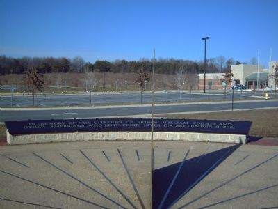
Freedom High School Sundial Memorial
Photographed by Kevin W., January 21, 2008
1. Freedom High School Sundial Memorial Marker
Erected 2004.
Topics. This memorial is listed in this topic list: 9/11 Attacks.
Location. 38° 37.274′ N, 77° 17.328′ W. Memorial is in Leesylvania, Virginia, in Prince William County. It is on Neabsco Mills Road. Touch for map. Memorial is at or near this postal address: 15200 Neabsco Mills Road, Woodbridge VA 22191, United States of America. Touch for directions.

Regionally, this memorial is in the Washington Metropolitan Area, in Northern Virginia, and in the Piedmont. It is also in the American South, specifically in the Upper South, in the Mid-Atlantic, and on the Eastern Seaboard. Globally, it is in the North Atlantic Region, North America, the Western Hemisphere, the Western World, and the Anglosphere. Historically, it finds itself in what was once the territory of the Mississippian Culture, one of the original Thirteen Colonies, one of the Confederate States of America, and the Antebellum South.
Other nearby markers. At least
this page online
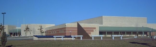
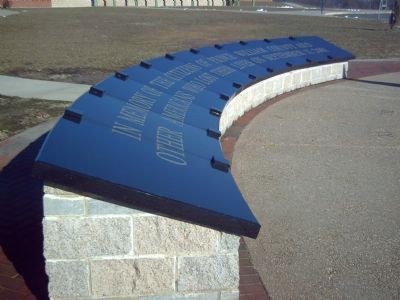
Regarding Freedom High School Sundial Memorial. Freedom High School, a public high school located in Prince William County, Virginia, was established in 2004. The School held its dedication ceremony on September 11, 2004. On that same date, they also dedicated a memorial to the Prince William County victims of the tragic events of September 11, 2001.
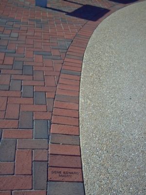
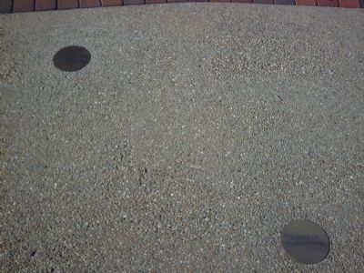
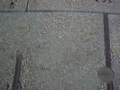
As a permanent part of the high school, there is a 62-foot diameter sundial dedicated to these heroes. The names of the Prince William County victims are inscribed on the bricks around the sundial. Four brass plates are placed on the face of the sundial
Photographed by Kevin W., January 21, 2008
2. Freedom High School Sundial Memorial Marker
Related marker. Click here for another marker that is related to this marker. This marker is the 9/11 Liberty Memorial, located in the Prince William County Government Complex
Photographed by Kevin W., January 21, 2008
3. Freedom High School Sundial Memorial Marker
Photographed by Kevin W., January 21, 2008
4. Bricks with victim's names surround the sundial.
Photographed by Kevin W., January 21, 2008
5. Brass plates for Flights 11 and 175
Flight 11 crashed into the World Trade Center's North Tower at approximately 8:46 am. Flight 175 crashed into the South Tower at around 9:03 am.
Photographed by Kevin W., January 21, 2008
6. Brass plates for Flights 77 and 93
Flight 77 crashed into the Pentagon at approximately 9:38. Flight 93 crashed near Shanksville, Pennsylvania at around 10:03.
Credits. This page was last revised on October 2, 2025. It was originally submitted on January 22, 2008, by Kevin W. of Stafford, Virginia. This page has been viewed 1,895 times since then and 43 times this year. Last updated on October 1, 2025, by N. Jozsa of Woodbridge, Virginia. Photos: 1, 2, 3, 4, 5, 6. submitted on January 22, 2008, by Kevin W. of Stafford, Virginia. • Devry Becker Jones was the editor who published this page.
