Fort Worth in Tarrant County, Texas — The American South (West South Central)
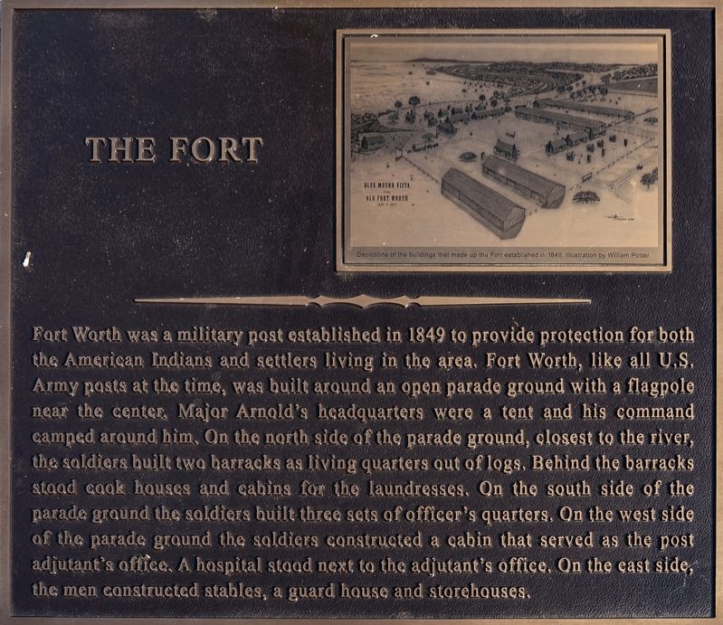
The Fort
Photographed by Mansfieldphoto.com, August 27, 2025
1. The Fort Marker
Captions
(Photo #1) Depictions of the buildings that made up the Fort established in 1849. Illustration by William Potter.
Topics. This historical marker is listed in these topic lists: Forts and Castles • Settlements & Settlers. A significant historical year for this entry is 1849.
Location. 32° 45.528′ N,
this page online

Regionally, this marker is in the Prairies & Lakes Region. It is also in the American South. Globally, it is in North America, a Gulf of Mexico state, the Western Hemisphere, the Western World, and the Anglosphere. Historically, it finds itself in what was once New Spain, the Republic of Texas, and one of the Confederate States of America.
Other nearby markers. At least 8 other markers are within walking distance of this marker: Ripley Allen Arnold (a few steps from this marker); Founding Fort Worth (a few steps from this marker); First School (approx. 0.2 miles away); The Fort Worth Hotel (approx. 0.2 miles away); Steel's Tavern Oaks (approx. 0.2 miles away); Paddock Viaduct (approx. 0.2 miles away); Tarrant County Criminal Courts Building

Photographed by Mansfieldphoto.com, August 27, 2025
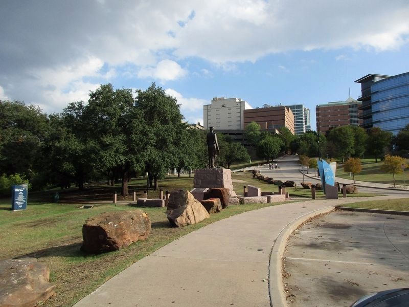
2. The marker is located around the Ripley Arnold Statue
Also see . . . The History of Fort Worth: From Army Outpost to Urban Center. Texas State Historical Association (TSHA)
Fort Worth began life literally as a U.S. Army outpost on the frontier running through Central Texas. Contrary to popular lore, it was never called “Camp Worth.” (That name belonged to the U.S. Army installation at San Antonio.) Fort Worth was the northernmost of a defensive line of posts constructed starting in late 1848 to separate Indians from White settlers. The posts were manned initially by members of the U.S. Second Dragoons regiment. Fort Worth was the fifth of eight forts to be constructed on that defensive line. In May 1849 Brig Gen. William S. Harney, temporarily commanding the Eighth Military Department following the cholera death of Maj. Gen. William Jenkins Worth, ordered Bvt. Maj. Ripley Arnold to take troops north from Fort Graham on the Brazos River and find a suitable site for an outpost on the upper Trinity.(Submitted on October 3, 2025, by James Hulse of Medina, Texas.)
Photographed by Jeff Leichsenring, October 26, 2025
3. The Fort Marker
Credits. This page was last revised on October 31, 2025. It was originally submitted on October 2, 2025, by James Hulse of Medina, Texas. This page has been viewed 230 times since then and 142 times this year. Photos: 1, 2. submitted on October 3, 2025, by James Hulse of Medina, Texas. 3. submitted on October 26, 2025, by Jeff Leichsenring of Garland, Texas.
