Princeton in Gibson County, Indiana — The American Midwest (Great Lakes)
Tri-State Tornado
March 18, 1925

Photographed by Jason Voigt, October 1, 2025
1. Tri-State Tornado Marker
front side
After devastating parts of Missouri and Illinois, the Tri-State Tornado crossed the Wabash River and entered southern Indiana on its 219-mile path. The tornado destroyed the town of Griffin and caused massive damage to Owensville before hitting Princeton's south end at 4:18 p.m. Here, the tornado struck quickly with no warning, killing 45 people and injuring hundreds.
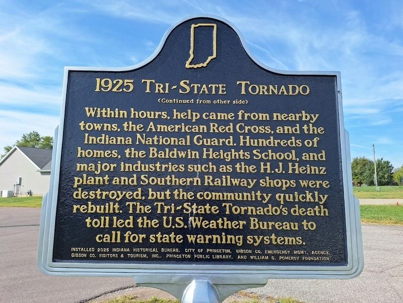
Within hours, help came from nearby towns, the American Red Cross, and the Indiana National Guard. Hundreds of homes, the Baldwin Heights School, and major industries such as the H.J. Heinz plant and Southern Railway shops were destroyed, but the community quickly rebuilt. The Tri-State Tornado's death toll led the U.S. Weather Bureau to call for state warning systems.
Erected 2025 by Indiana Historical Bureau, City of Princeton, Gibson County Emergency Mgmt. Agency, Gibson County Visitors & Tourism, Inc., Princeton Public Library and William G. Pomeroy Foundation.
Topics and series. This historical marker is listed in this topic list: Disasters. In addition, it is included in the Indiana Historical Bureau Markers, and the William G. Pomeroy Foundation
this page online
Location. 38° 20.467′ N, 87° 34.25′ W. Marker is in Princeton, Indiana, in Gibson County. It is at the intersection of Garfield Avenue and Madison Avenue, on the right when traveling west on Garfield Avenue. Touch for map. Marker is at or near this postal address: 400 Garfield Ave, Princeton IN 47670, United States of America. Touch for directions.

Regionally, this marker is in the Tri-State Region, in Southern Indiana, and in the Wabash Valley. It is also in the American Midwest and in the Corn Belt. Globally, it is in North America, the Western Hemisphere, the Western World, and the Anglosphere. Historically, it finds itself in what was once the territory of the Mississippian Culture and also the Northwest Territory.
Other nearby markers. At least 8 other markers are within walking distance of this marker: Welborn-Ross (House) (approx. 0.6 miles away); South Princeton Historic District (approx. 0.9 miles away); Prehistoric Landscape (approx. one mile away); Native Americans (approx. one mile away); Stellar Community (approx. one mile away); Early Settlers (approx.
Photographed by Jason Voigt, October 1, 2025
2. Tri-State Tornado Marker
reverse side
Also see . . .
1. 1925 Tri-State Tornado on Wikipedia. (Submitted on October 2, 2025, by Jason Voigt of Glen Carbon, Illinois.)
2. 1925 Tri-State Tornado (National Weather Service). (Submitted on October 2, 2025, by Jason Voigt of Glen Carbon, Illinois.)
Photographed by Jason Voigt, October 1, 2025
3. Tri-State Tornado Marker
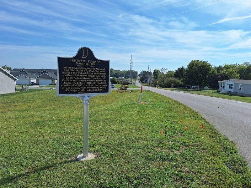
Looking east on Garfield Avenue
Credits. This page was last revised on October 2, 2025. It was originally submitted on October 2, 2025, by Jason Voigt of Glen Carbon, Illinois. This page has been viewed 77 times since then and 29 times this year. Photos: 1, 2, 3. submitted on October 2, 2025, by Jason Voigt of Glen Carbon, Illinois.
