Mansfield Center in Chaplin in Northeastern Region, Connecticut — The American Northeast (New England)
Chaplin
Photographed by Jimmy Emerson, October 4, 2025
1. Chaplin Marker
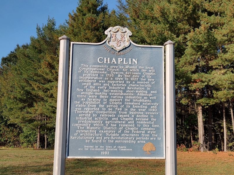
This community grew up around the local Congregational Church for which the will of its namesake, Deacon Benjamin Chaplin, provided in 1795. By the date of its incorporation as a town in 1822 the new settlement was supported by a number of small mills and factories characteristic of the early Industrial Revolution in New England: hat-making, shoe-making, and shingle-making establishments. Although there were these various industries as well as farming to support the inhabitants, the population of Chaplin remained relatively stable from the period of its founding, and was reported to be 796 in the year 1850. Thereafter competition from business centers served by railroads caused a decline in industrial activity, and Chaplin became the predominantly agricultural and residential community which it has remained to this time. The Historic District of Chaplin contains outstanding examples of the Federal style of architecture. Notable structures from the Revolutionary and pre-Revolutionary periods are to be found in the surrounding area.
Erected 1982 by Town of Chaplin and the Connecticut Historical Commission.
Topics.
this page online
Location. 41° 48.114′ N, 72° 7.5′ W. Marker is in Chaplin in Northeastern Region, Connecticut. It is in Mansfield Center. It is on Phoenixville Road (Connecticut Route 198) north of N Bear Hill Road, on the left when traveling north. Located next to Chaplin Town Hall. Touch for map. Marker is at or near this postal address: 495 Phoenixville Road, Chaplin CT 06235, United States of America. Touch for directions.

Regionally, this marker is in the Quiet Corner. It is also in the American Northeast and in New England. Globally, it is in North America, the Western Hemisphere, the Western World, and the Anglosphere. Historically, it finds itself in what was once Windham County and also one of the original Thirteen Colonies.
Other nearby markers. At least 8 other markers are within 5 miles of this marker, measured as the crow flies: Chaplin Veterans Memorial (approx. 0.7 miles away); Chaplin World War II Roll of Honor (approx. 0.7 miles away); Nathaniel Lyon Birthplace

Photographed by Jimmy Emerson, October 4, 2025
2. Chaplin Marker
Also see . . .
1. Town of Chaplin, Connecticut. (Submitted on October 7, 2025, by Michael Herrick of Southbury, Connecticut.)
2. Chaplin, Connecticut (Wikipedia). (Submitted on October 7, 2025, by Michael Herrick of Southbury, Connecticut.)
Credits. This page was last revised on May 19, 2026. It was originally submitted on October 5, 2025, by Jimmy Emerson of Dalton, Georgia. This page has been viewed 91 times since then and 50 times this year. Photos: 1, 2. submitted on October 5, 2025, by Jimmy Emerson of Dalton, Georgia. • Michael Herrick was the editor who published this page.
